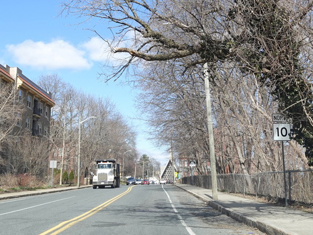
College Highway, Southwick Road, South Maple Street, West Silver Street, Broad Street, Elm Street, Union Avenue, North Elm Street, Southampton Road, Main Street, Northampton Street, Easthampton Road, South Street, New South Street, King Street, North King Street, West Street, State Road, Greenfield Road, Deerfield Street, Bank Row, Federal Street, Bernardston Road, Church Street, Northfield Road, Wanamaker Road

- Direction:
- North/South
- Southern Terminus:
- Salmon Brook Street (US 202/CT 10) at the Connecticut-Massachusetts state line
- Northern Terminus:
- Manning Hill Road (NH 10) at the Massachusetts-New Hampshire state line
- Distance:
- 61.03 miles
- Counties:
- Hampden, Hampshire, Franklin
- Signed:
- Yes
MA 10 is a north/south route through the Pioneer Valley region of Massachusetts. CT 10 becomes MA 10 upon entering the state multiplexed with US 202. The two routes run north through Westfield and have an interchange with the Massachusetts Turnpike (I-90) at exit 41. Shortly thereafter, US 202 splits off to the east toward Holyoke, while MA 10 continues to the north. In Northampton, it joins US 5, and the two routes are multiplexed for much of the remainder of their length in the state. In Bernardston, MA 10 splits off to the east. After crossing the Connecticut River, it turns north onto MA 63. The two routes are multiplexed until just south of the state line, where they split. MA 10 continues north into New Hampshire as NH 10.
| Photo Gallery |
|---|
| Map |