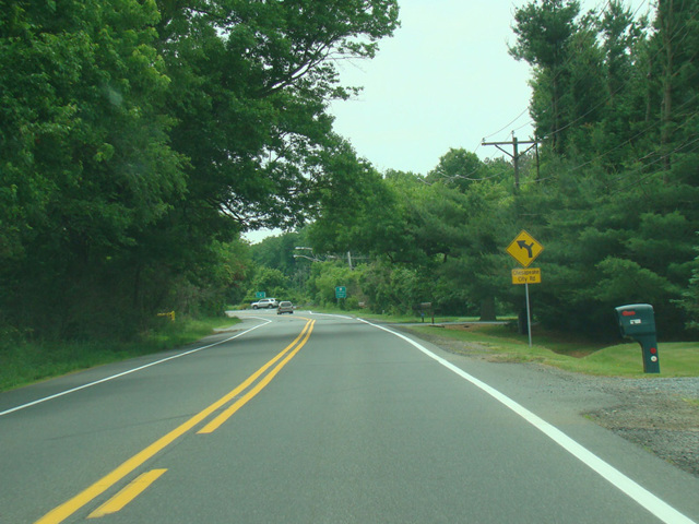
- Direction:
- North/South
- Southern Terminus:
- Dupont Parkway (US 13) in Townsend
- Northern Terminus:
- South Dupont Highway (US 13) in New Castle
- Distance:
- 21.99 miles
- Counties:
- New Castle
- Signed:
- Yes
DE 71 is a north/south route that forms a loop to the east of US 13. It begins at Dupont Parkway (US 13) in Townsend and runs northeast as Summit Bridge Road to Middletown, where it is known as Broad Street and North Broad Street. It then merges with Middletown Warwick Road, the old alignment of US 301, and is known as Summit Bridge Road again. After a few miles, DE 896 joins DE 71 along Summit Bridge Road. It crosses the Chesapeake and Delaware Canal via the Summit Bridge. On the other side, the two routes split. Summit Bridge Road continues north as DE 896, while DE 71 splits off onto Red Lion Road. It loops around the south side of Lums Pond State Park and then runs northeast. It ends at South Dupont Highway (US 13) just north of where US 13 splits off from DE 1.
| Photo Gallery |
|---|
| Map |