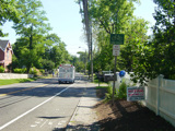
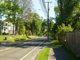
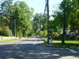
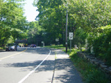
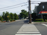
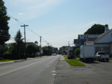
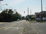
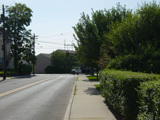
Tokeneke Road, Cudlipp Street, Rowayton Avenue, McKinley Street, Highland Avenue, Wilson Avenue, Meadow Street, Woodward Avenue, Burritt Avenue, Water Street, Washington Street, Fort Point Street, Van Zant Street, Cemetery Street, Gregory Boulevard, East Avenue, Winfield Street, Saugatuck Avenue, Park Street, Charles Street, Riverside Avenue, Bridge Street, Compo Road South, Compo Road North, Main Street, Easton Road, Westport Turnpike, Westport Road
Southbound Views
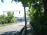
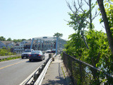
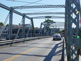
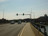
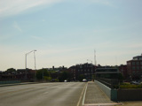
The William F. Cribari Bridge carries Bridge Street over the Saugatuck River.
Photos taken June 2016.
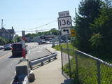
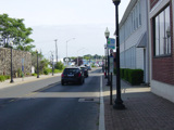
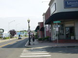
Bridge Street ends at a traffic light at Riverside Avenue. Turn left to stay on CT 136.
Photos taken June 2016.
Riverside Avenue passes under the Connecticut Turnpike (I-95), but there is no interchange here.
Photos taken June 2016.
Charles Street splits off to the right. Bear left onto Park Street to stay on CT 136.
Photos taken June 2016.
Park Street ends after one block at Saugatuck Avenue. Turn left to stay on CT 136. CT 33 begins to the right.
Photo taken June 2016.
Skipping a couple of miles to Norwalk, Winfield Street ends at East Avenue. Turn left to stay on CT 136.
Photo taken August 2014.
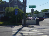
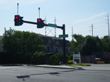
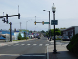
Van Zant Street ends here at Fort Point Street. Turn left to stay on CT 136. Route signage is missing at this intersection.
Photos taken August 2014.
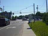
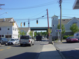
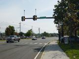
There is a traffic light at Seaview Avenue. Fort Point Street changes names here to become Washington Street.
Photos taken August 2014.
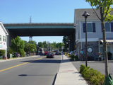
At the end of the bridge, there is a traffic light. Turn left onto Water Street to stay on CT 136. Route signage is missing, once again. North Water Street is to the right. Washington Street continue straight ahead as a local street.
Photo taken August 2014.
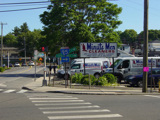
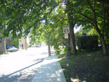
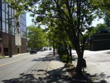
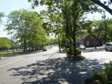
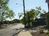
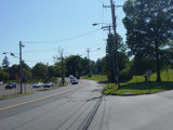
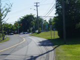
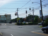
Water Street runs south as a two-lane undivided road. There is a traffic light at Hanford Place.
Photos taken August 2014.
