Military Highway, Laurel Hill Road, Laurel Hill Avenue, North Main Street, Boswell Avenue, Norwich Avenue, Jewett City Road, River Road, Main Street, Plainfield Road, Norwich Road, Putnam Road, Wauregan Road, Putnam Pike, Killingly Avenue, Grove Street, South Main Street, Mechanics Street, Riverside Drive

- Direction:
- North/South
- Southern Terminus:
- Long Hill Road (US 1) in Groton
- Northern Terminus:
- Connecticut-Massachusetts state line
- Distance:
- 54.46 miles
- Counties:
- New London, Windham
- Signed:
- Yes
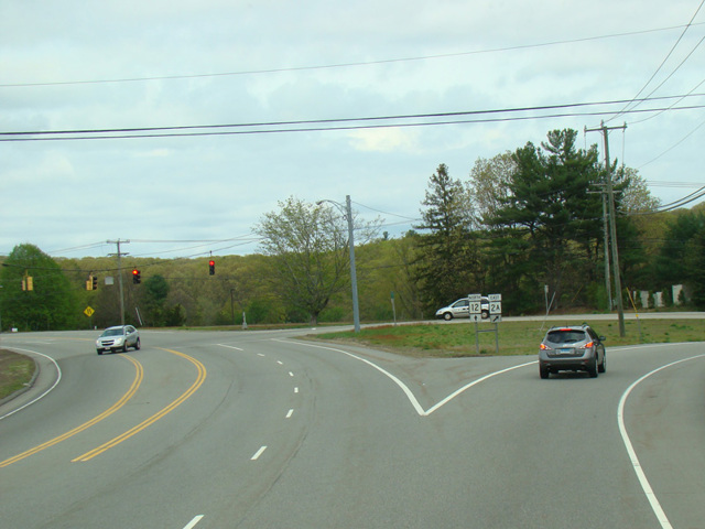
CT 12 is a north/south route through the easternmost section of Connecticut. It serves as a local alternative to I-395. It begins at Long Hill Road (US 1) in Groton and runs north to the border with Massachusetts, where it becomes MA 12.
| Photo Gallery |
|---|
| Map |