West Webster Road, Craigsville Road, Middletown Road, Main Street, Park Place, Marlinton Road, North Fork Cherry Road, Highland Scenic Highway, Seneca Trail, Allegheny Drive, North Fork Highway, Keyser Avenue, Maple Hill Avenue, Virginia Avenue, South Main Street, North Main Street, Corridor H, West Main Street, East Main Street
Eastbound Views

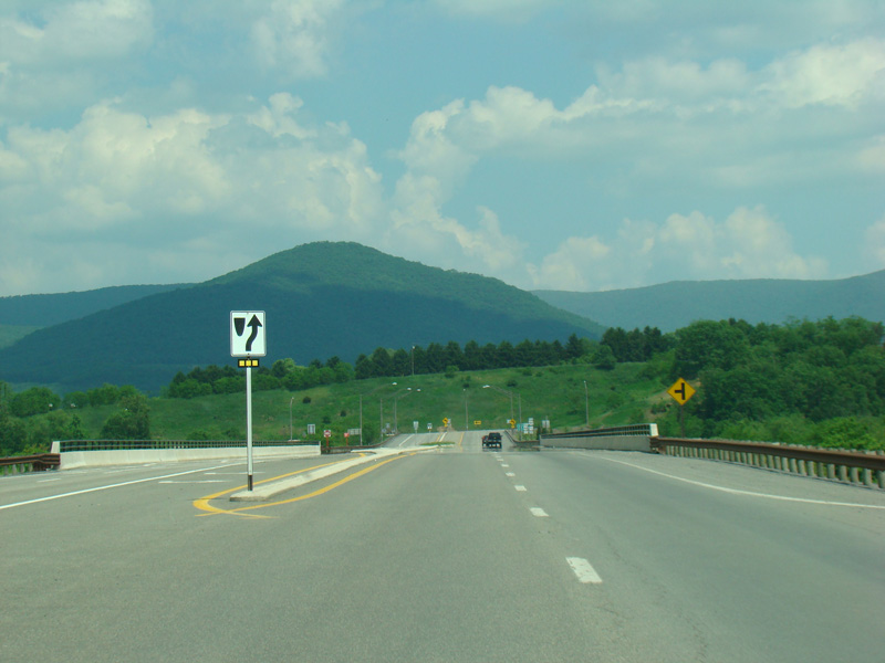
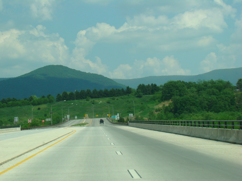
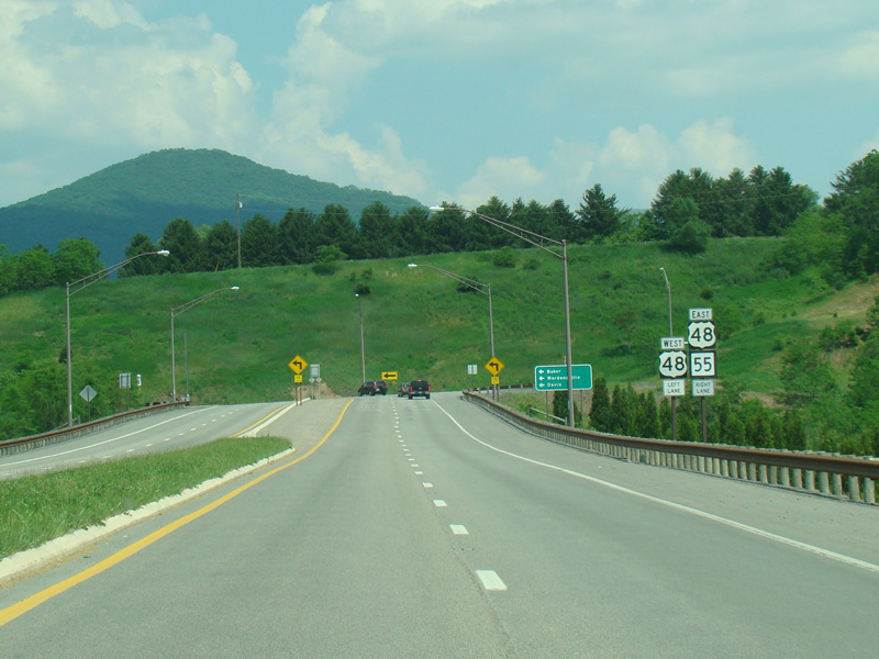

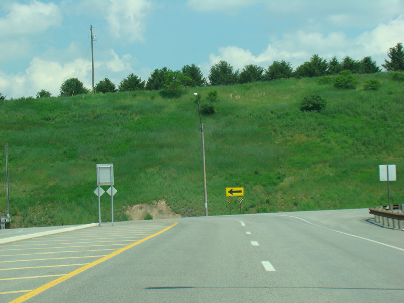
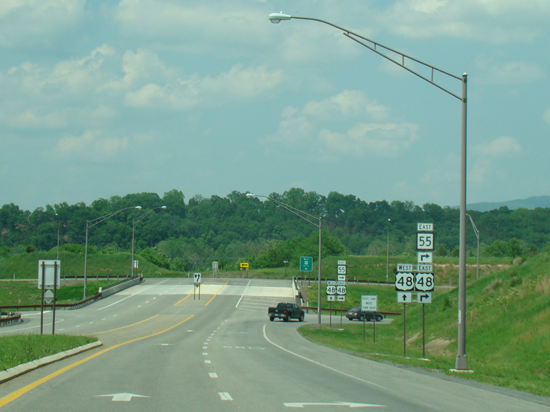


WV 55 splits off from US 220/WV 28 and runs west as a four-lane divided road. It then curves to the north and has an interchange with Corridor H (US 48). Make the first right to go east or the second left to go west. Get on going east to stay on WV 55.
Photos taken May 2016.
WV 55 is multiplexed with US 48 to the border with Virginia, where it becomes VA 55.