Main Street, Tennessee Avenue, Coal Heritage Road, Riverside Drive, McDowell Street, Wyoming Street, Stewart Street, Pinnacle Avenue, Guyandotte Avenue, First Street, Moran Avenue, Howard Avenue, Second Street, Black Eagle Road, Tams Highway, Robert C. Byrd Drive, Eisenhower Drive, Lundale Drive, Old Fayetteville Road, Court Street, Beckwith Road, Midland Trail, Gauley River Road, Dixie Highway, Big Otter Highway, Mill Stone Road, South Calhoun Highway, North Calhoun Highway, High Street, Spring Street, East Main Street, Pike Road
Southbound Views
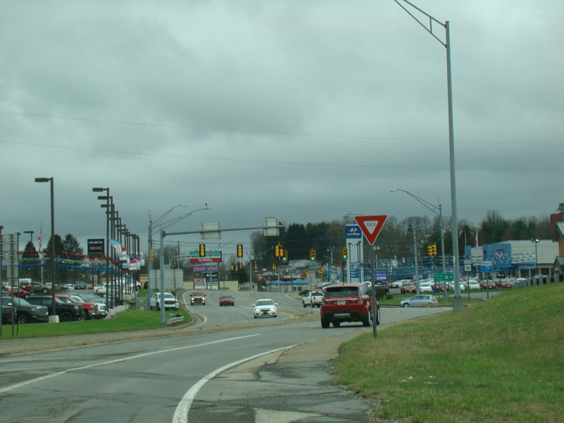
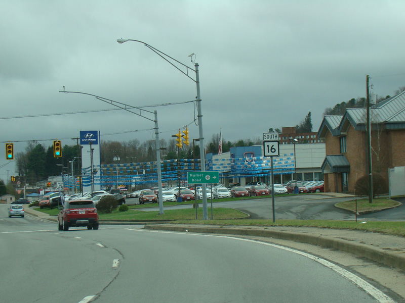
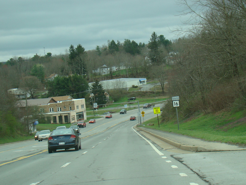
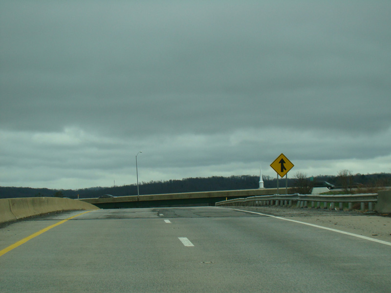
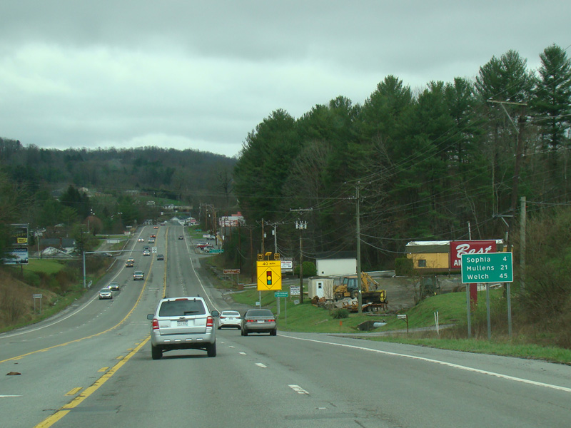
WV 16 splits off from Eisenhower Drive (US 19) and runs south as Robert C. Byrd Drive, a four-lane undivided road. There is a traffic light at Market Road (CR 21/4).
Photos taken April 2017.
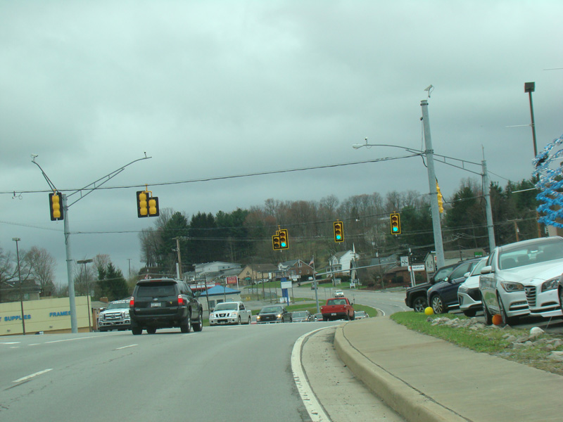
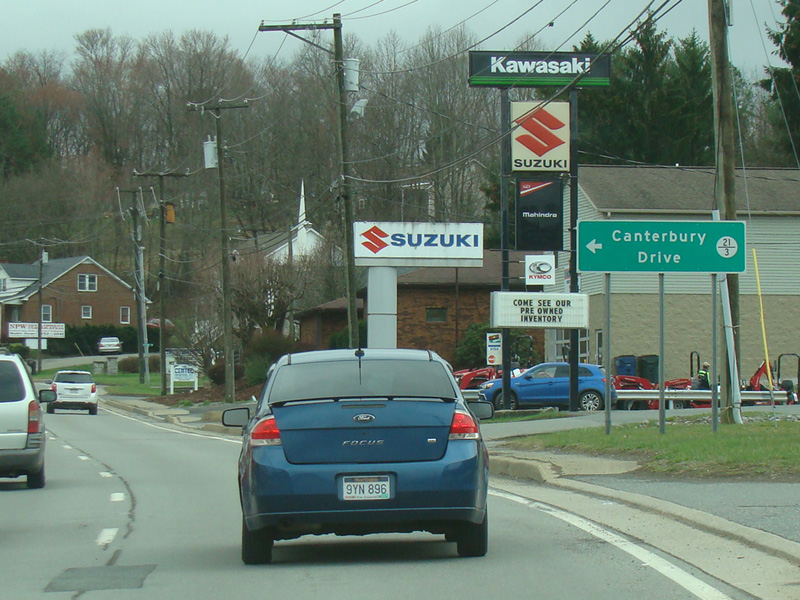

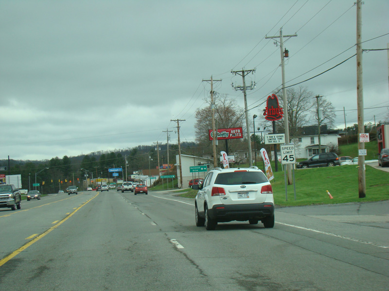
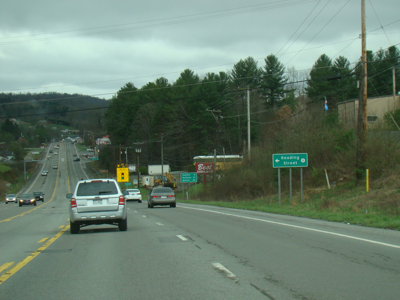
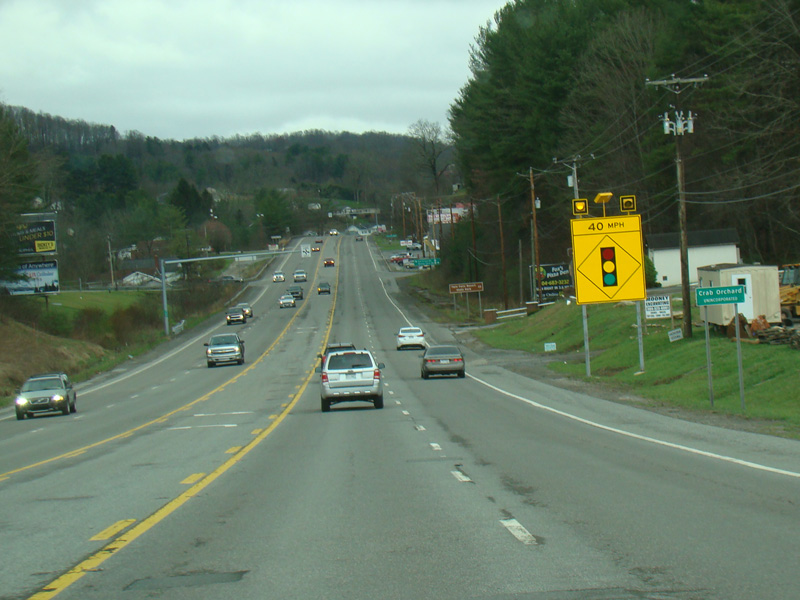
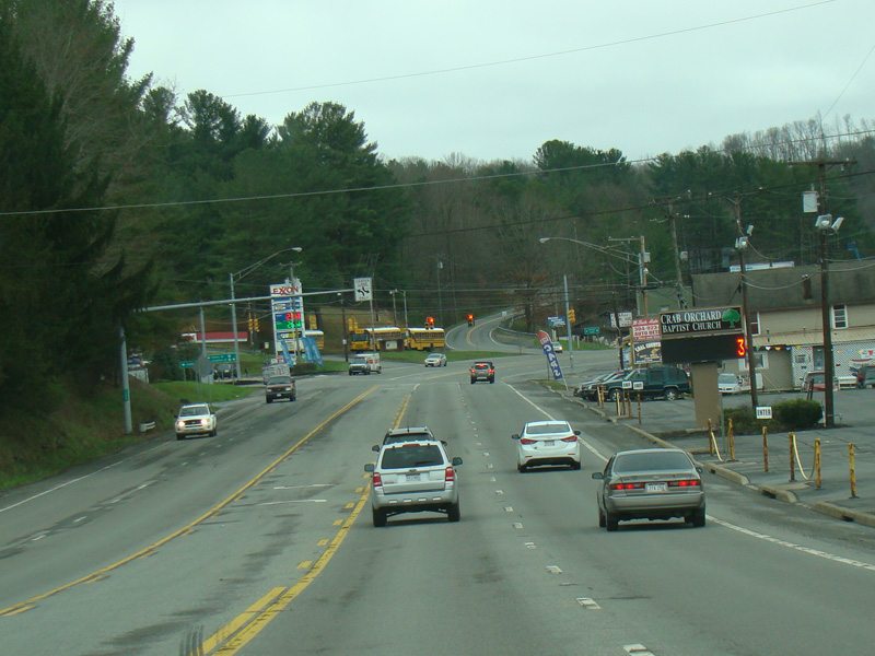
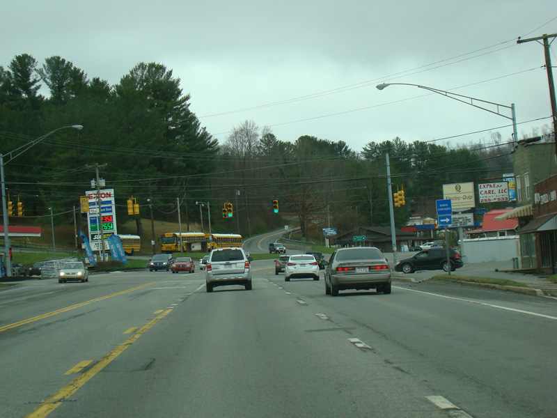
Robert C. Byrd Drive continues south as a four-lane undivided road. Canterbury Drive (CR 21/3) begins on the left. Sherman Heights Road (CR 16/70) begins on the right.
Photos taken April 2017.

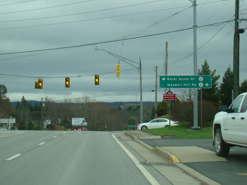
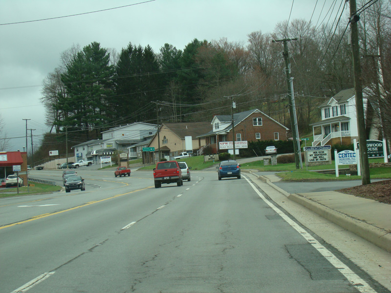
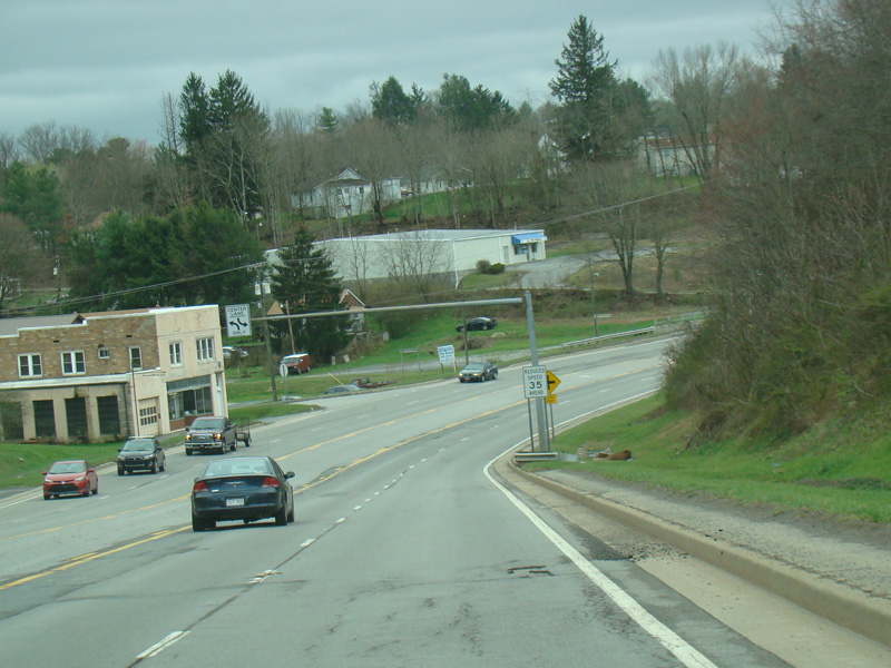
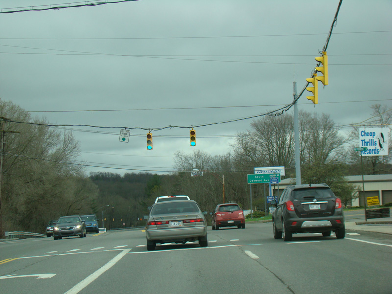
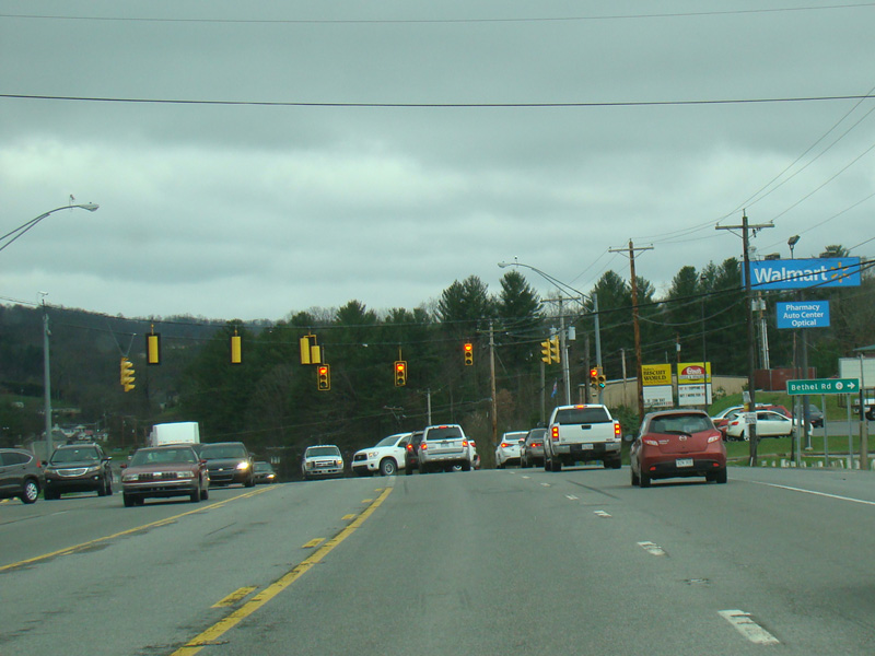
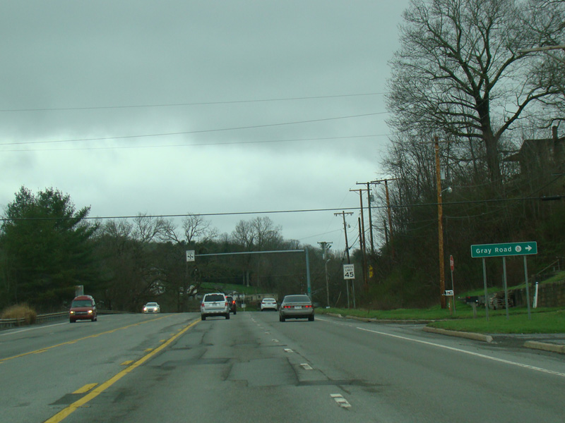
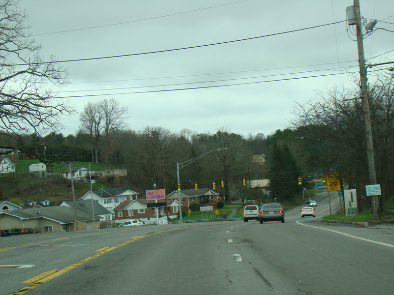
There is a traffic light at Rural Acres Drive (CR 19/8) and Maxwell Hill Road (CR 6).
Photos taken April 2017.
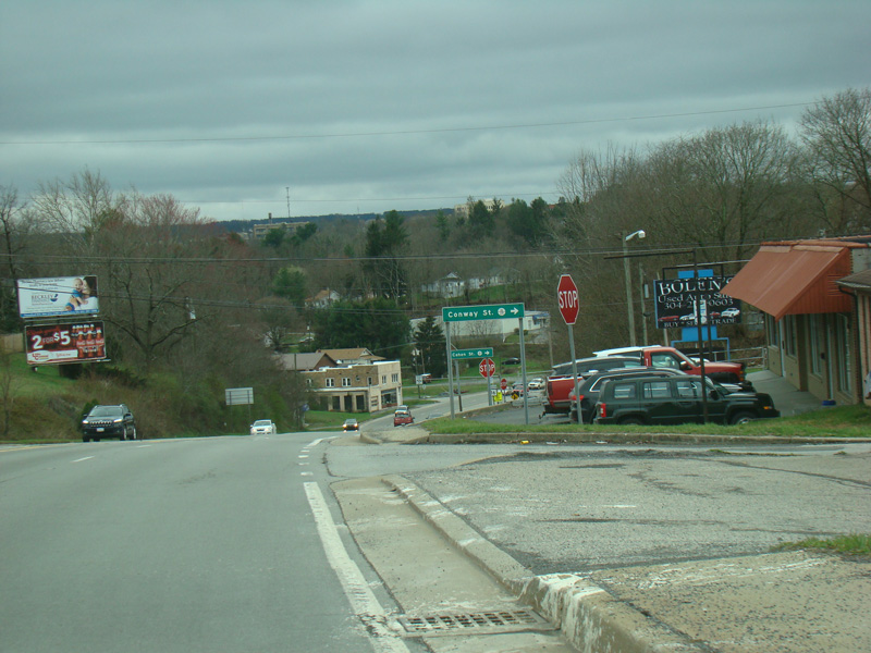
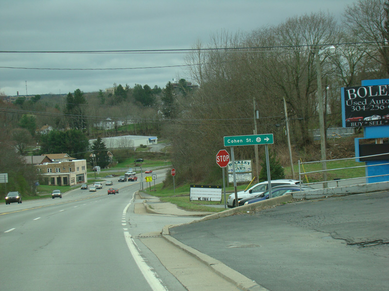

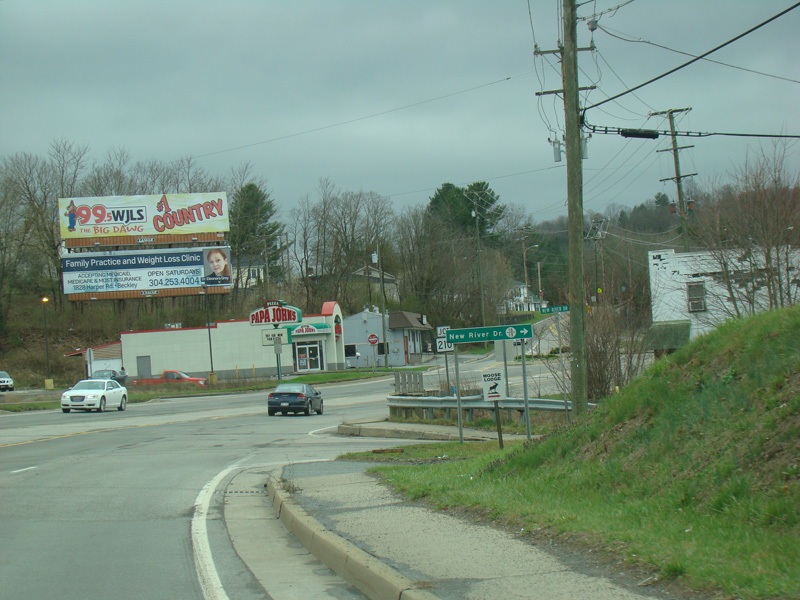
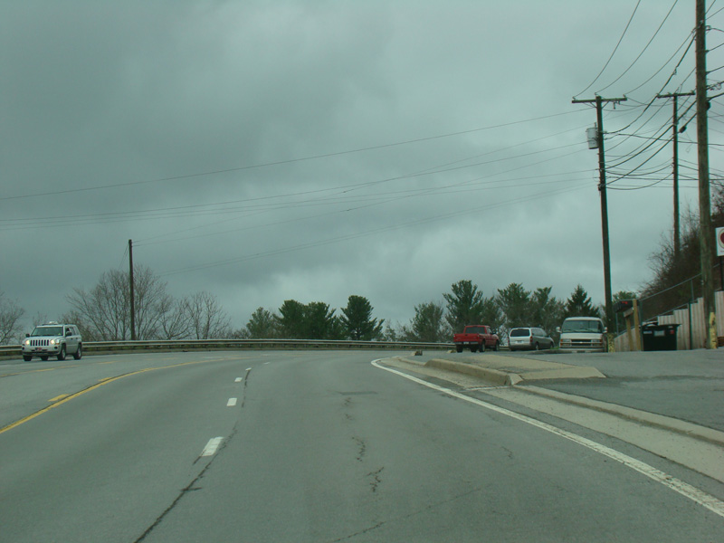
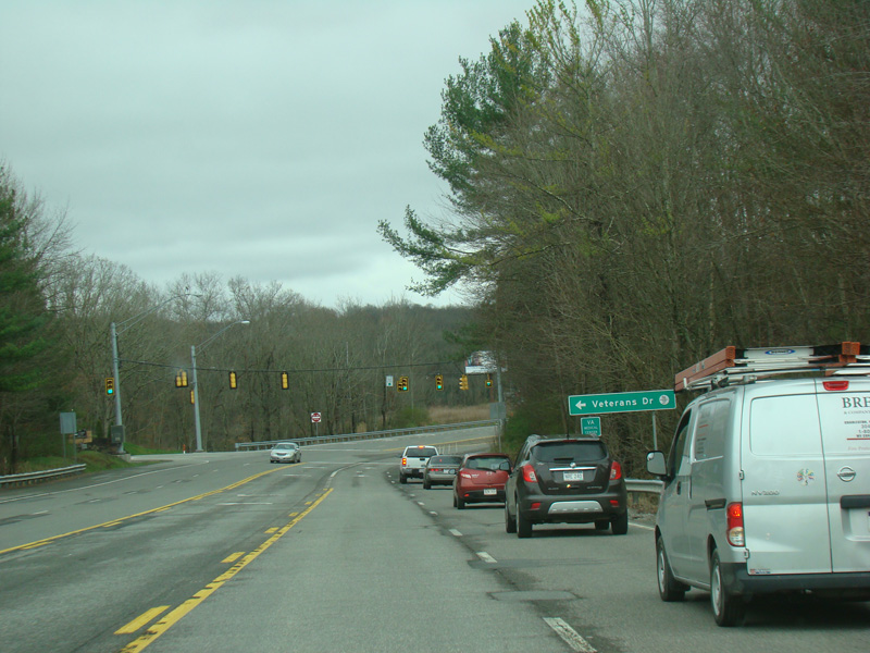
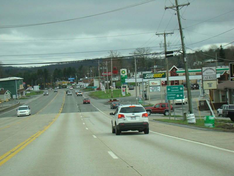
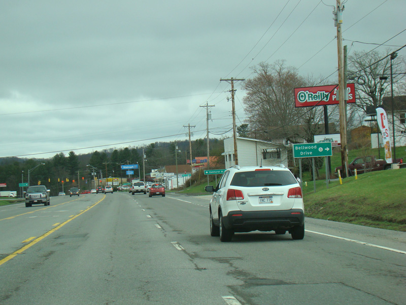
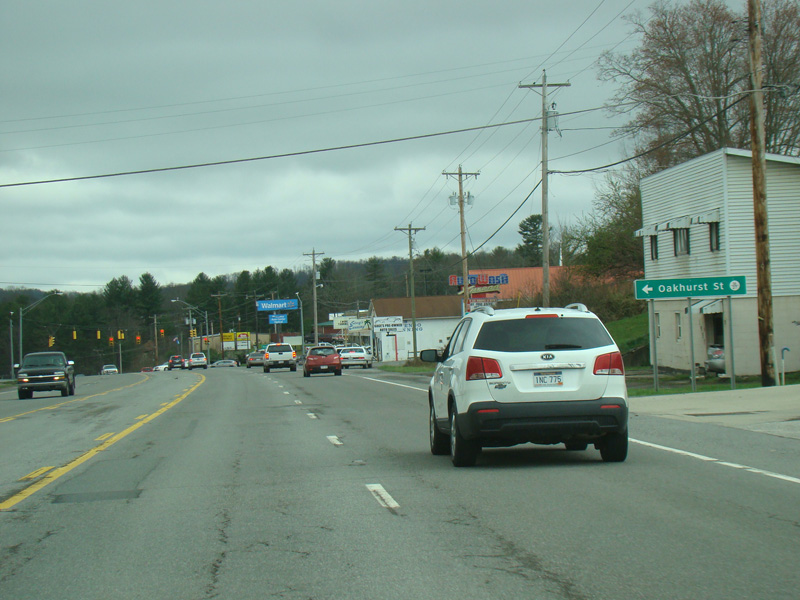
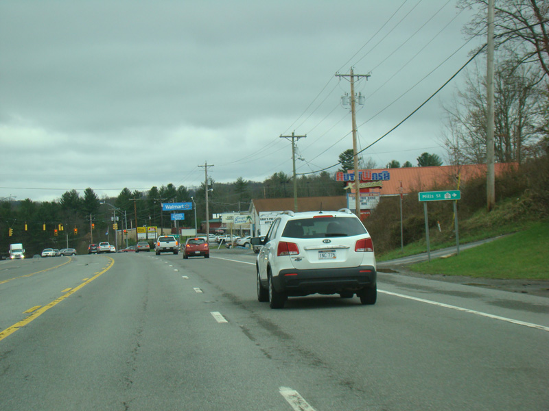
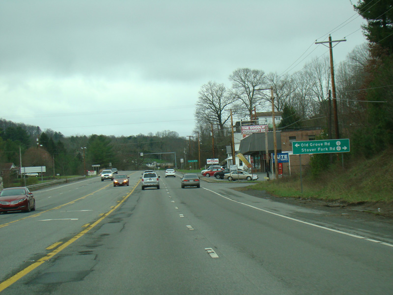
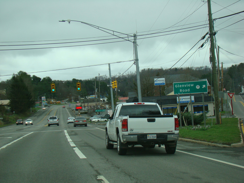
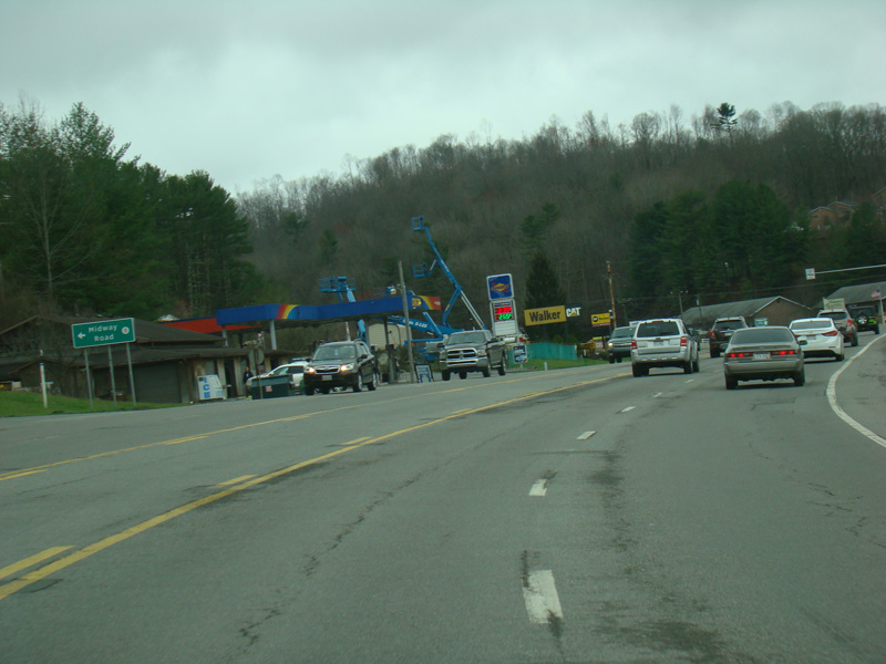
Conway Street (CR 16/29), Cohen Street (CR 16/43), and New River Drive (CR 16/19) begin on the right.
Photos taken April 2017.
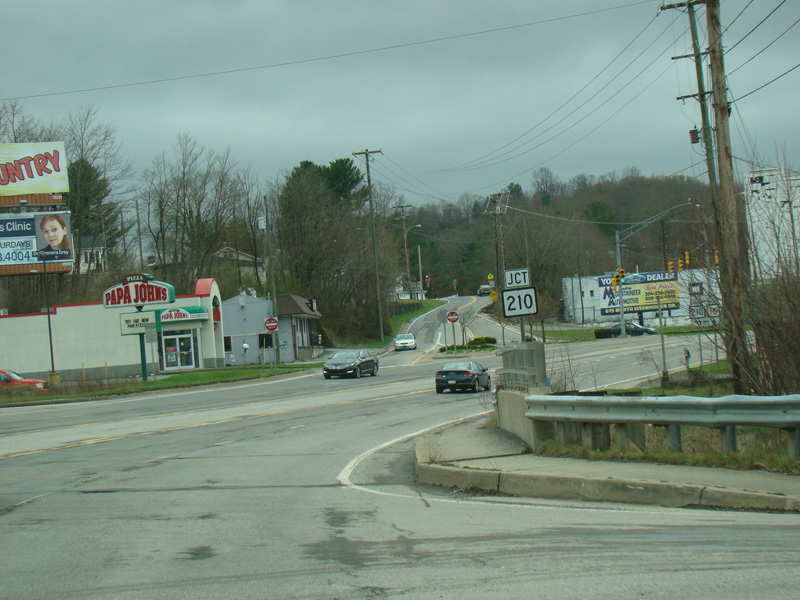
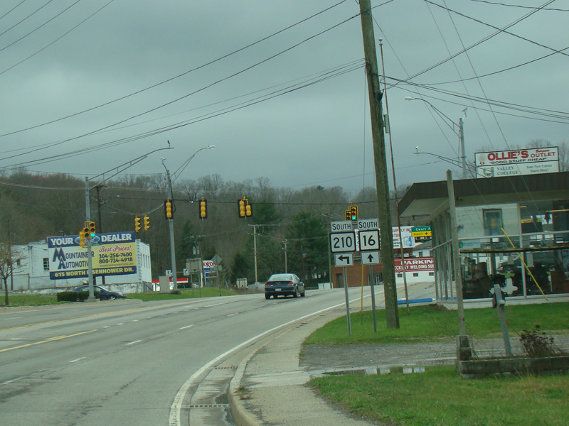
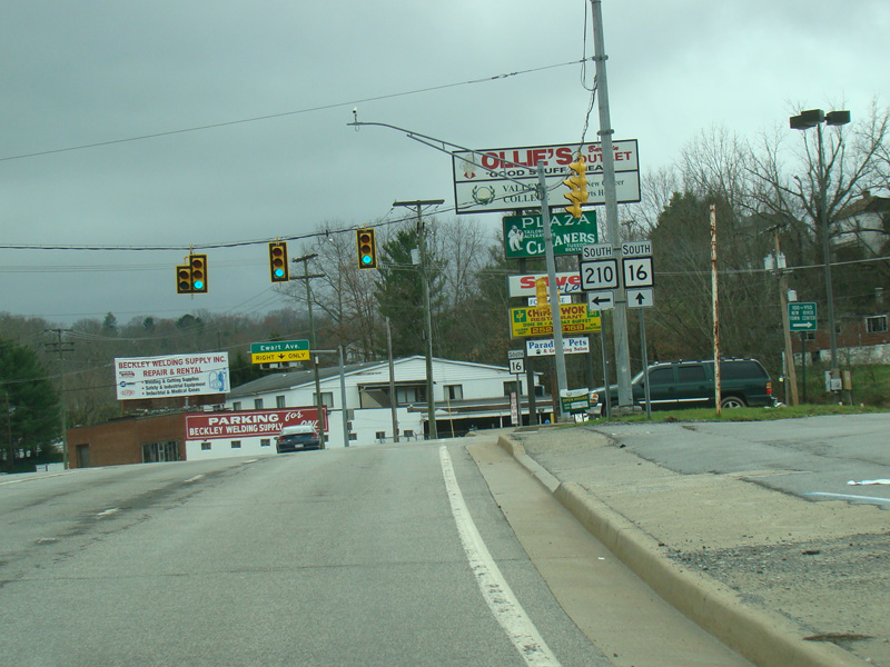
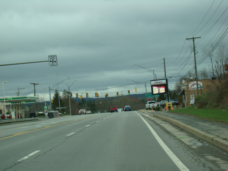
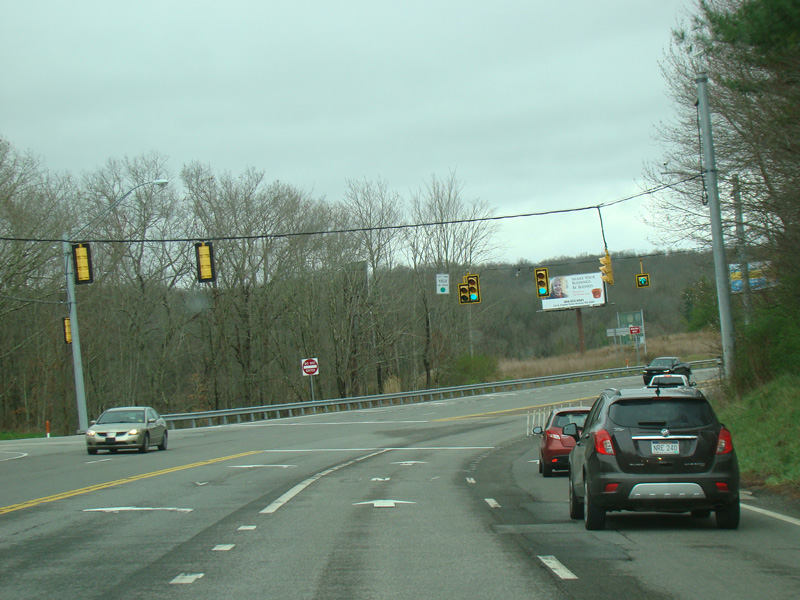
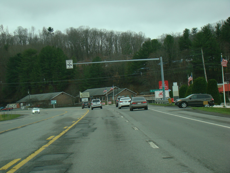
North Kanawha Street (WV 210) begins on the left at a traffic light.
Photos taken April 2017.
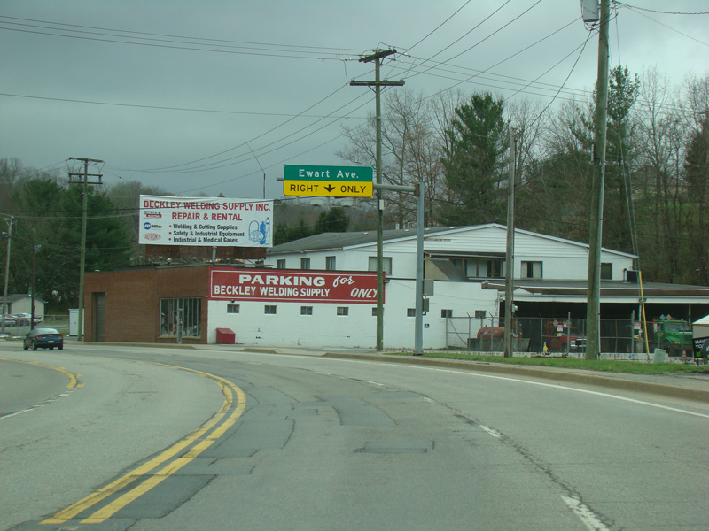
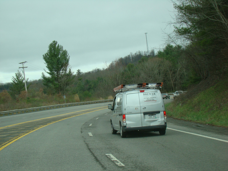
Robert C. Byrd Drive narrows down to two lanes, with the right lane becoming a turn lane for Ewart Avenue.
Photos taken April 2017.
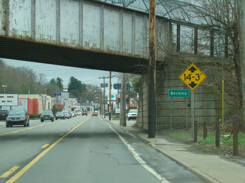
Welcome to Beckley!
Photos taken April 2017.
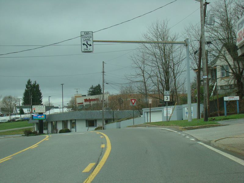
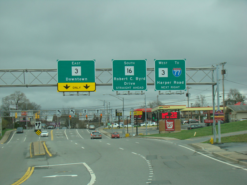
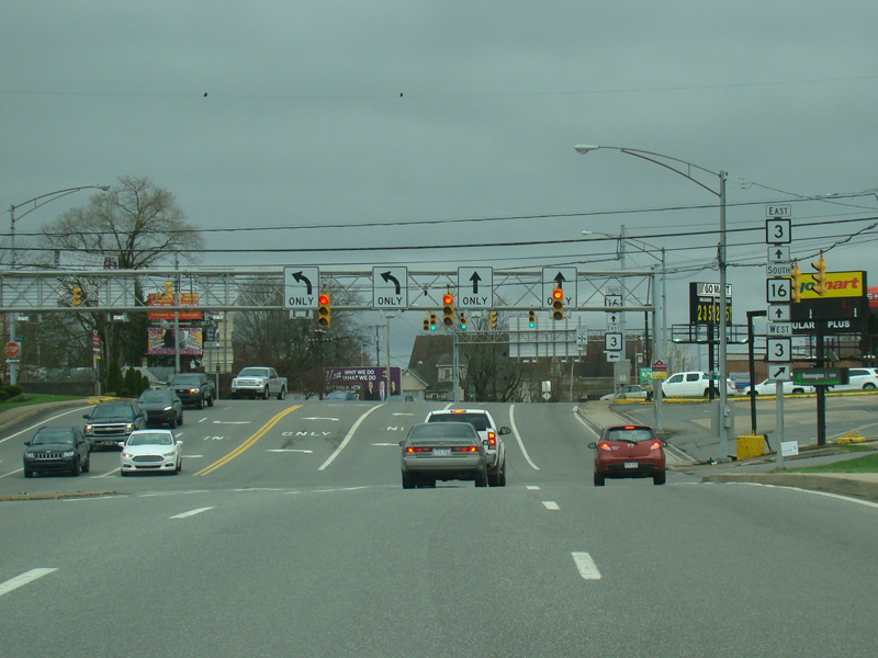
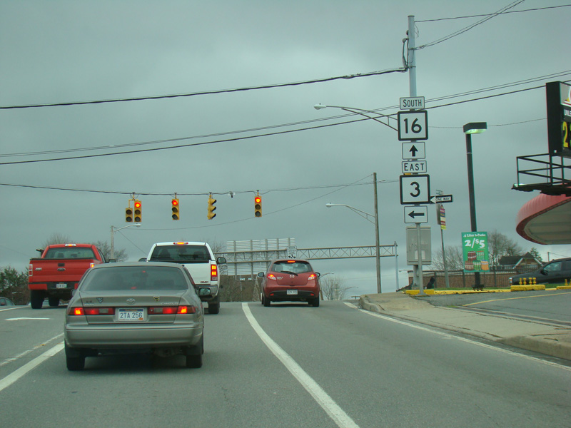
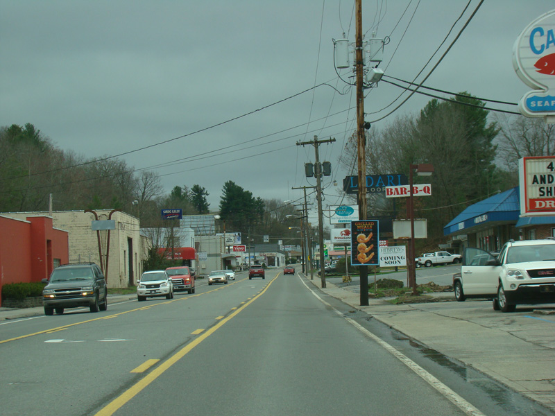
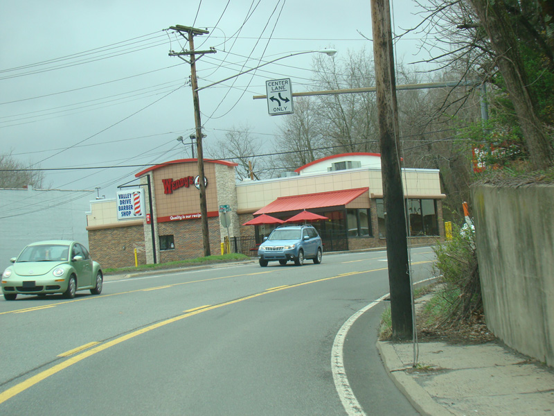
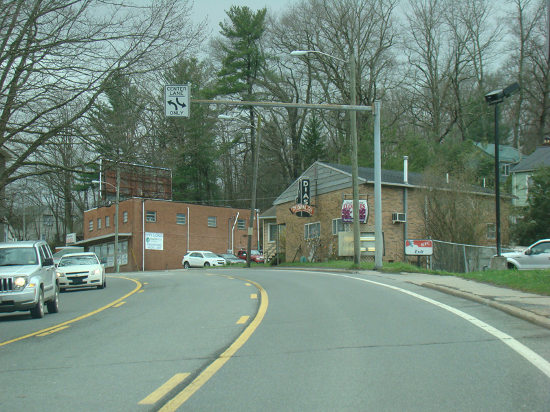
Robert C. Byrd Drive widens to four lanes again. There is a traffic light at Neville Street (WV 3). Turn left to go east or right to go west.
Photos taken April 2017.
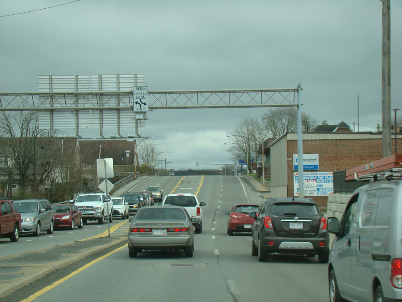
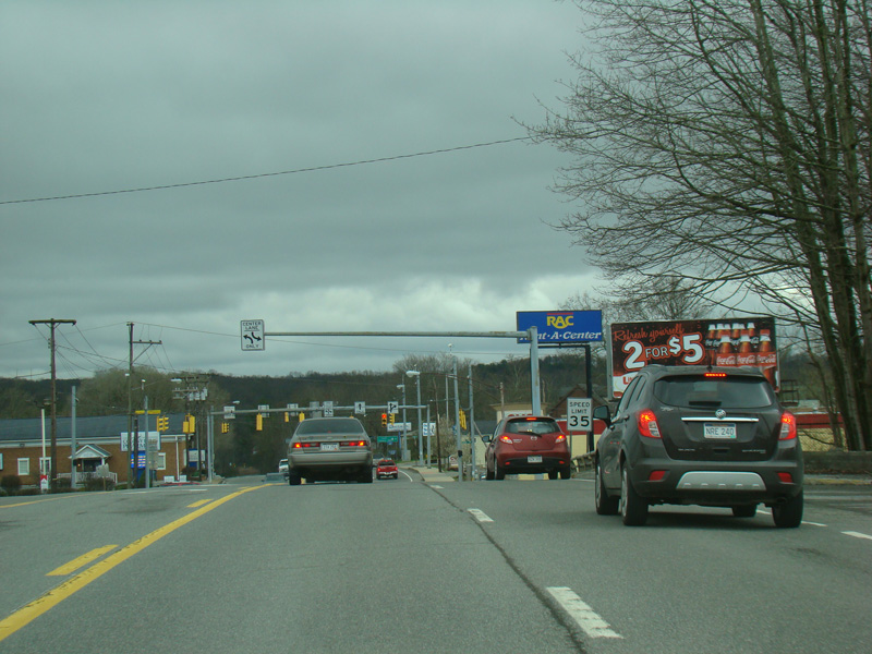

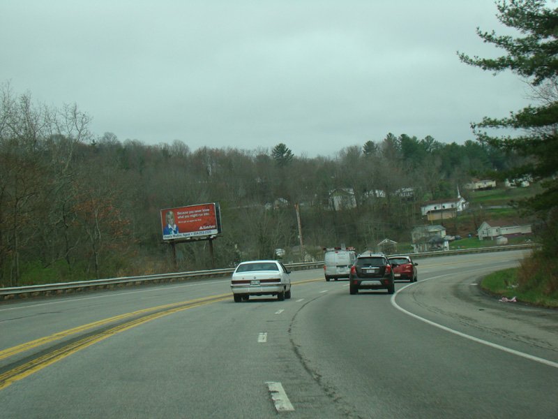
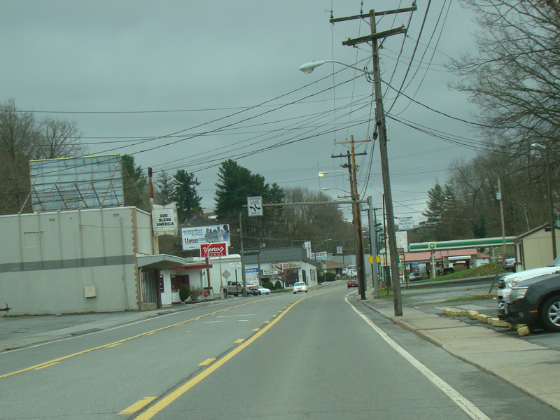
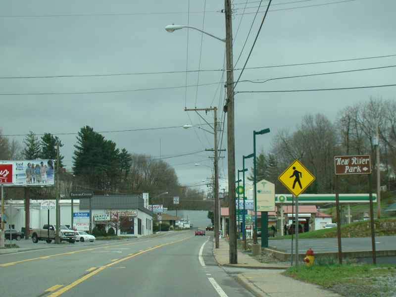
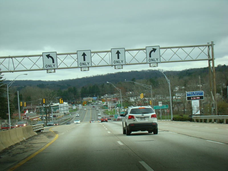
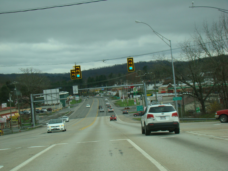
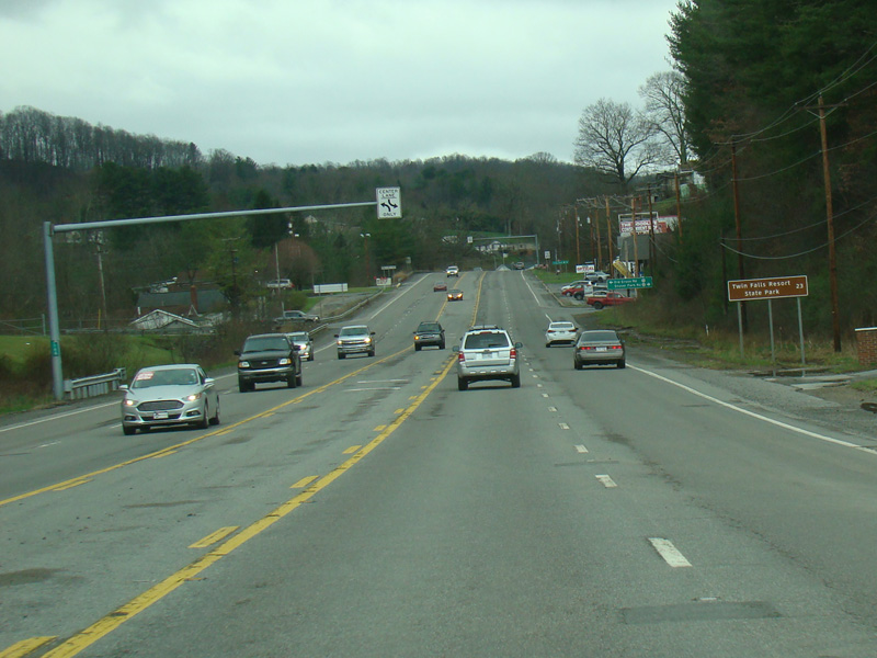
Robert C. Byrd Drive continues south as a four-lane undivided road.
Photos taken April 2017.
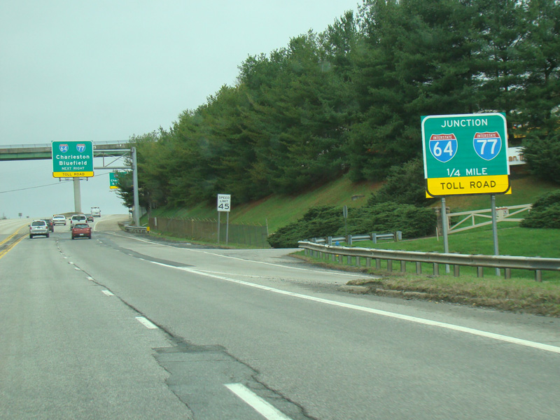
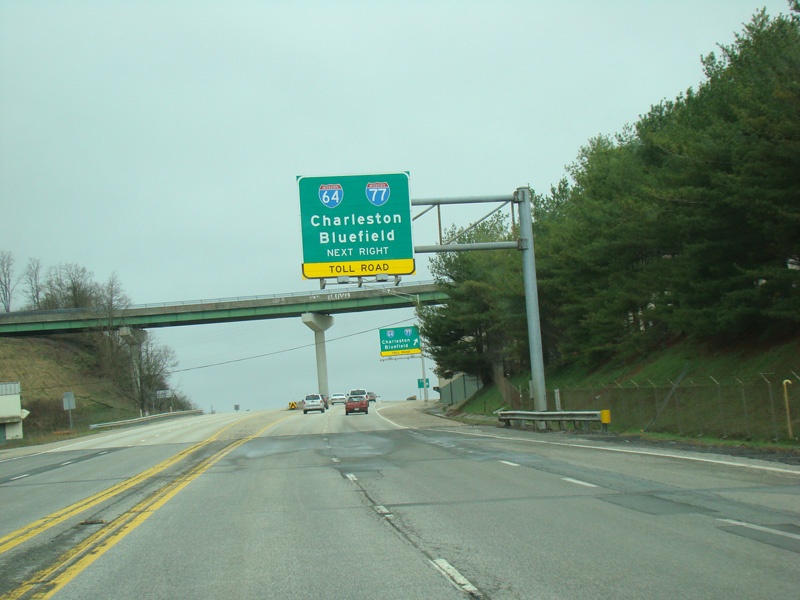
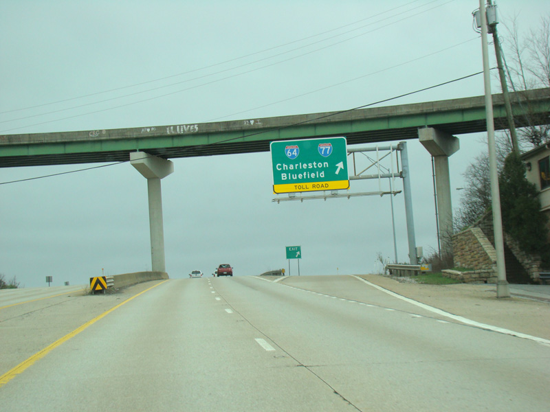
There is an interchange with the West Virginia Turnpike (I-64/I-77).
Photos taken April 2017.
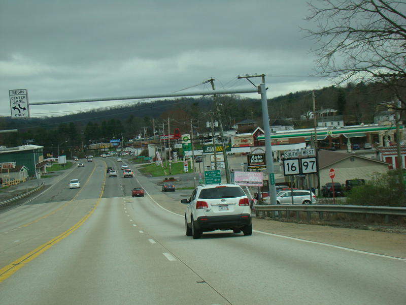
WV 97 begins at the turnpike and is multiplexed with WV 16 along Robert C. Byrd Drive.
Photos taken April 2017.
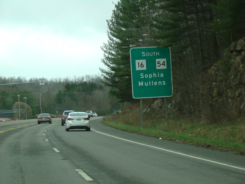
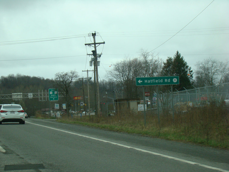
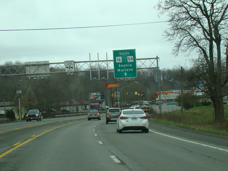
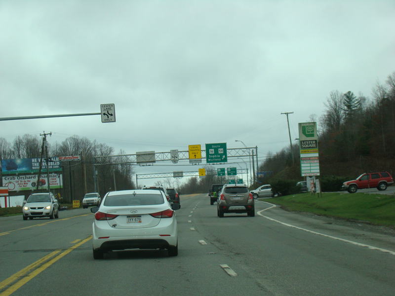
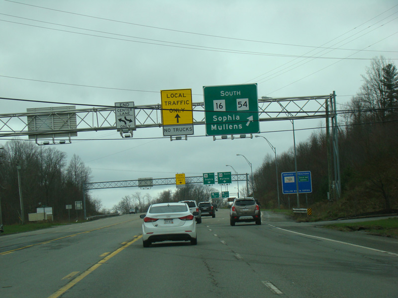
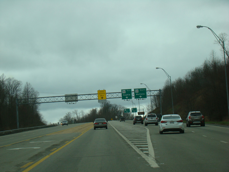
The roadway splits. Bear right to stay on Robert C. Byrd Drive toward Lester Highway (WV 54). The Coalfields Expressway (WV 121) begins straight ahead. There is currently no signage for it, either by name or by number, because it currently ends a few miles from here.
Photos taken April 2017.