Main Street, Highlawn Drive, Spencer Road, Ripley Road, South Lewis Street, West Second Street, East Second Street, Corridor H, North Randolph Avenue, Seneca Trail, Allegheny Drive, Mountaineer Drive, North Main Street, Maple Avenue, Blue Gray Trail
Eastbound Views
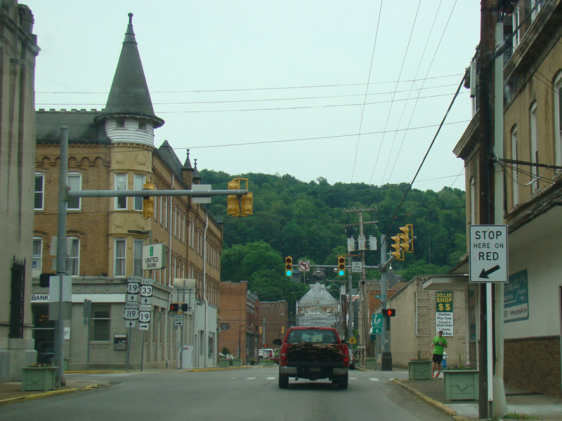
There is a traffic light at Main Avenue (US 19). Turn right to go south.
Photo taken May 2016.
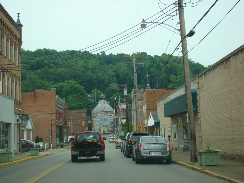
There is a traffic light at Center Avenue (US 19). Turn left to go north and to stay on US 33/US 119.
Photos taken May 2016.
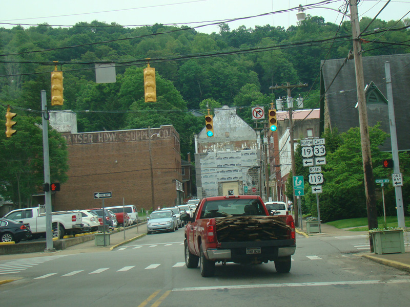
US 33/US 119 is multiplexed with US 19 along Center Avenue for two blocks and then turns west onto East Third Street.
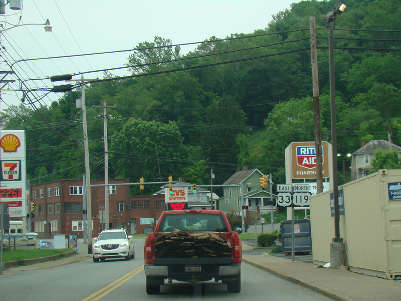
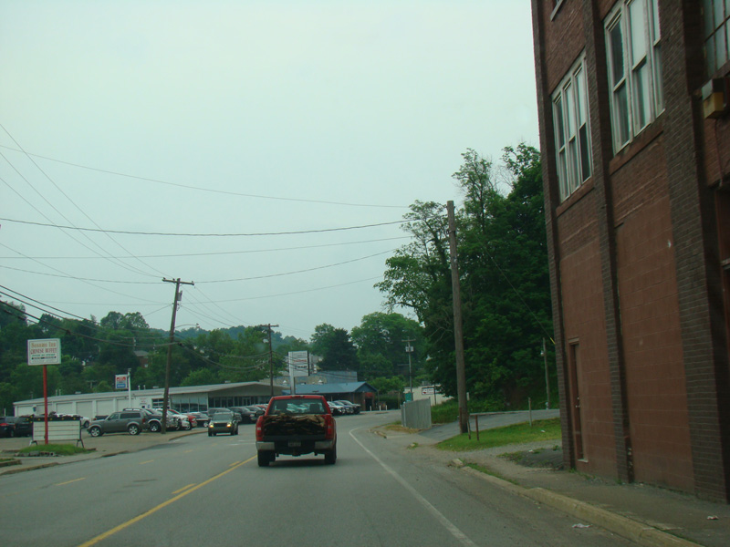
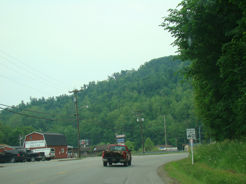
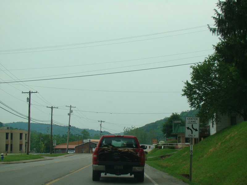
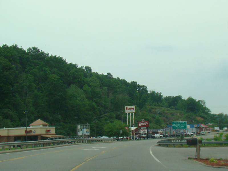
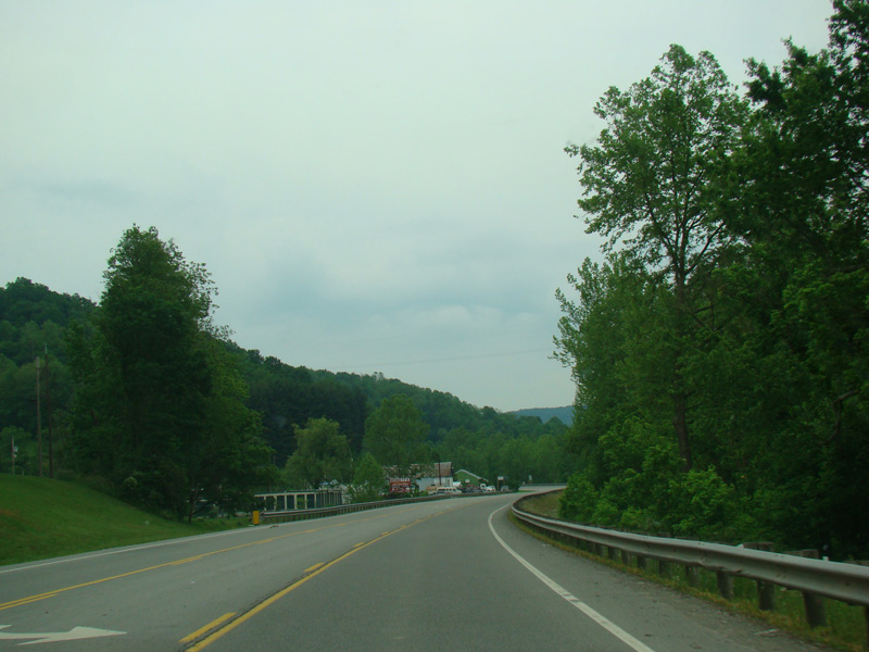
US 33/US 119 runs west through Weston, heading out of town.
Photos taken May 2016.
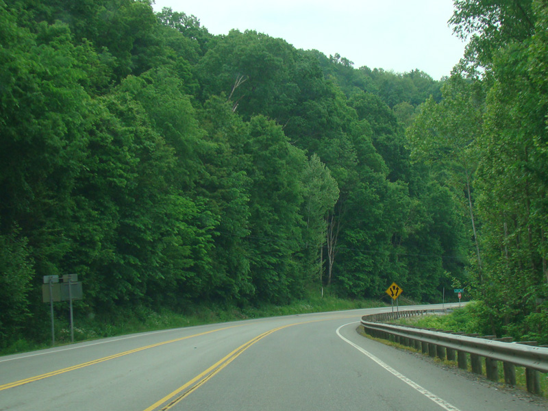
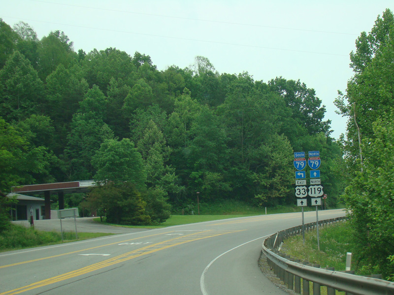
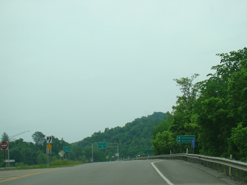
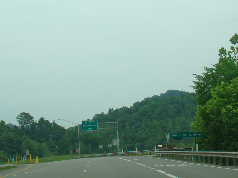
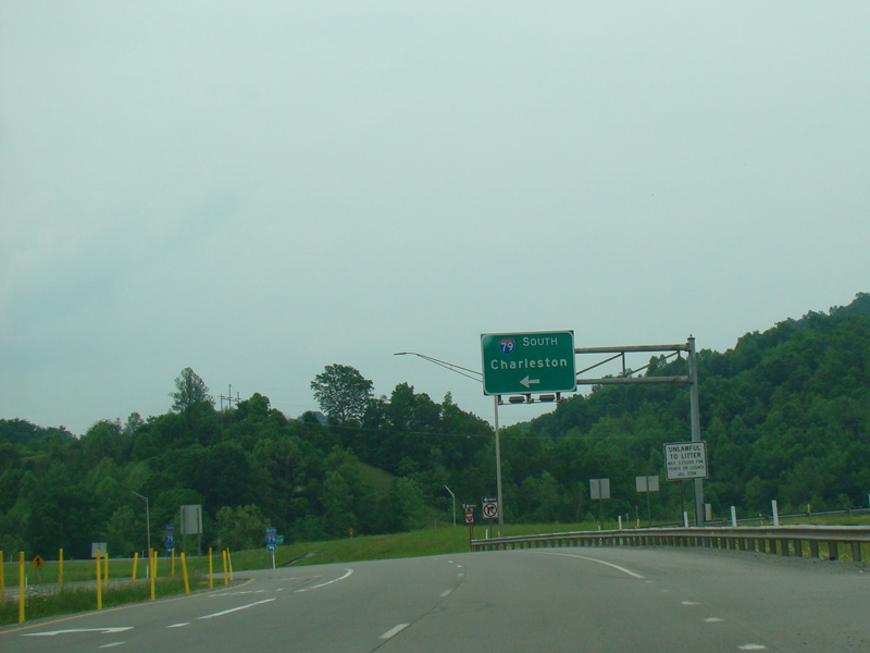
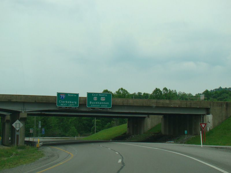
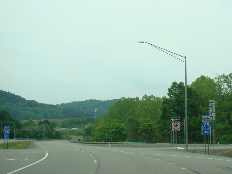
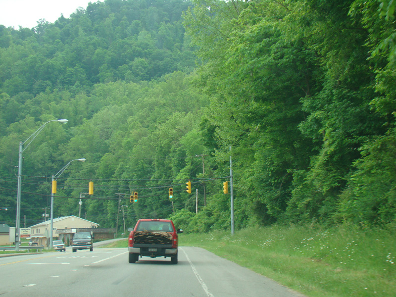
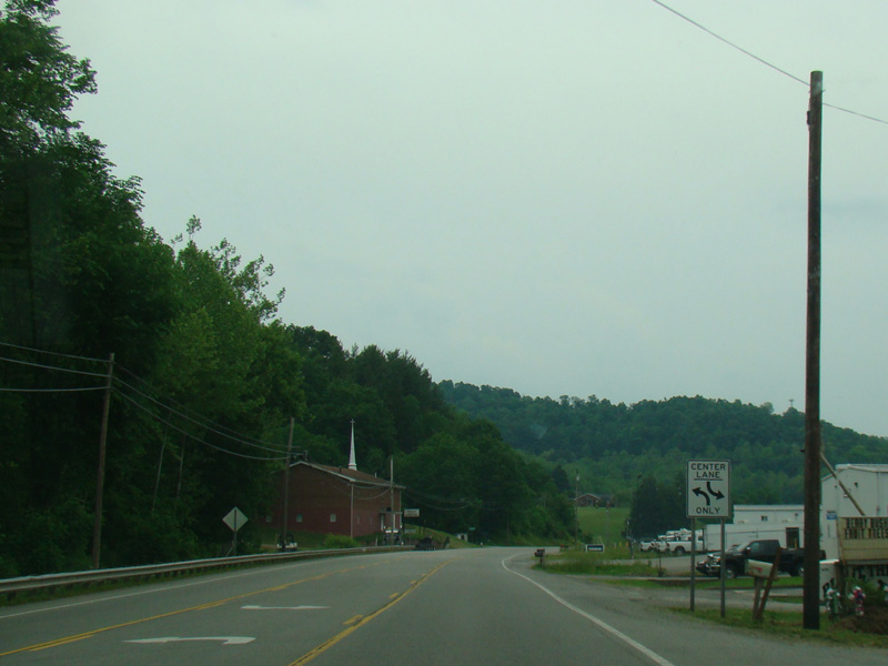
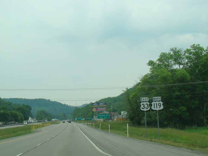
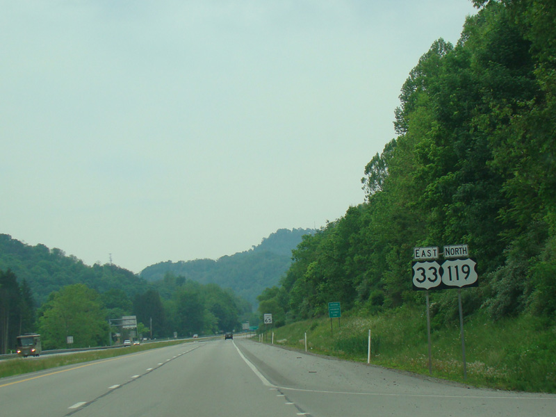
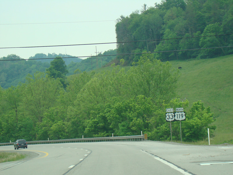
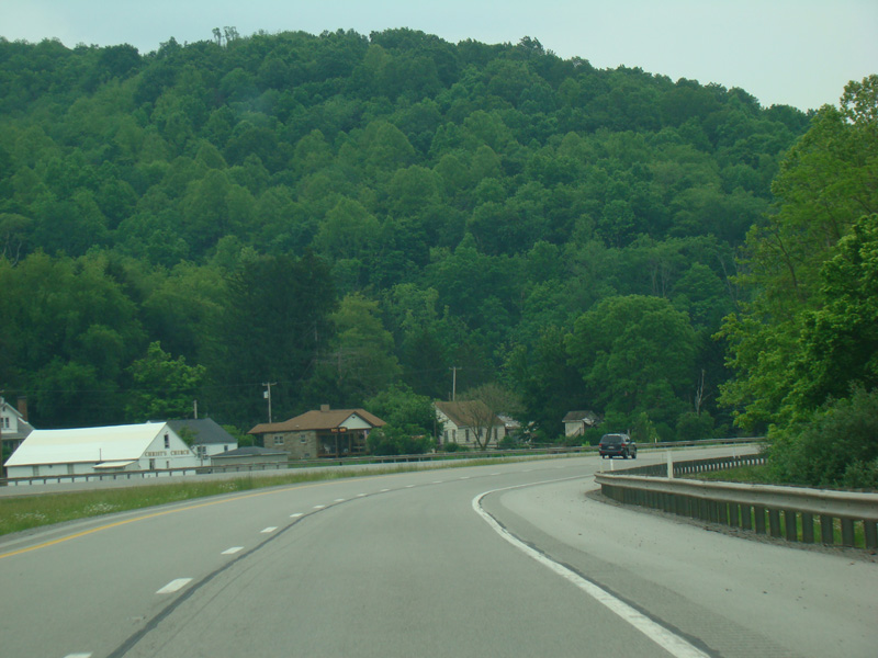
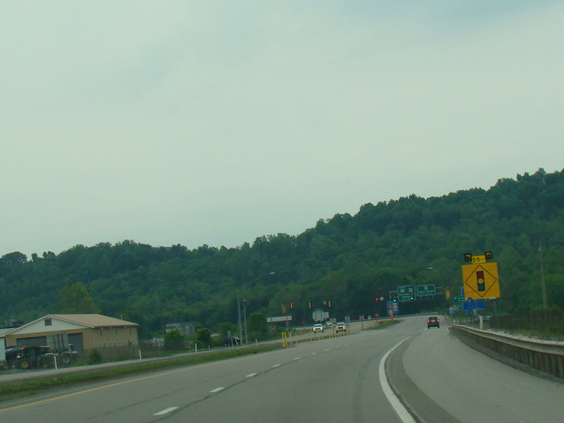
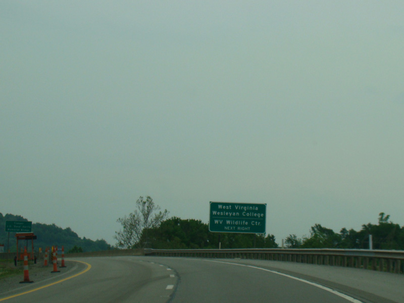
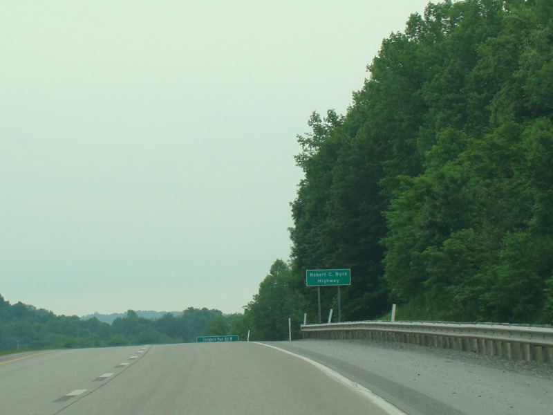
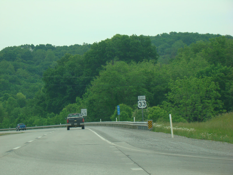
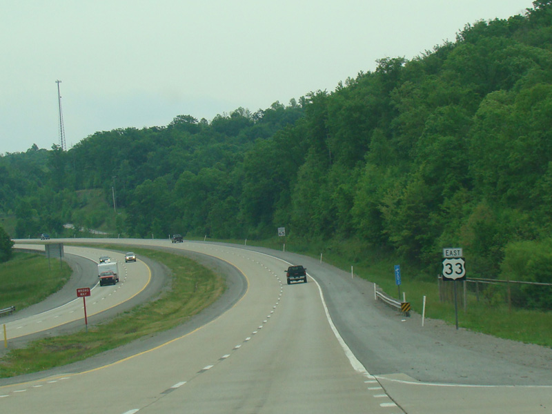
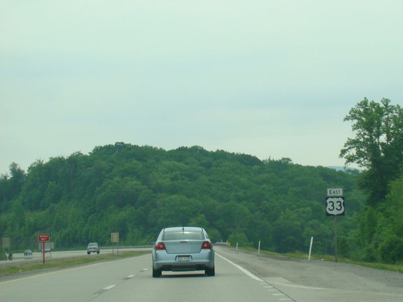
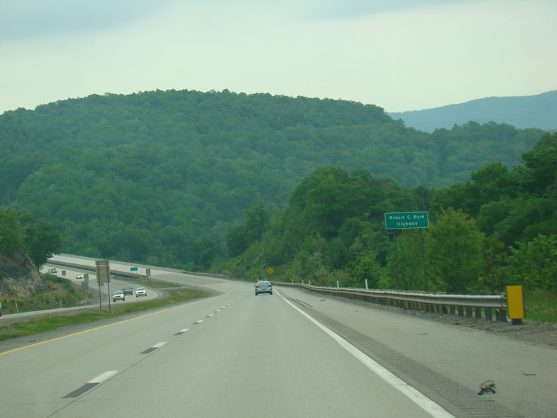
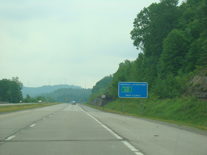
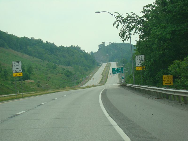
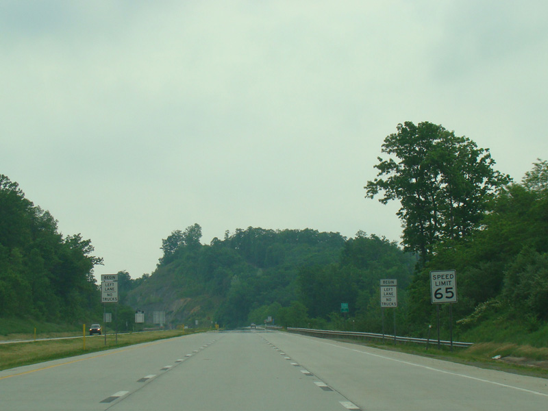
US 33/US 119 widens to become a large four-lane divided highway called Corridor H. There is an interchange with I-79.
Photos taken May 2016.
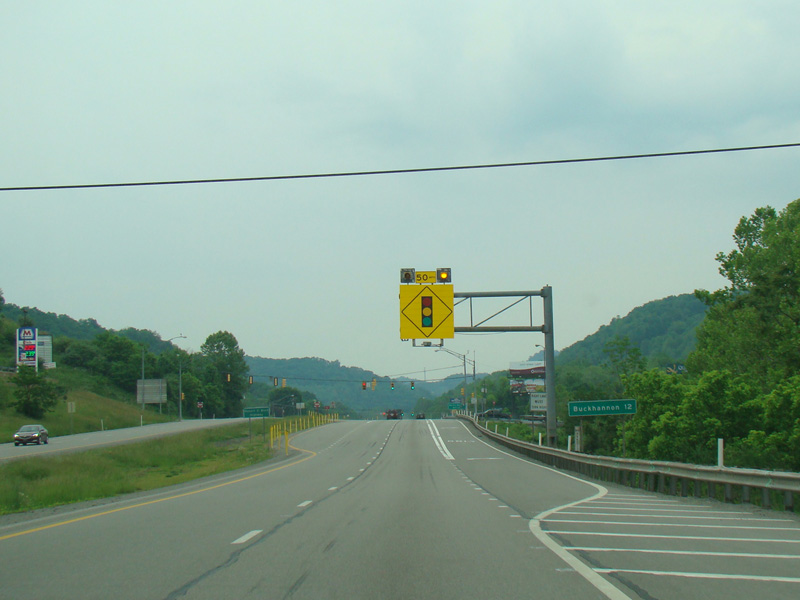
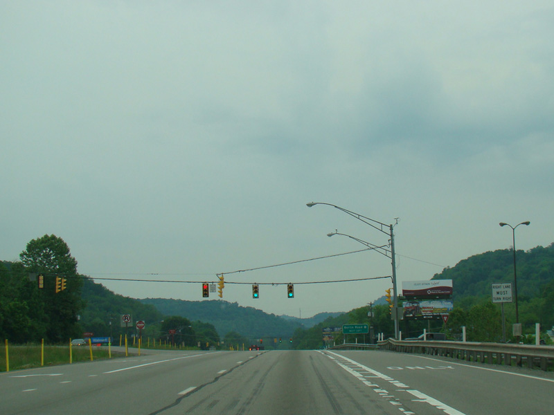
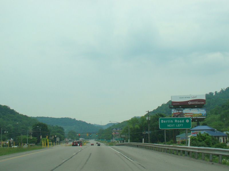
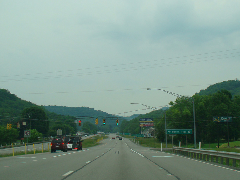
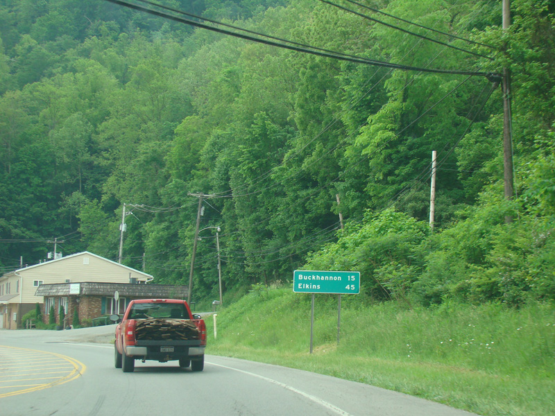
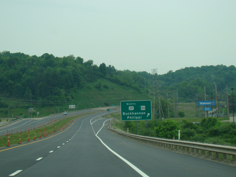
At the beginning of Corridor H, there are a couple of traffic lights. Berlin Road (CR 13) begins on the left at the second light.
Photos taken May 2016.
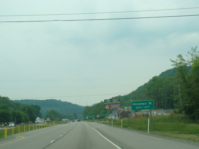
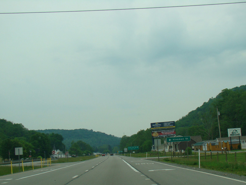
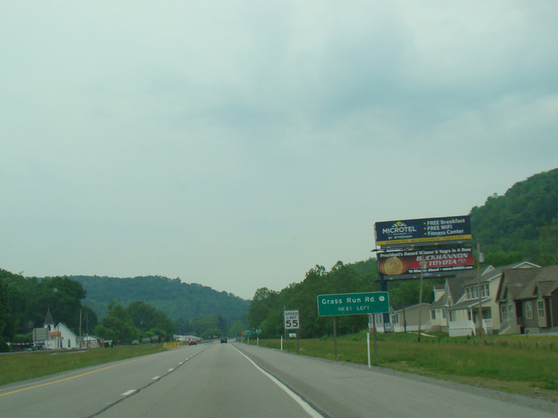
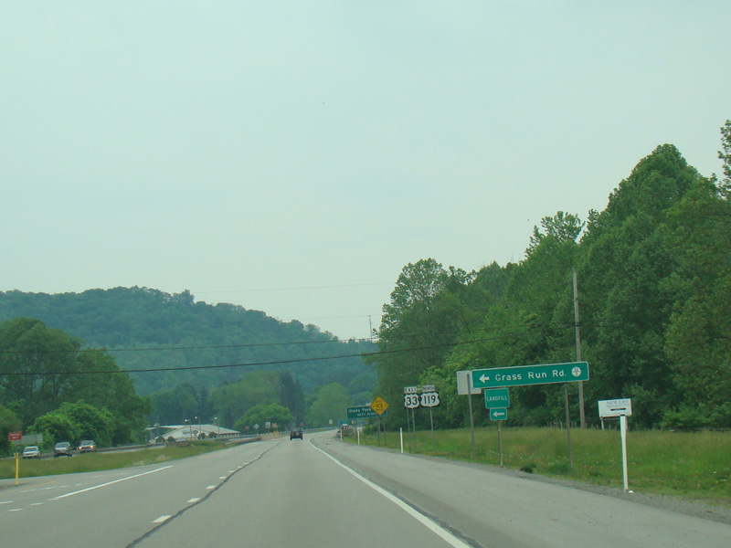
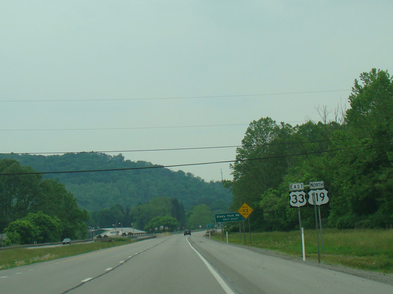
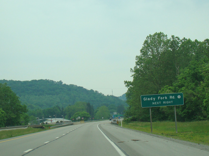

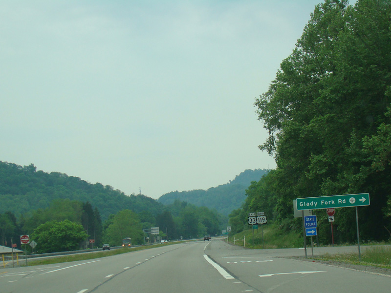
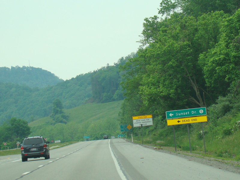
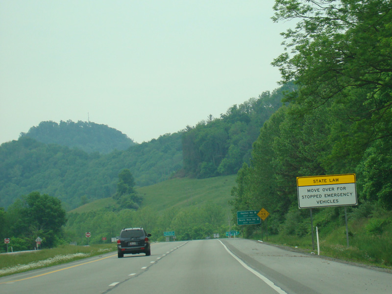
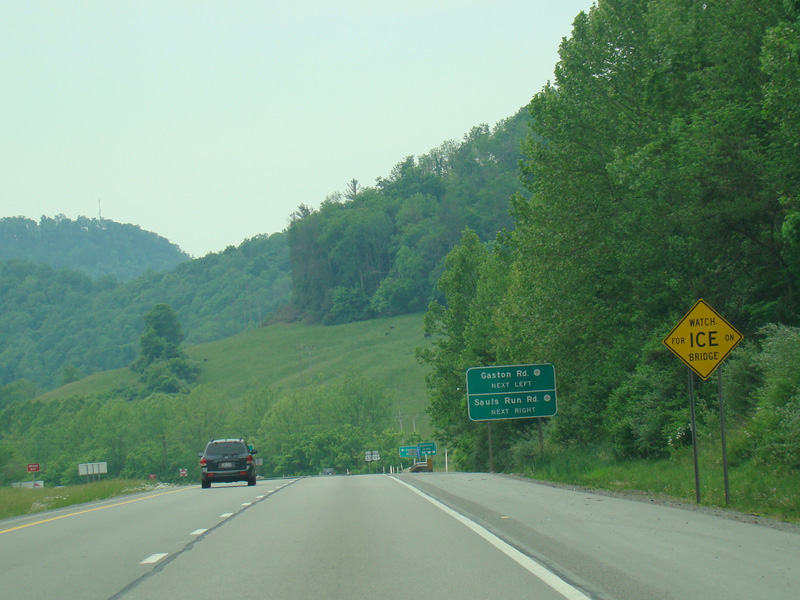
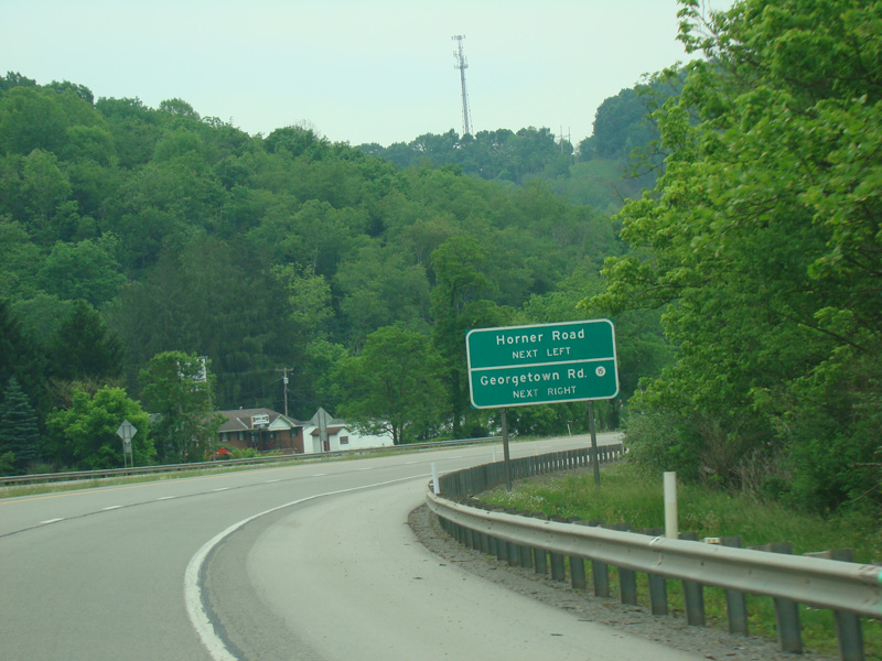
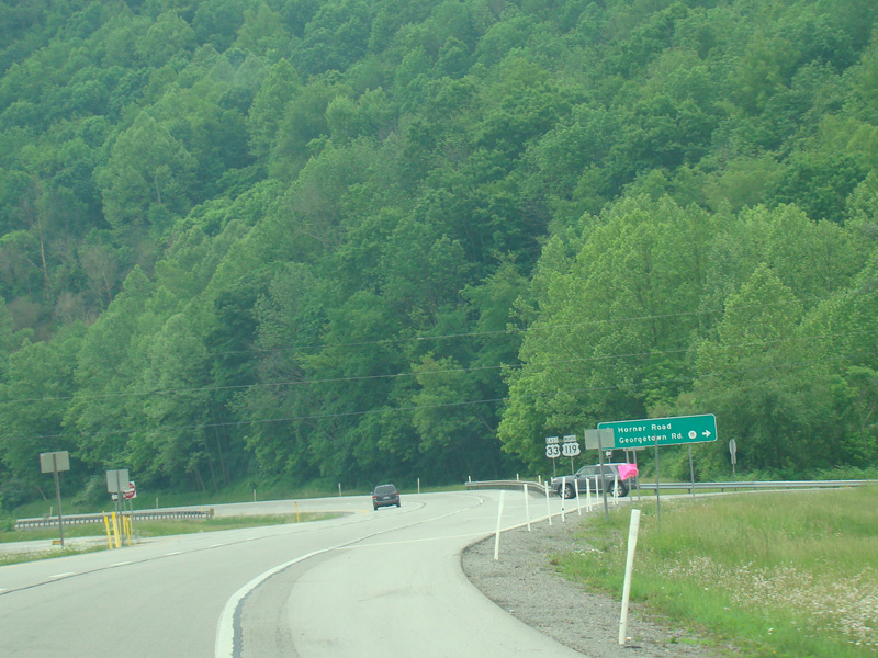
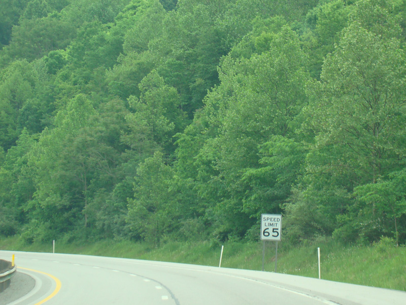
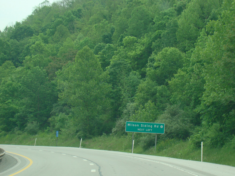
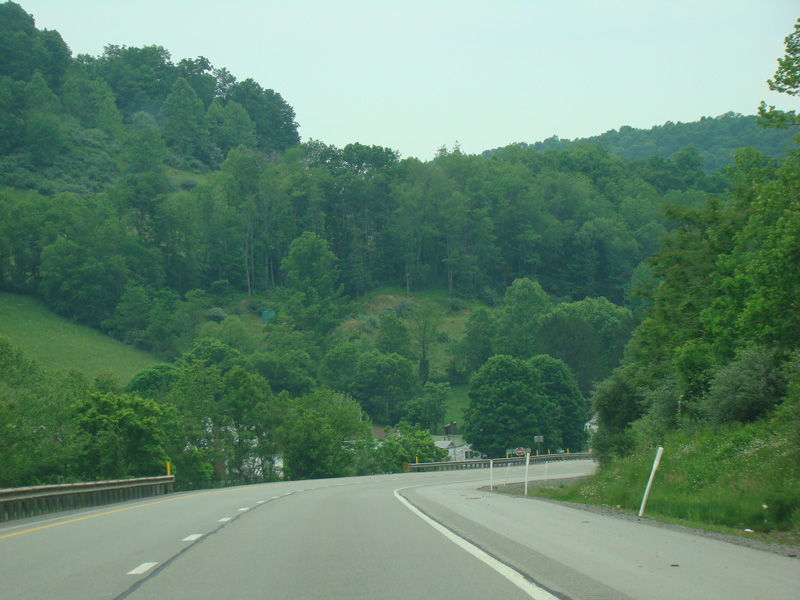
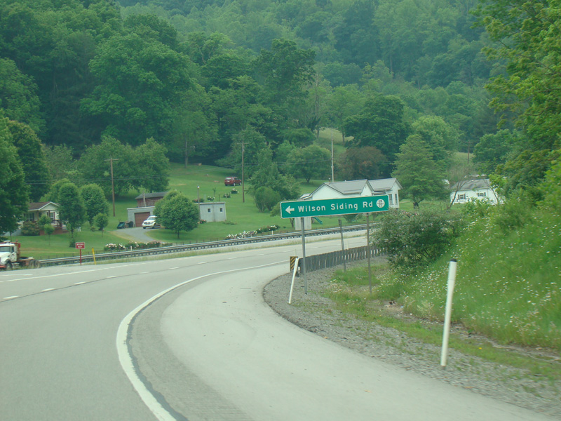
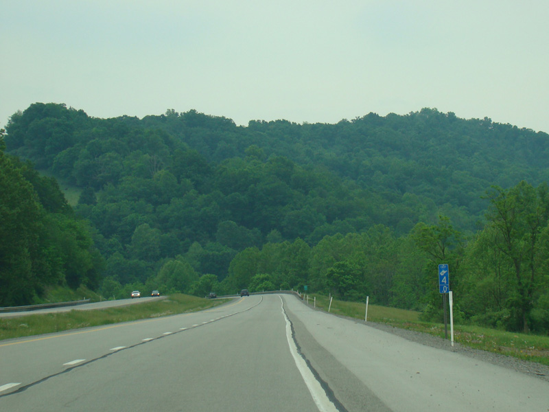
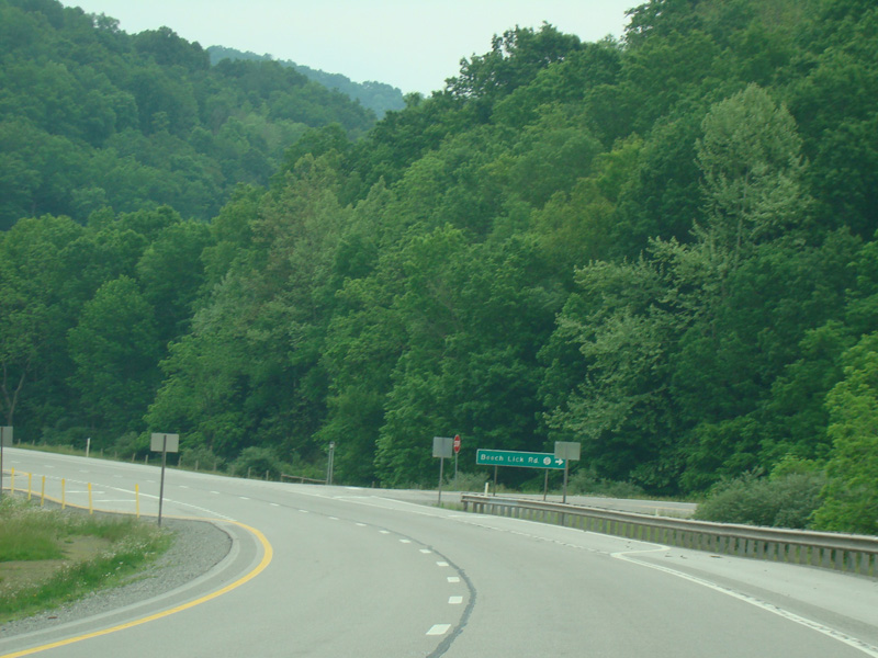
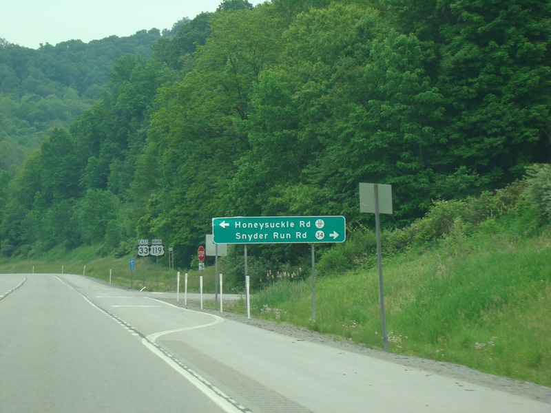
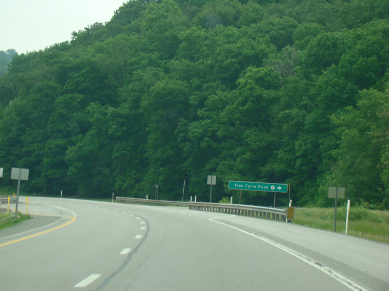
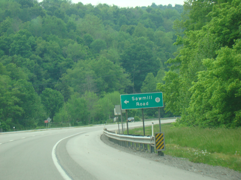
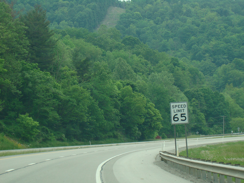
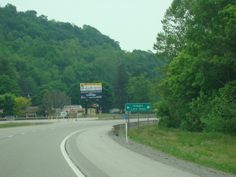
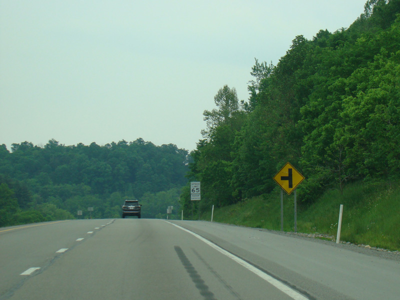
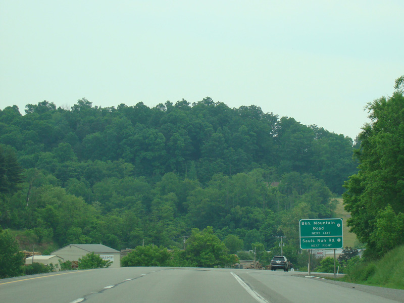
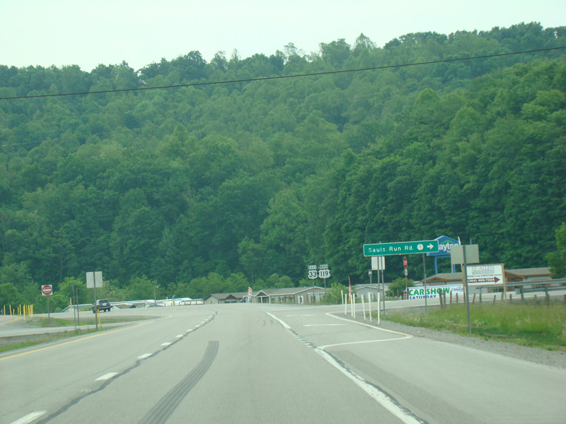
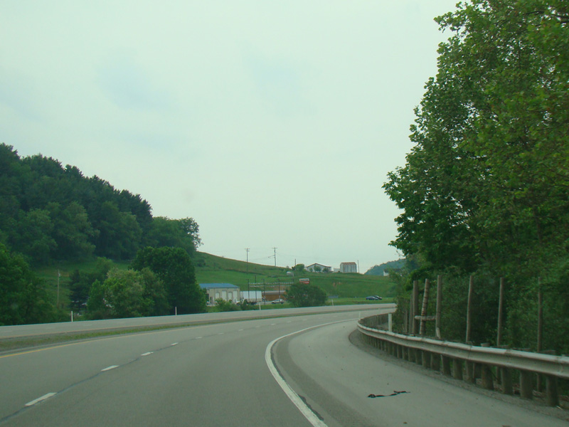
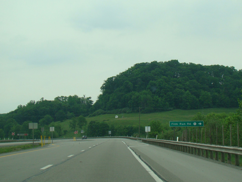
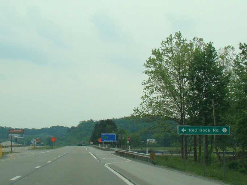
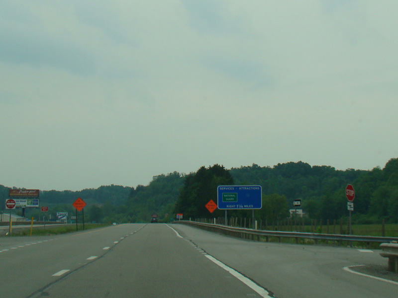
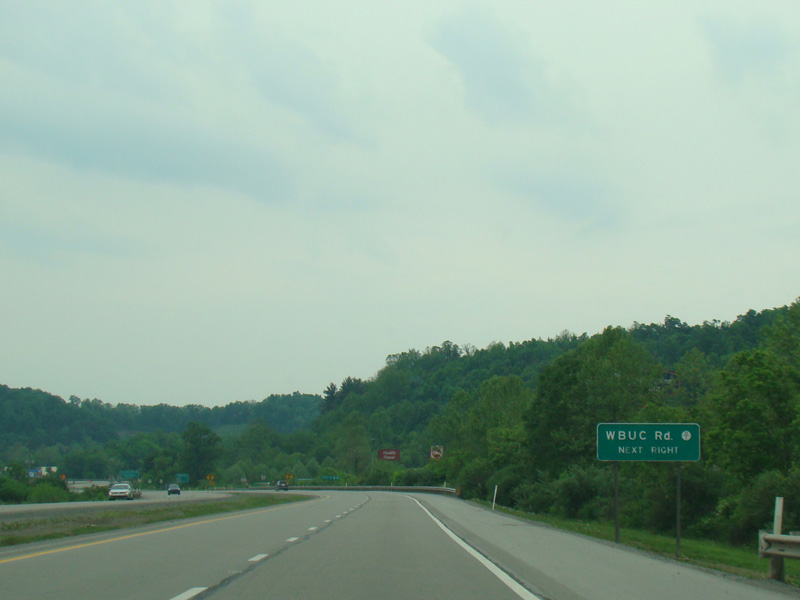
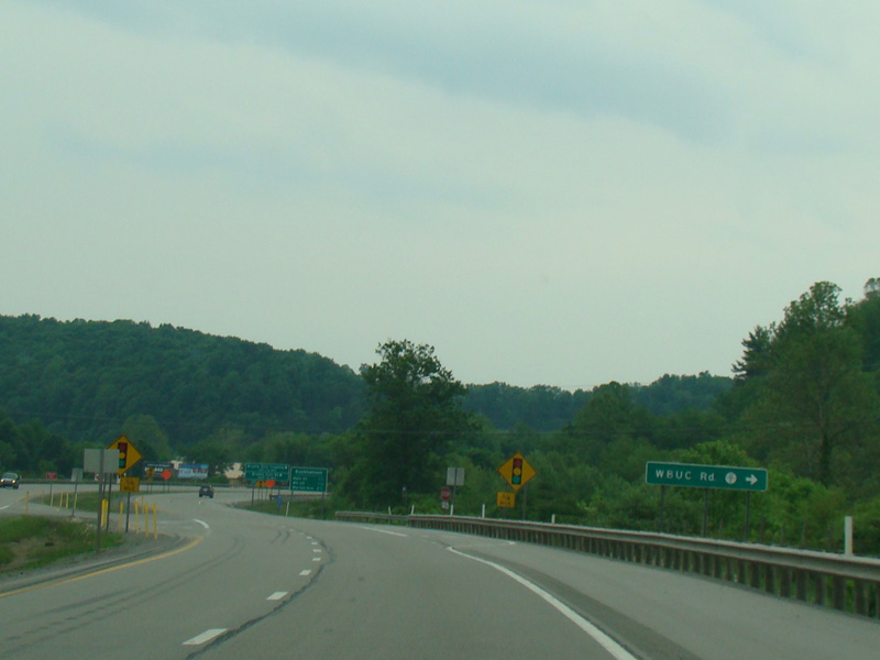
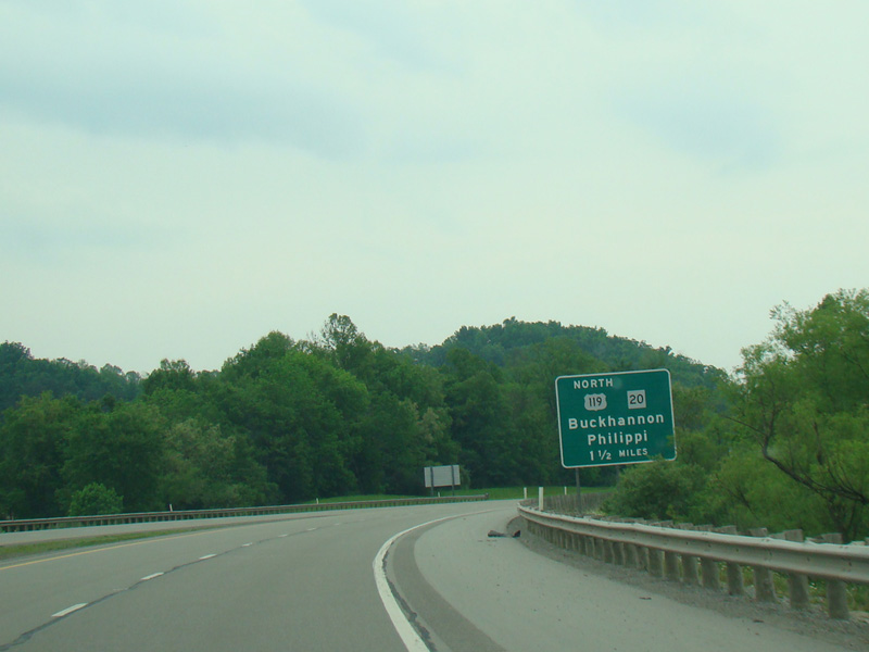
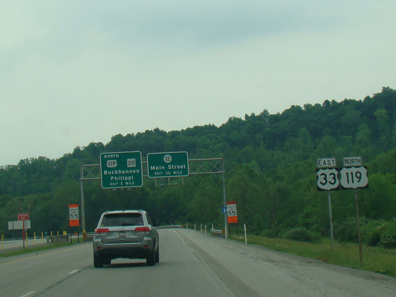
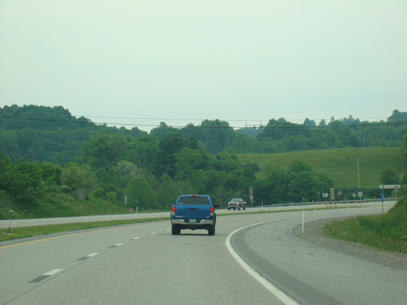
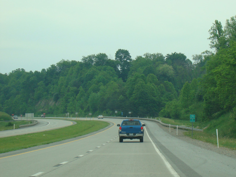
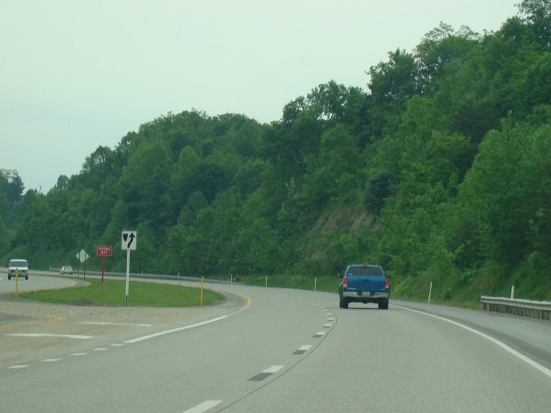
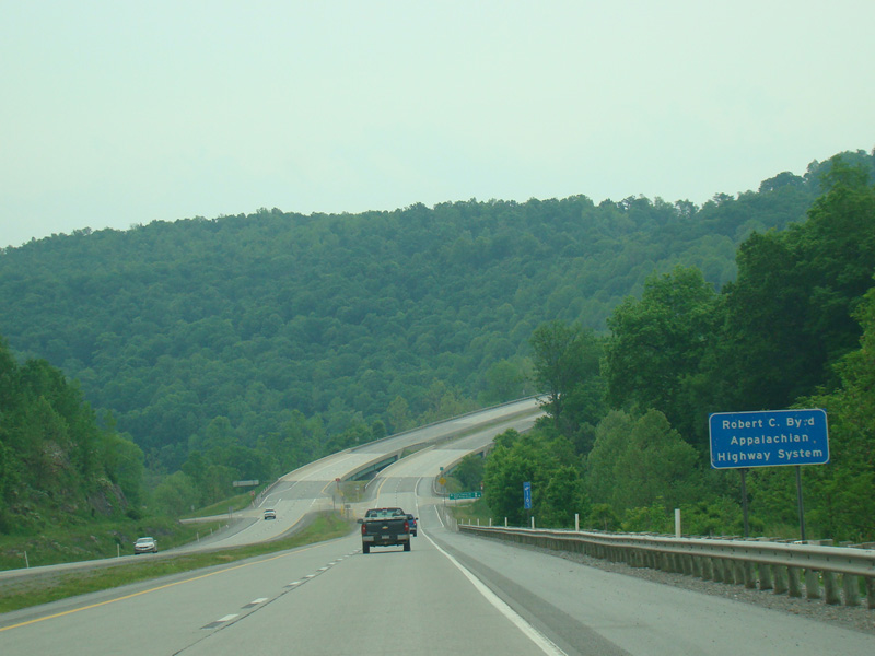
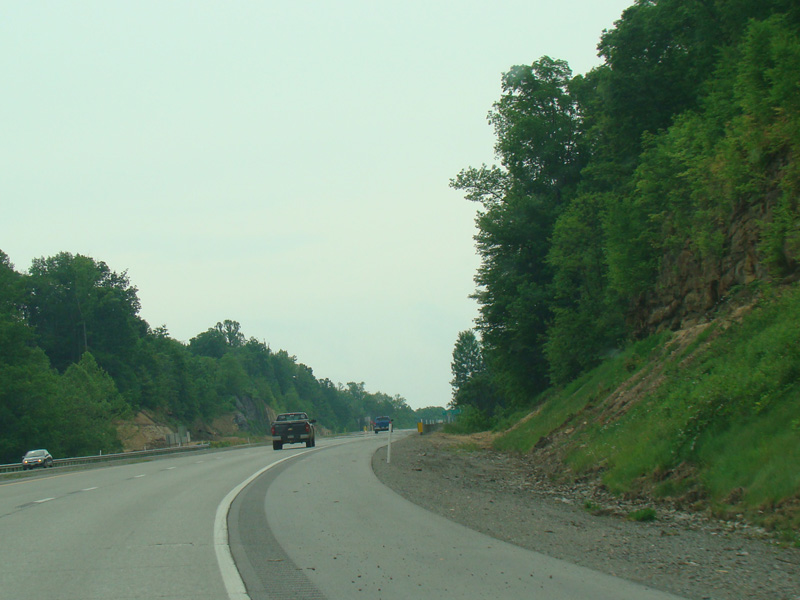
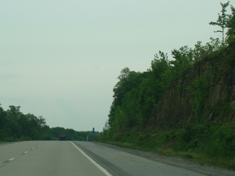
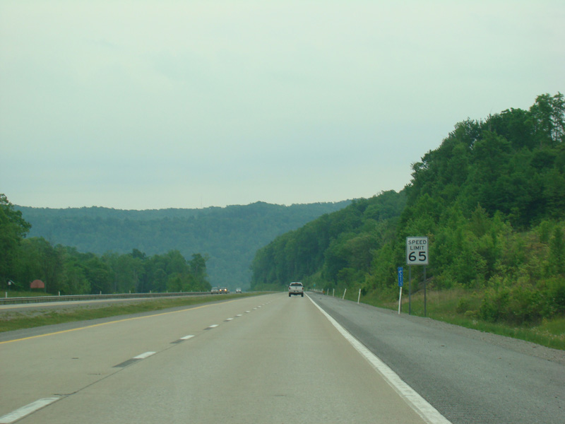
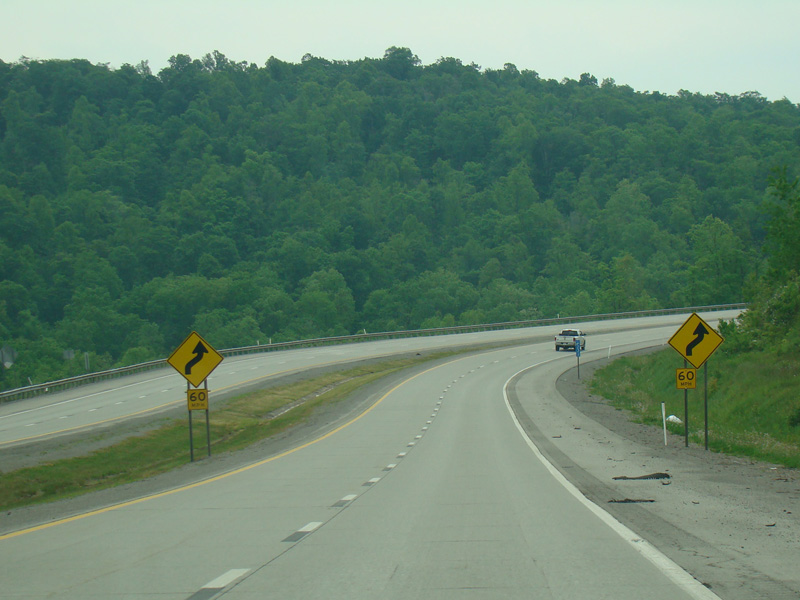
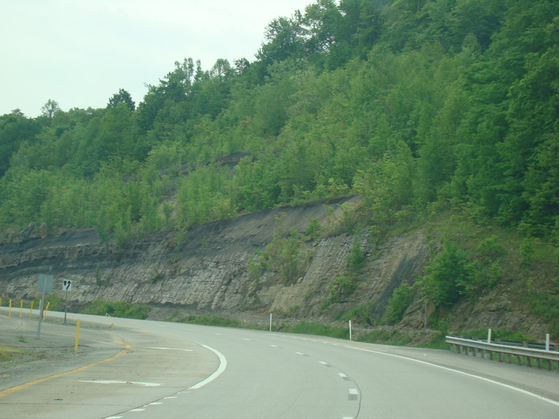
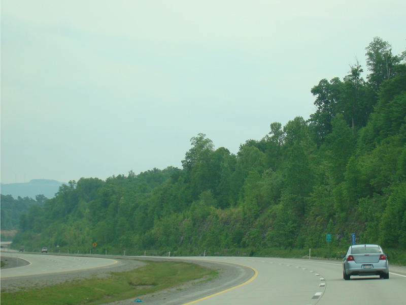
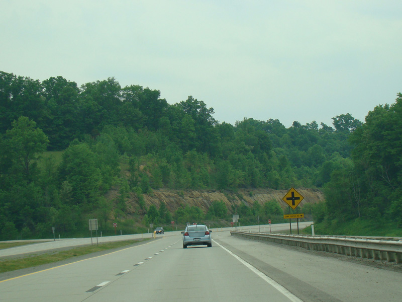
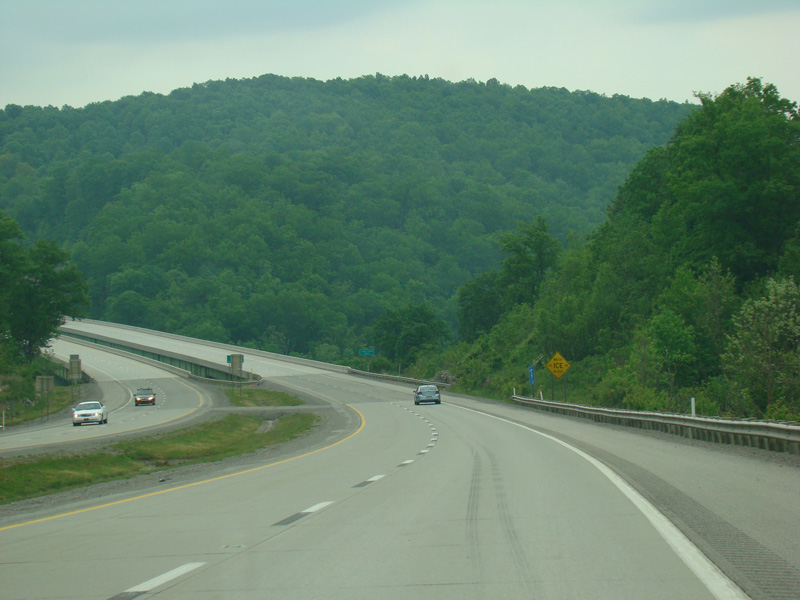
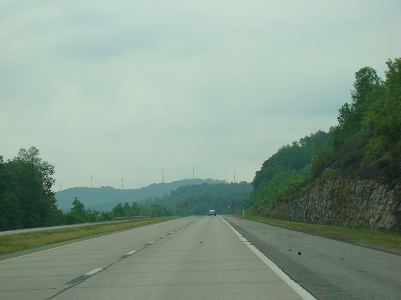
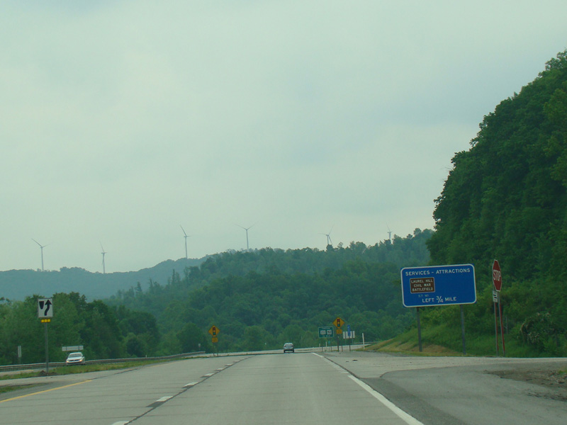
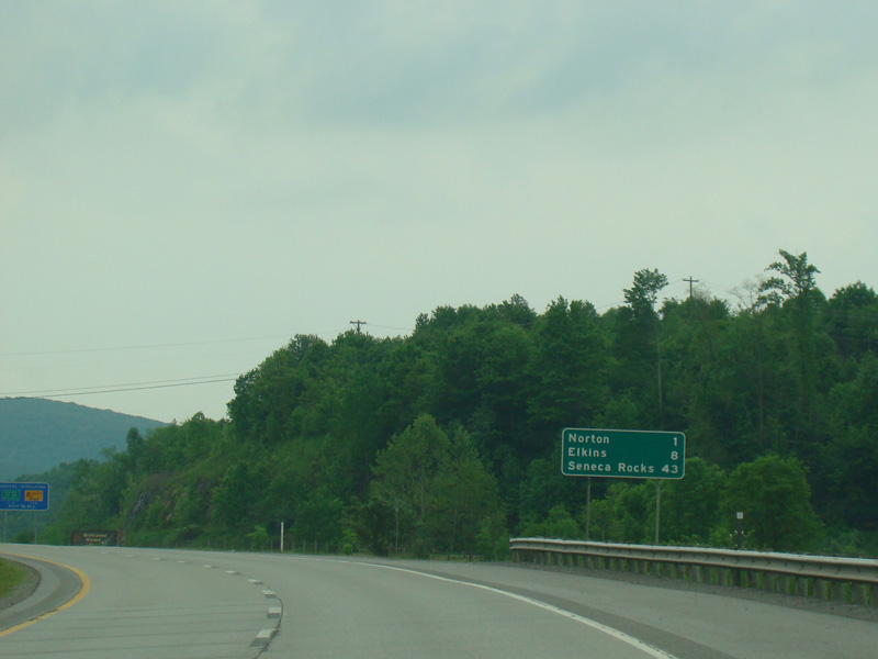
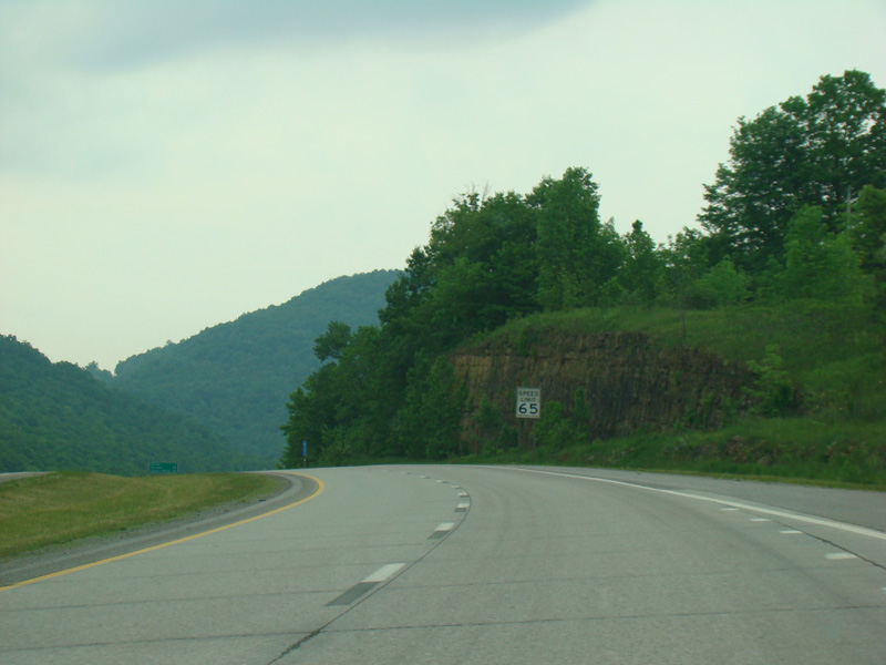
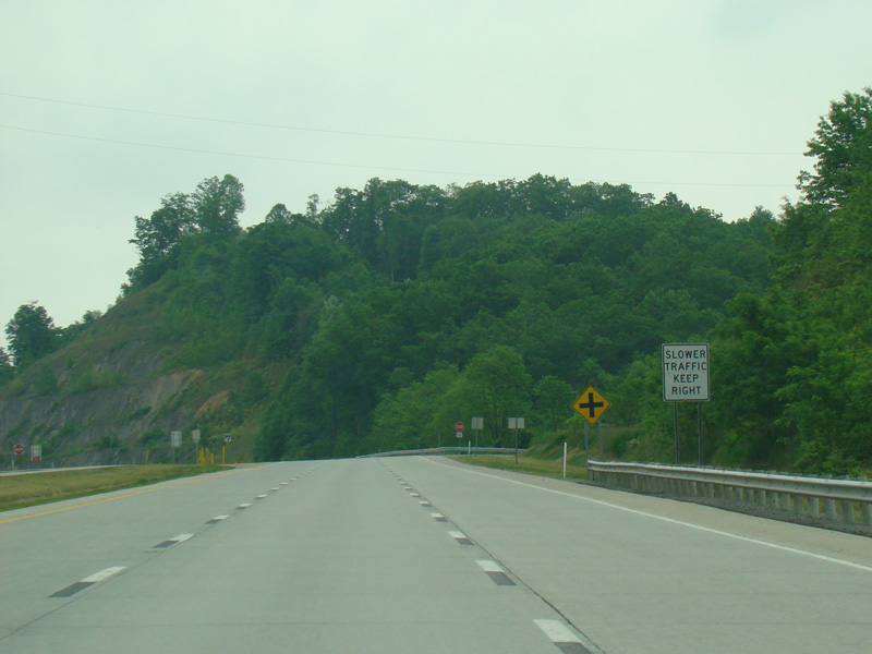
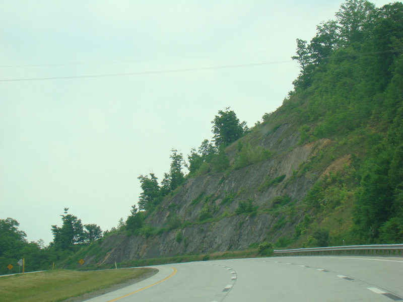
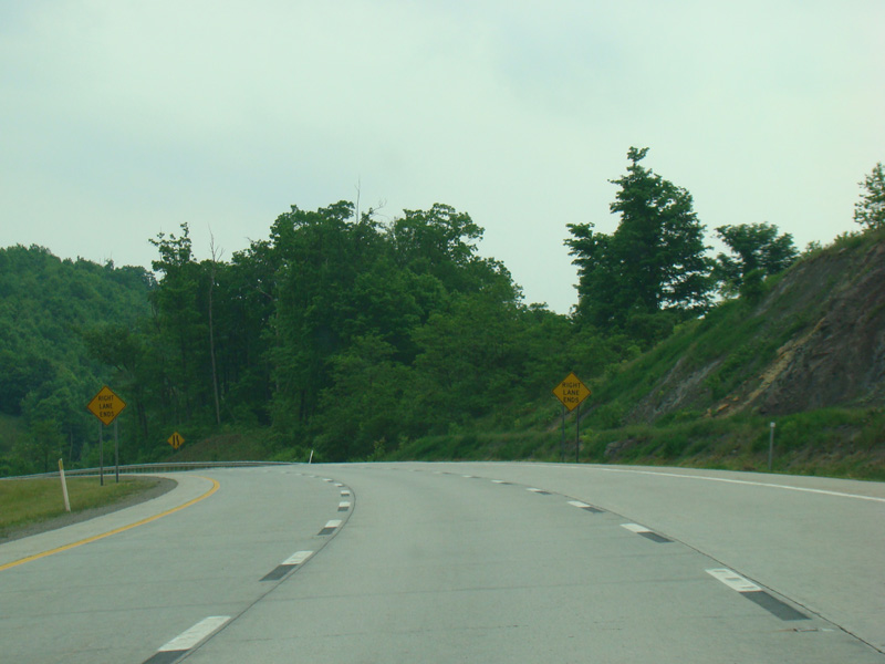
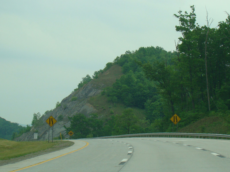
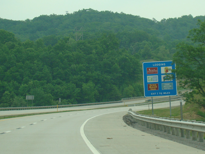
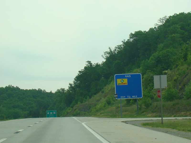
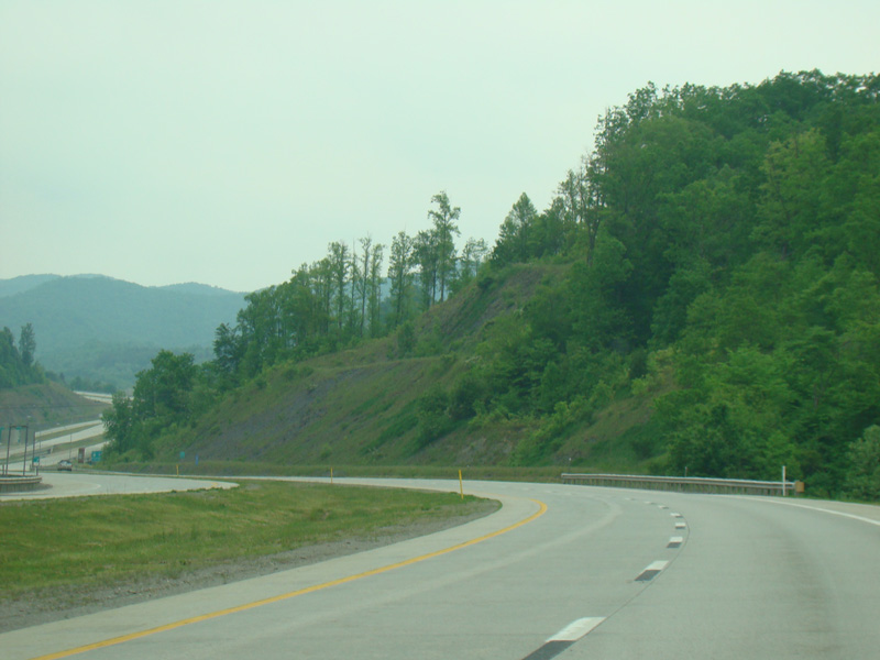
Corridor H runs west as a four-lane divided highway. There are at-grade intersections at Hinzman Street, Grass Run Road (CR 33/3), Glady Fork Road (CR 119/18), Sunset Drive (CR 119/33), Gaston Road (CR 33/3), Sauls Run Road (CR 119/21), Horner Road, Georgetown Road (CR 15), Wilson Siding Road (CR 119/22), Beech Lick Road (CR 119/24), Honeysuckle Road (CR 33/17), Snyder Run Road (CR 34), Tree Farm Road (CR 119/30), Sawmill Road (CR 33/15), Hidden Lane Road (CR 33/4), Broken Mountain Road (CR 12), Sauls Run Road (CR 5/1), Fink Run Road (CR 5/5), Red Rock Road (CR 5/6), and WBUC Road (CR 33/2).
Photos taken May 2016.
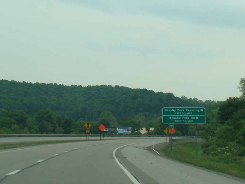
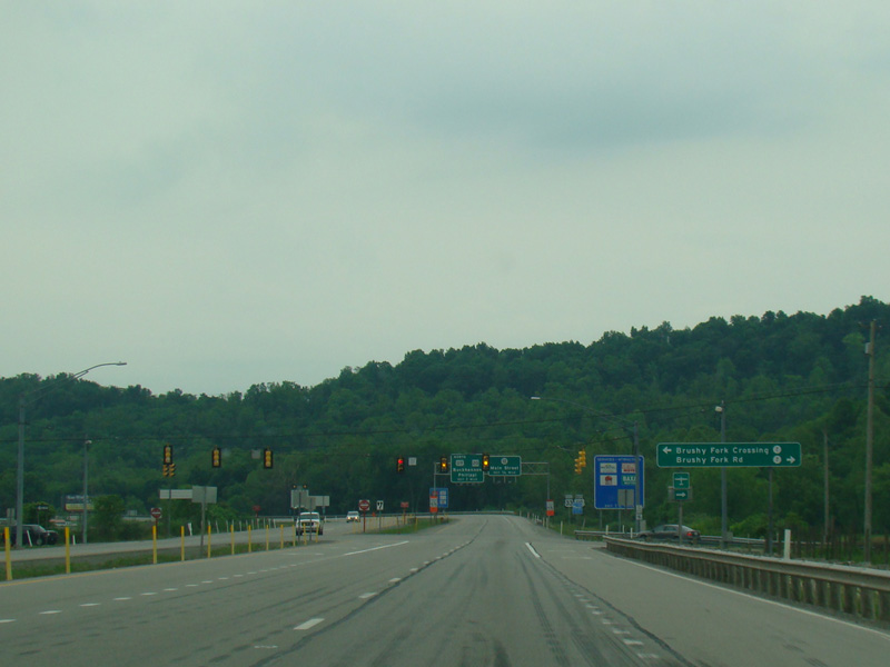
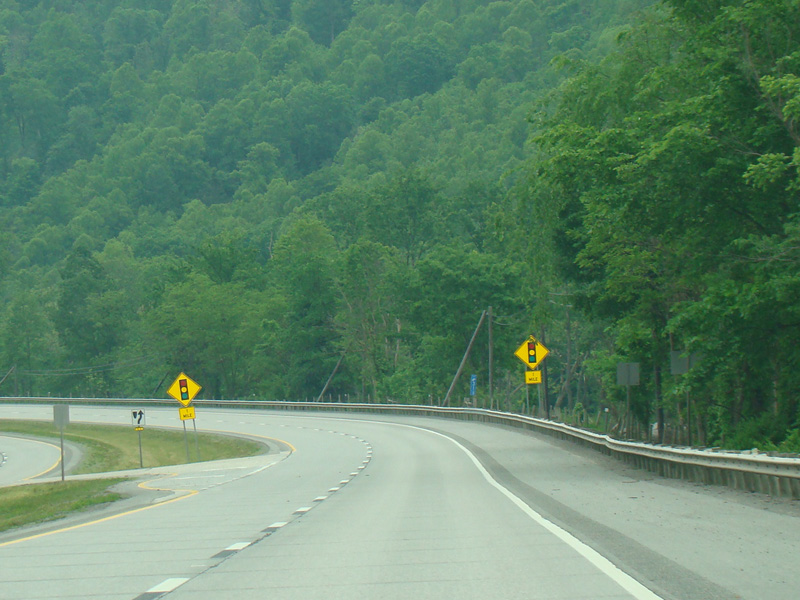
There is a traffic light at Brushy Fork Road (CR 7).
Photos taken May 2016.
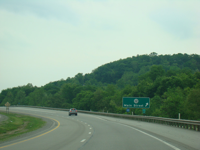
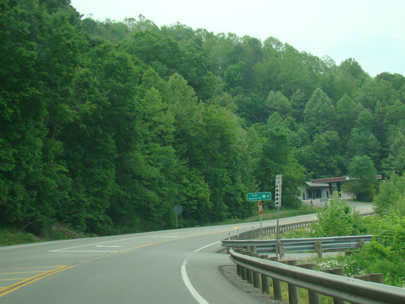
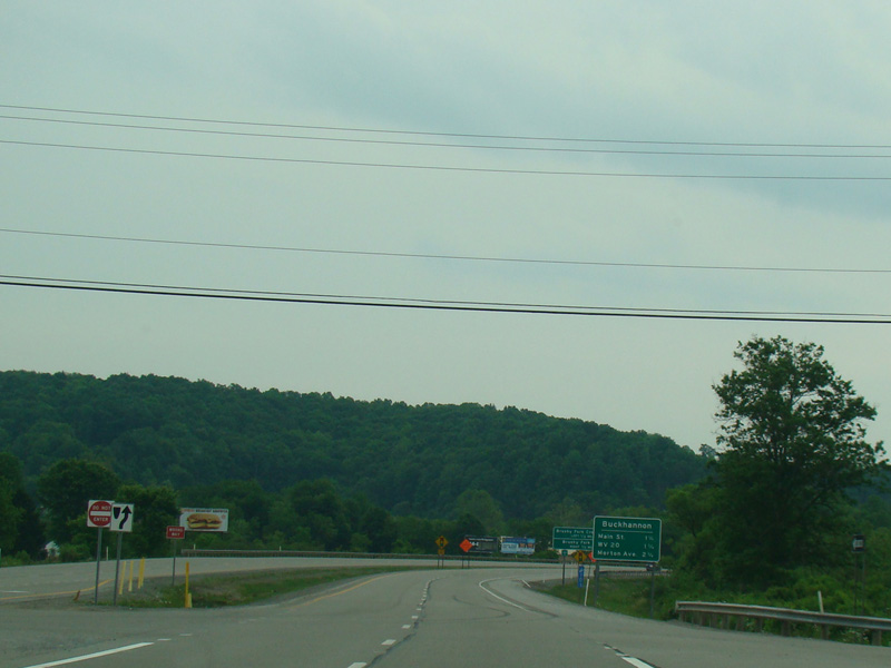
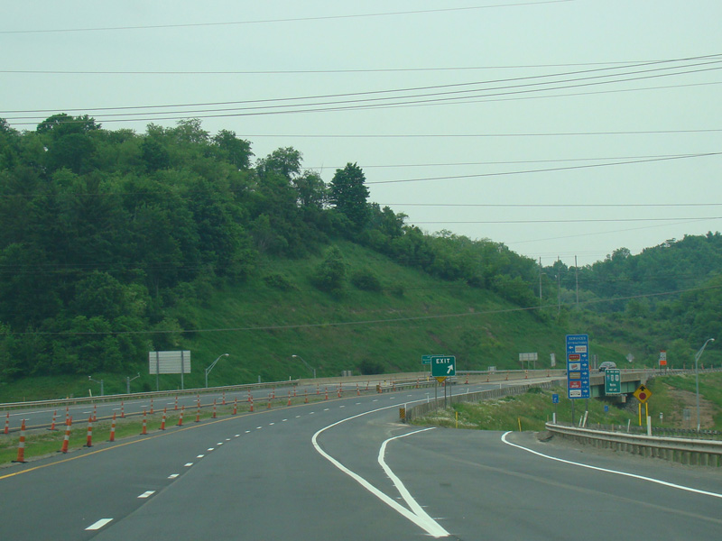
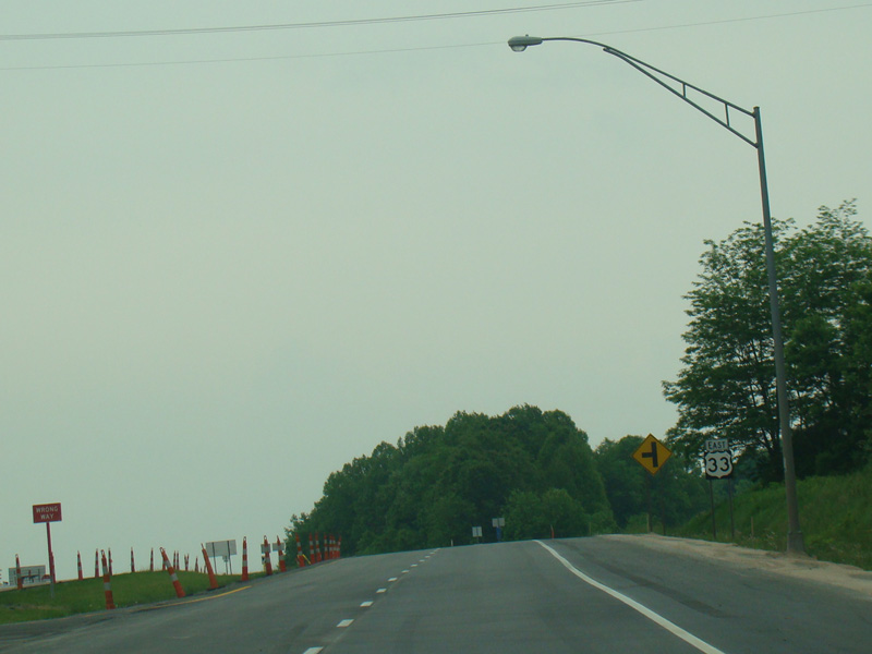
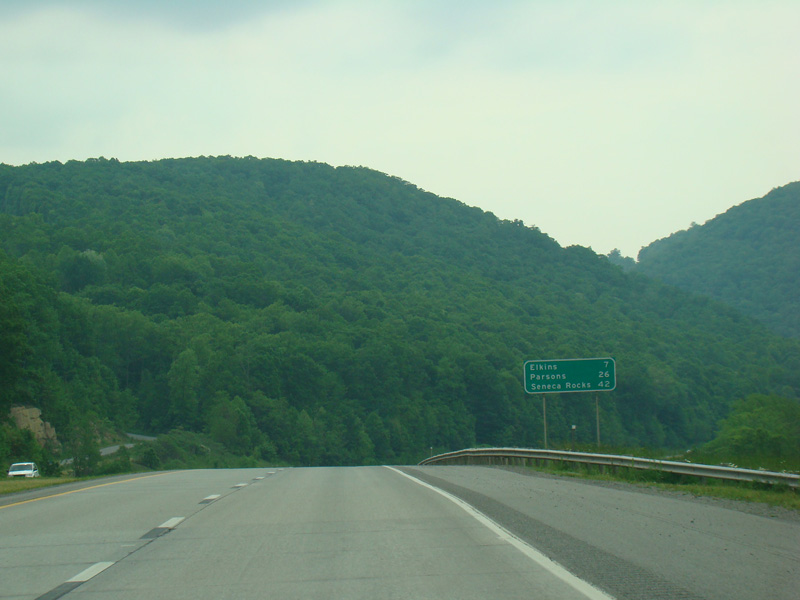
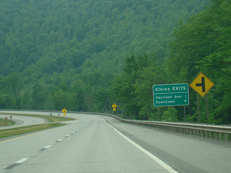
There is an exit for Main Street (CR 12).
Photos taken May 2016.
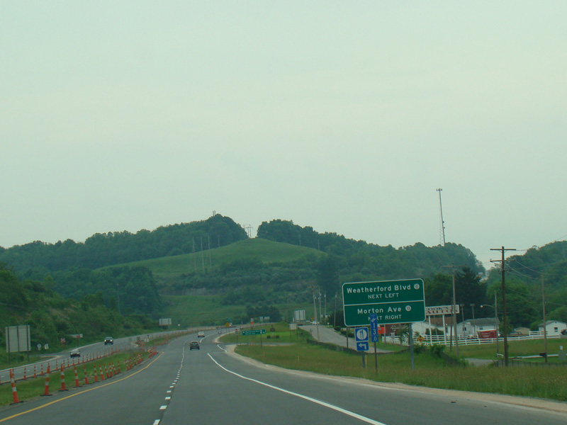
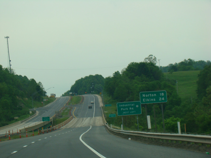
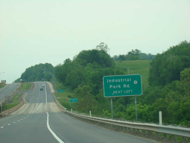
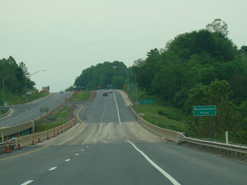
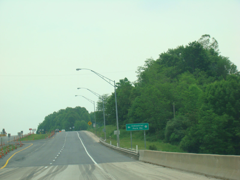
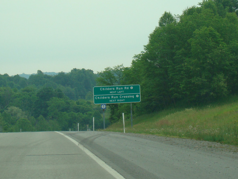
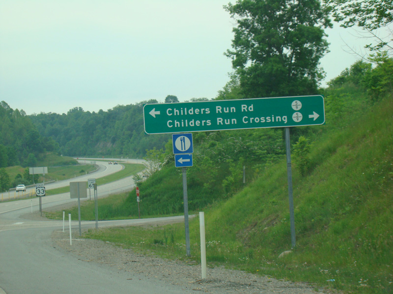
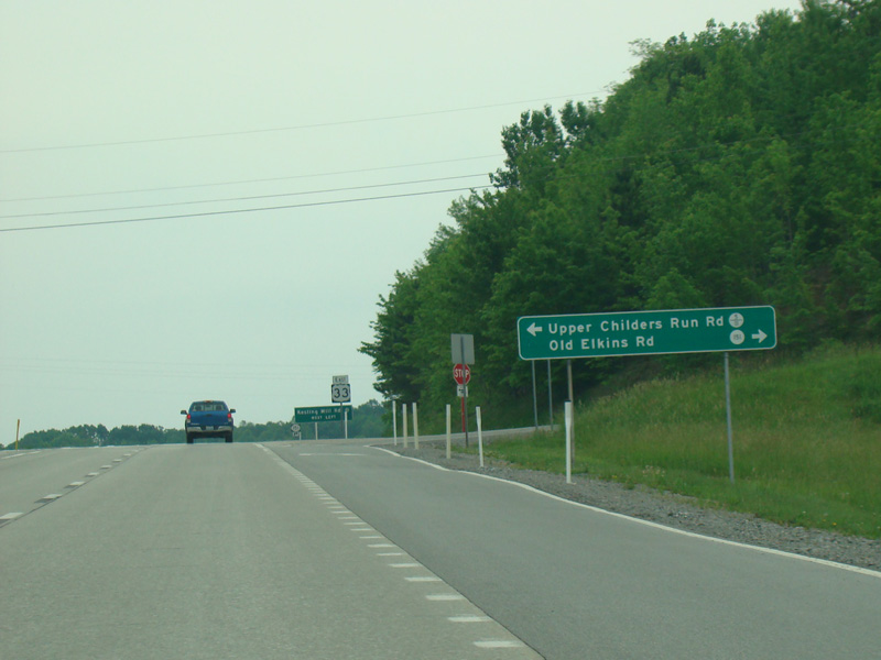
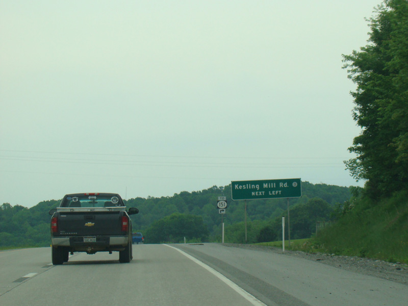
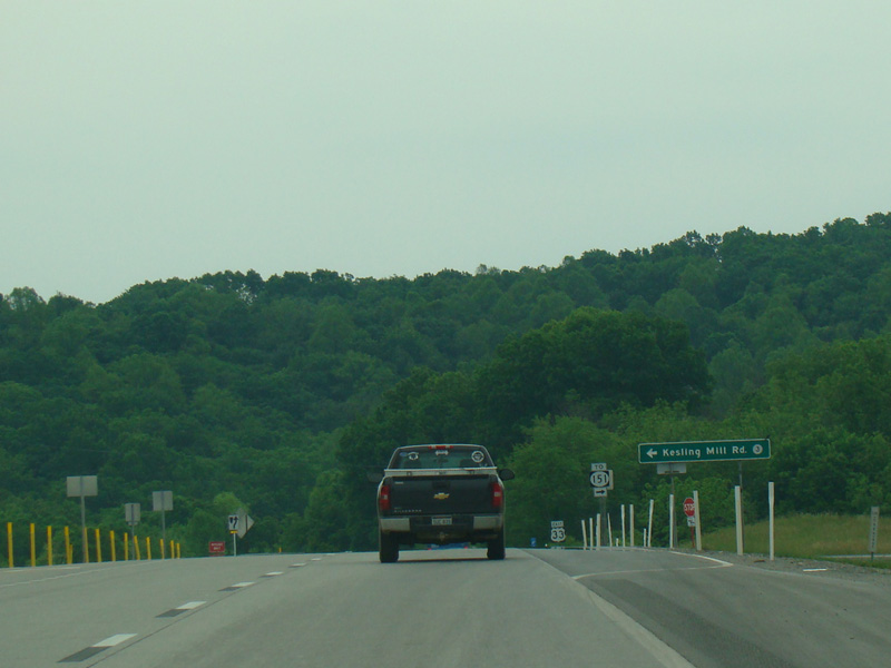
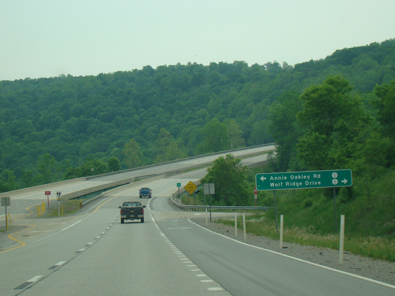
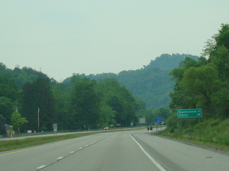
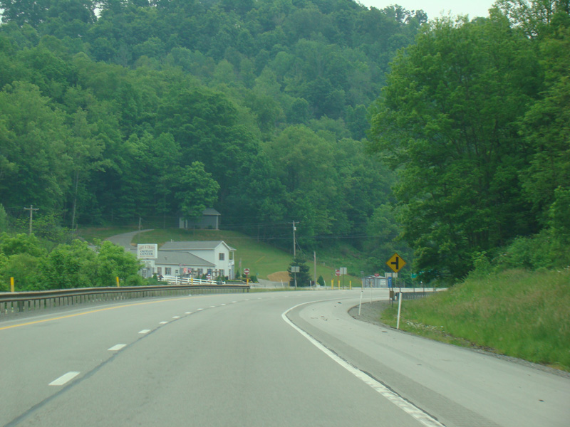
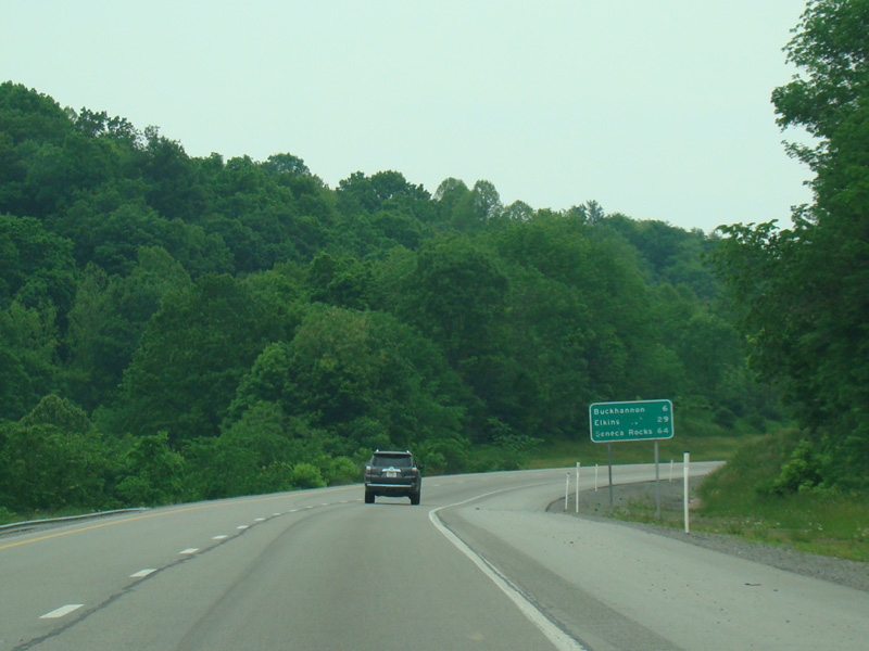
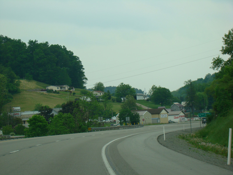
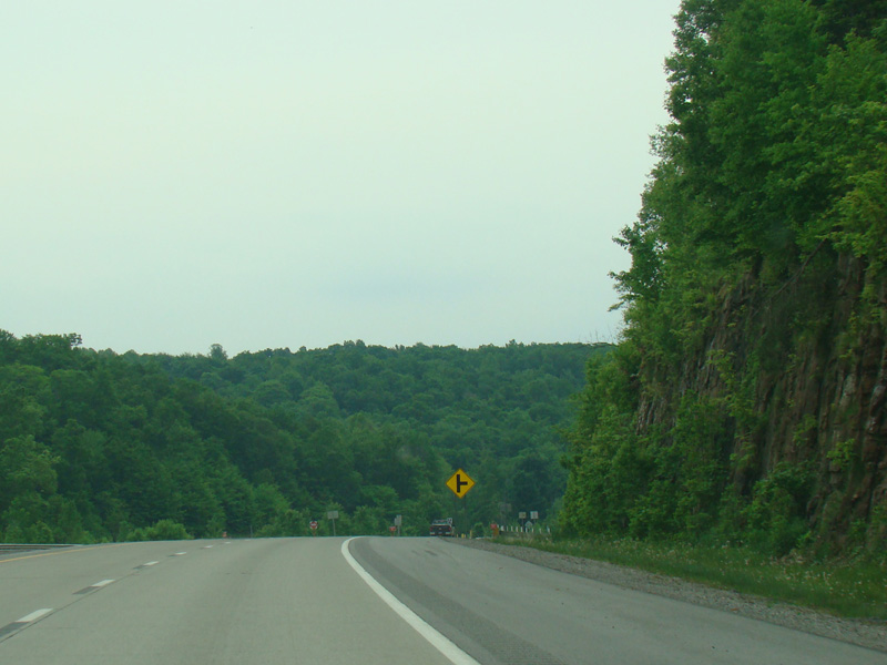
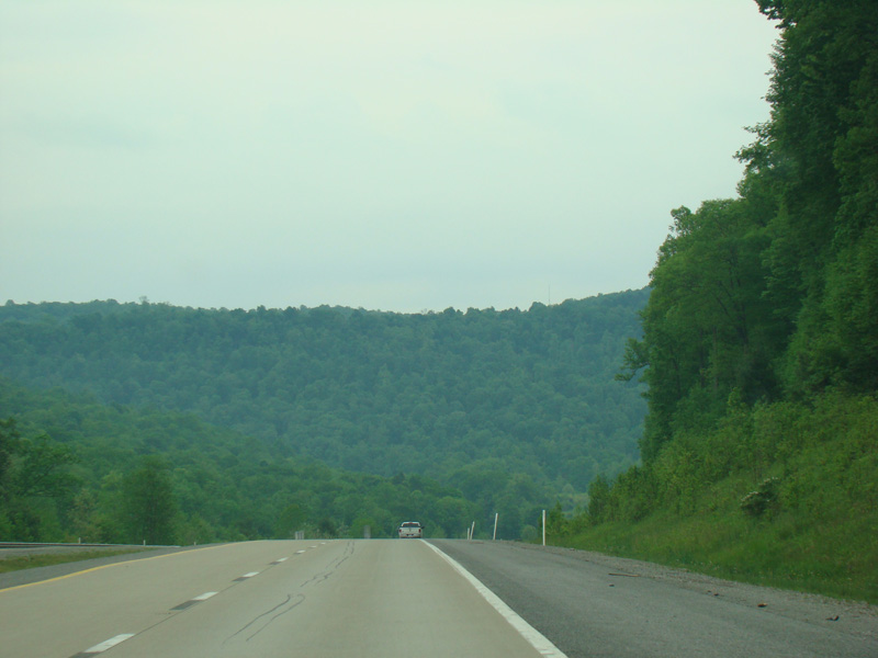
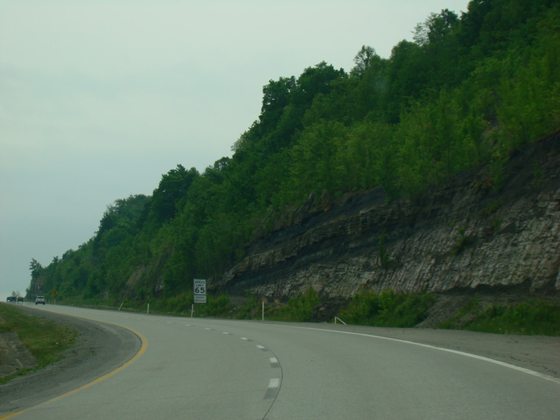
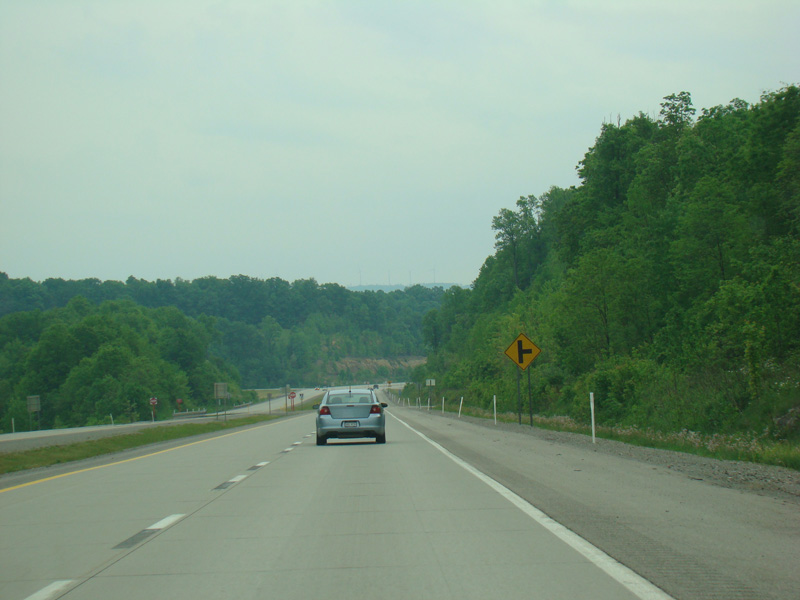
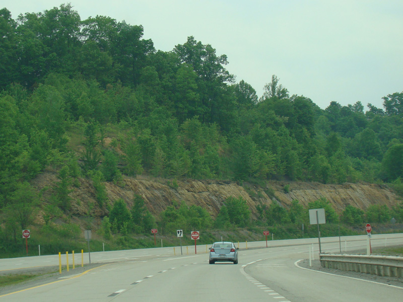
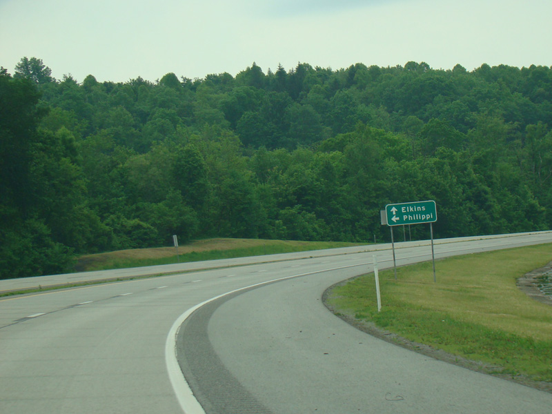
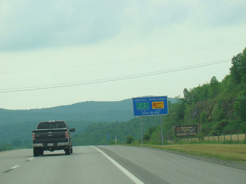
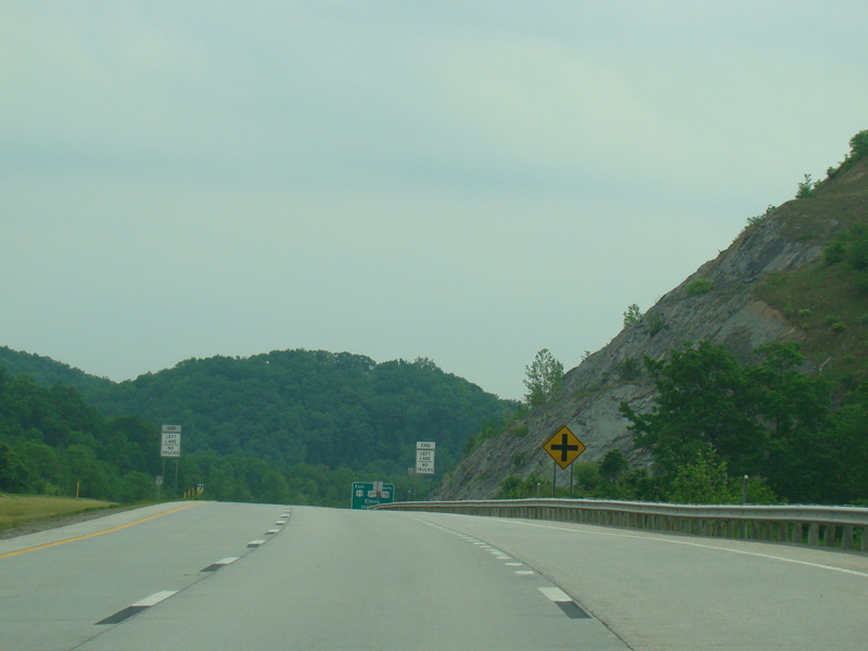
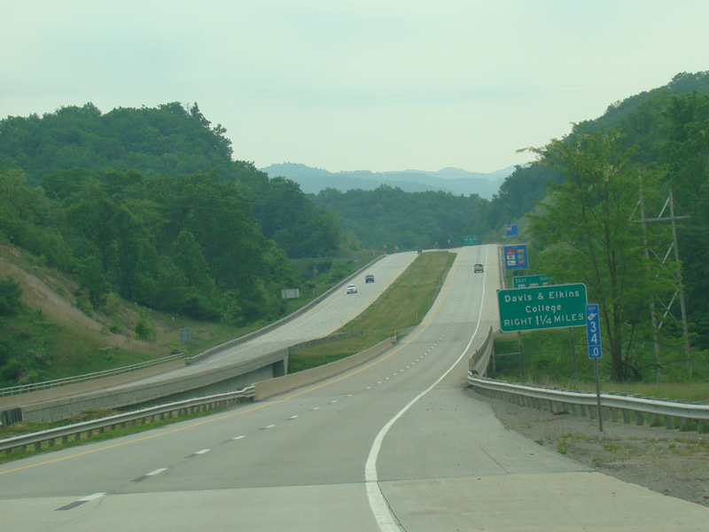
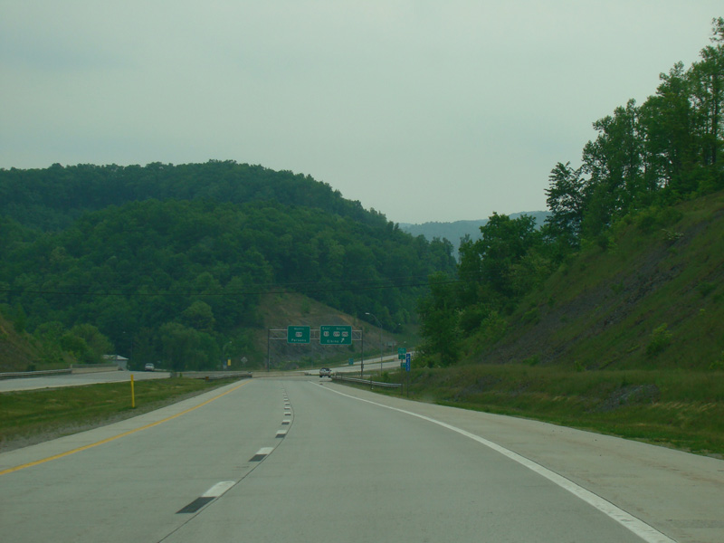
There are uncontrolled at-grade intersections at Weatherford Boulevard (CR 33/16), Morton Avenue (CR 13), Industrial Park Road (CR 33/15), Childers Run Road (CR 5/9), Upper Childers Run Road (CR 5/11), Old Elkins Road (CR 151), Kesling Mill Road (CR 3), Annie Oakley Road (CR 3/6), and Wolf Ridge Drive (CR 3/6).
Photos taken May 2016.
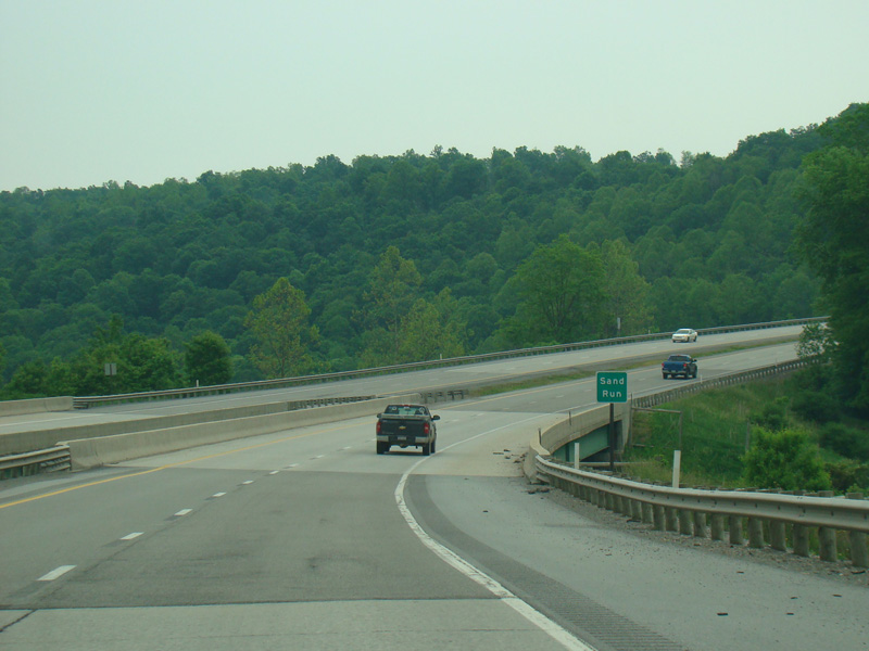
There is a bridge over Sand Run.
Photo taken May 2016.
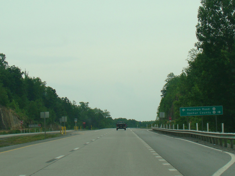
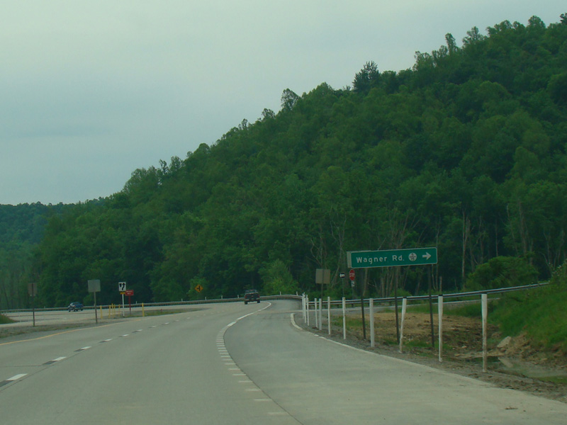
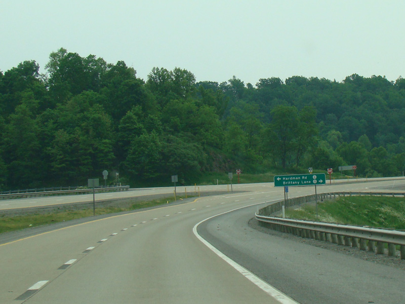
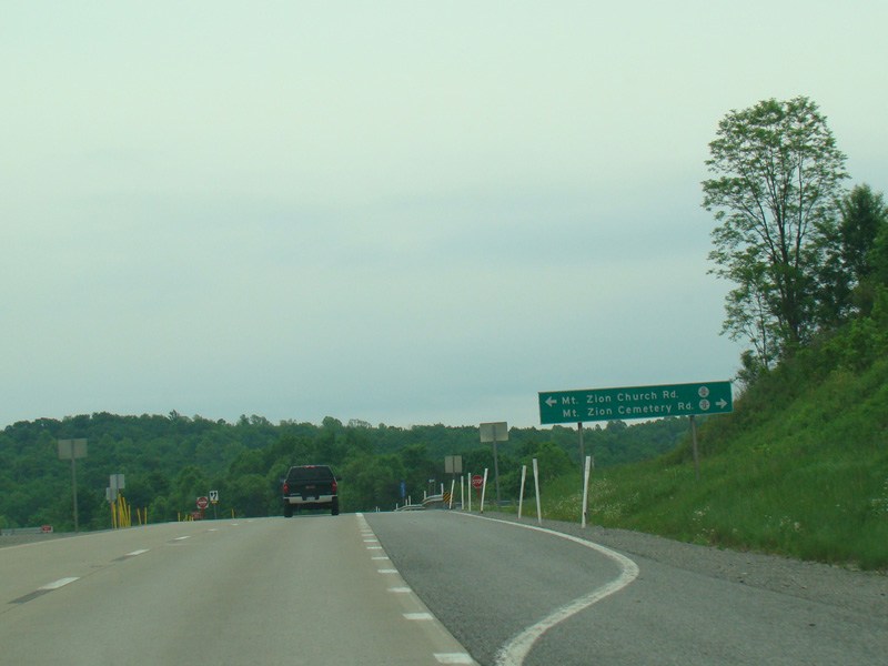
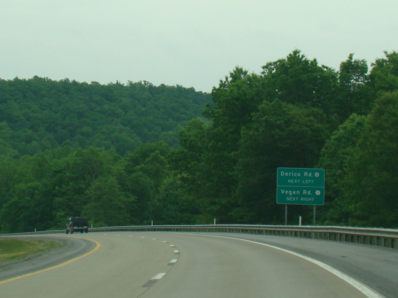
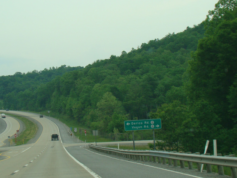
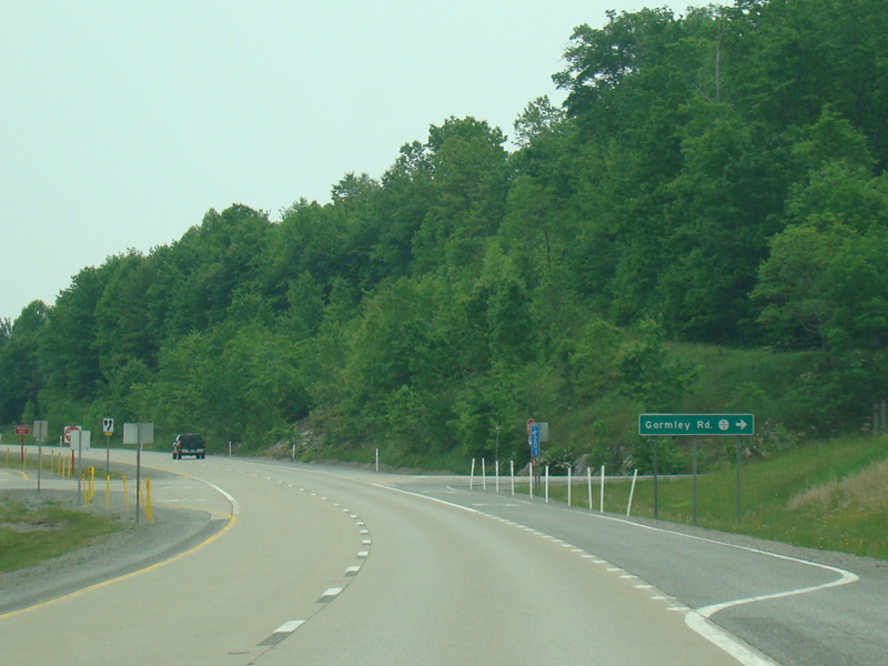
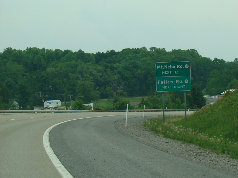
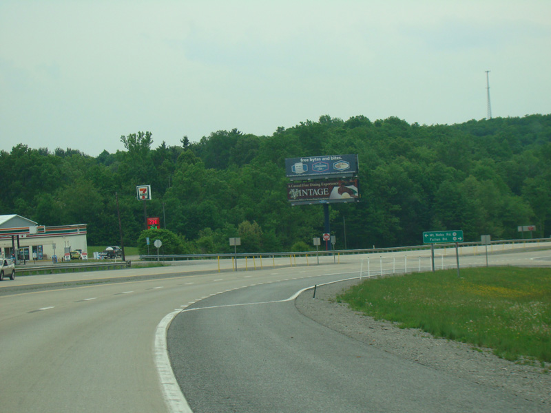
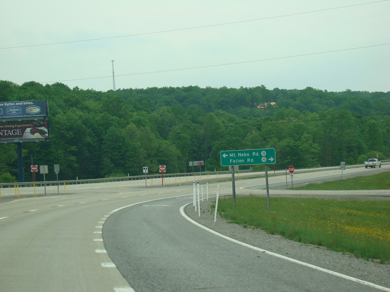
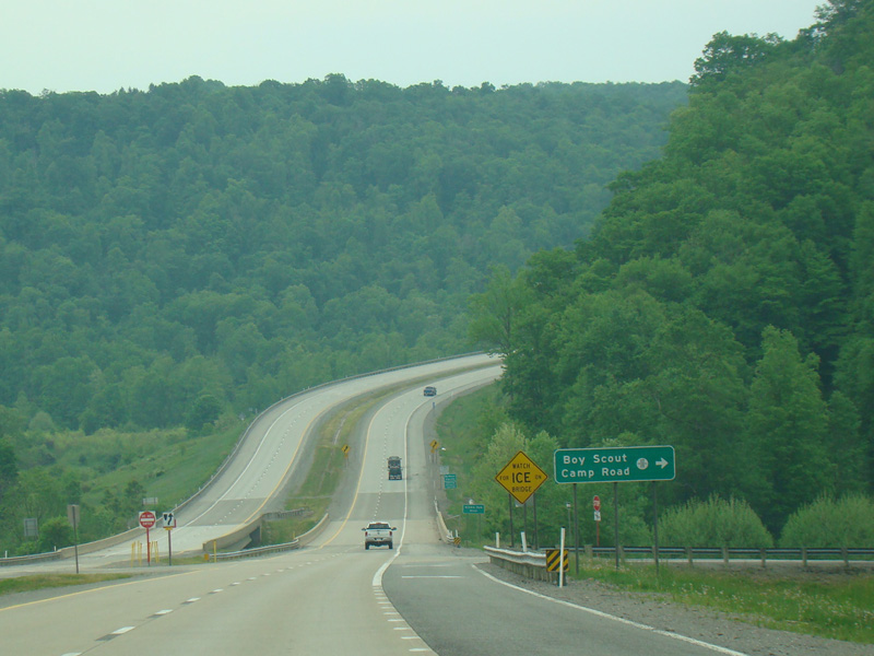
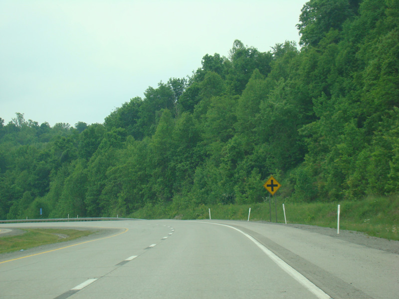
There are uncontrolled at-grade intersections at Hardman Road (CR 3/9), Wagner Road (CR 5/15), Brittany Lane (CR 33/16), Mount Zion Church Road (CR 10/14), Mount Zion Cemetery Road (CR 10/14), Derico Road (CR 10/18), Vegan Road (CR 10/18), Gormley Road (CR 10/12), Mount Nebo Road (CR 10), Fallen Road (CR 10), and Boy Scout Camp Road (CR 10/19).
Photos taken May 2016.
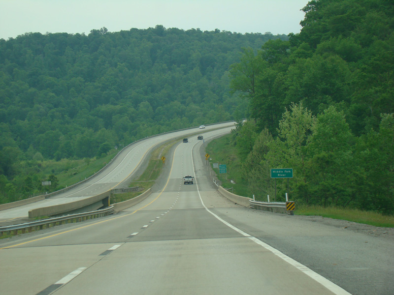
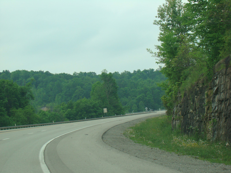
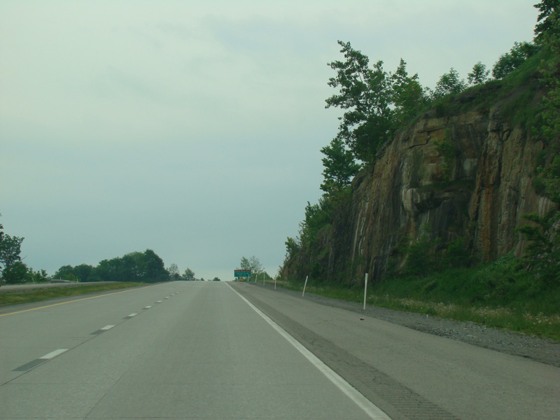
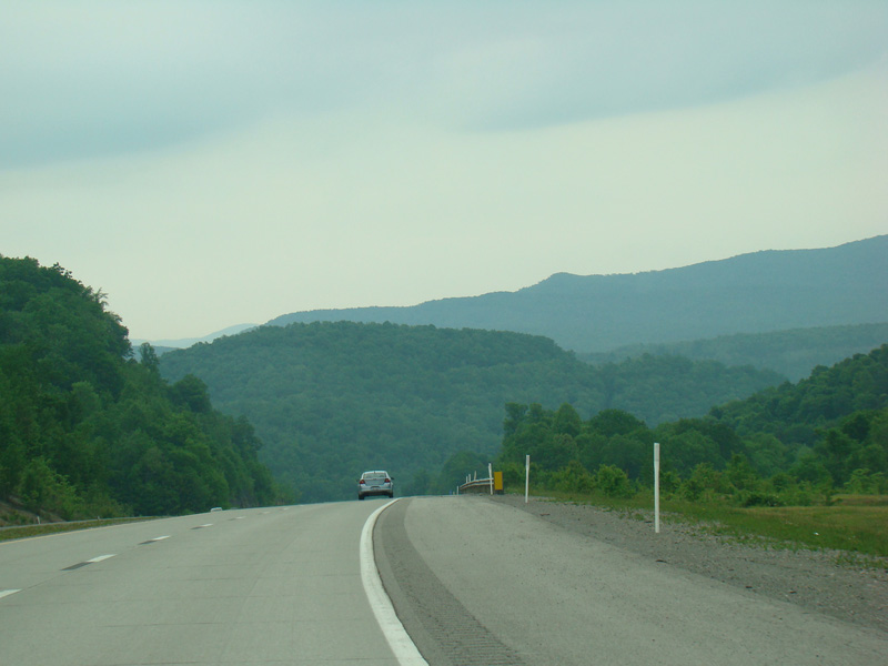
There is a bridge over the Middle Fork River.
Photo taken May 2016.
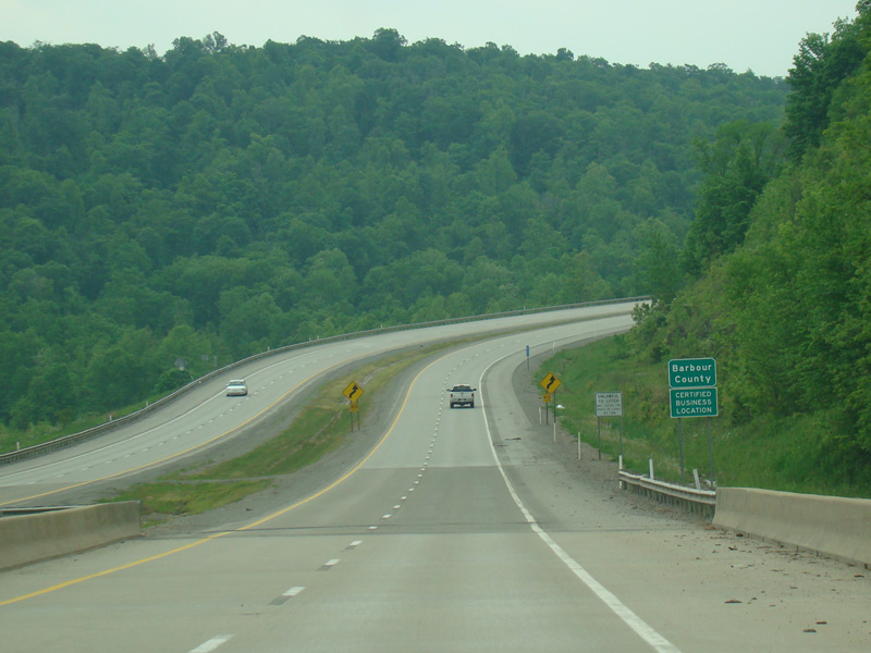
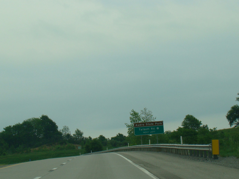
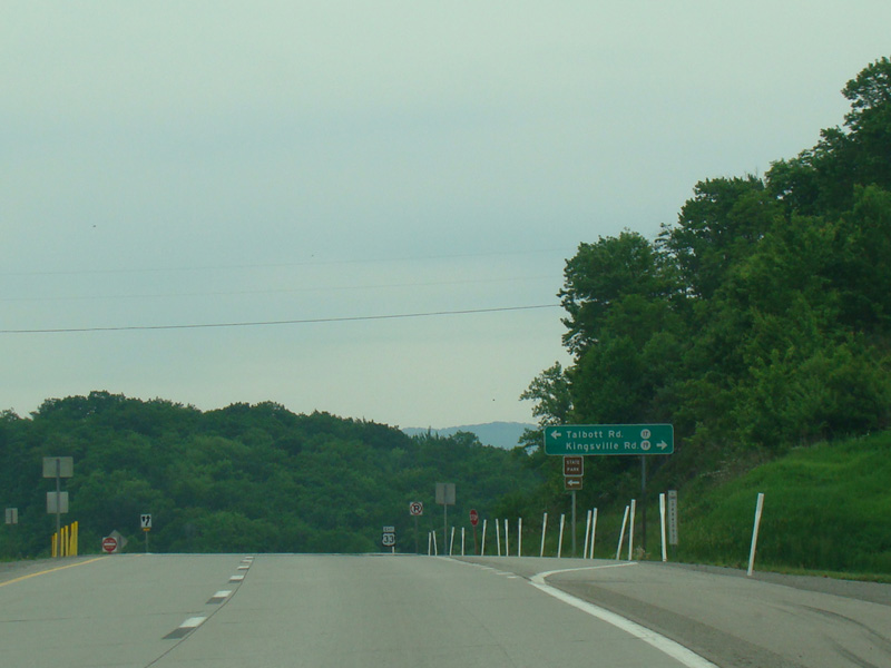
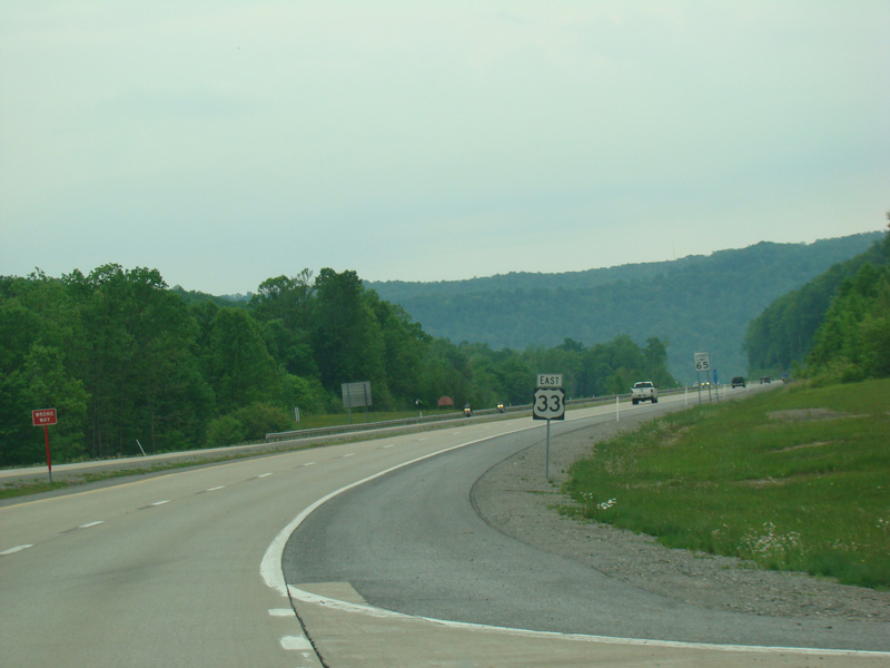
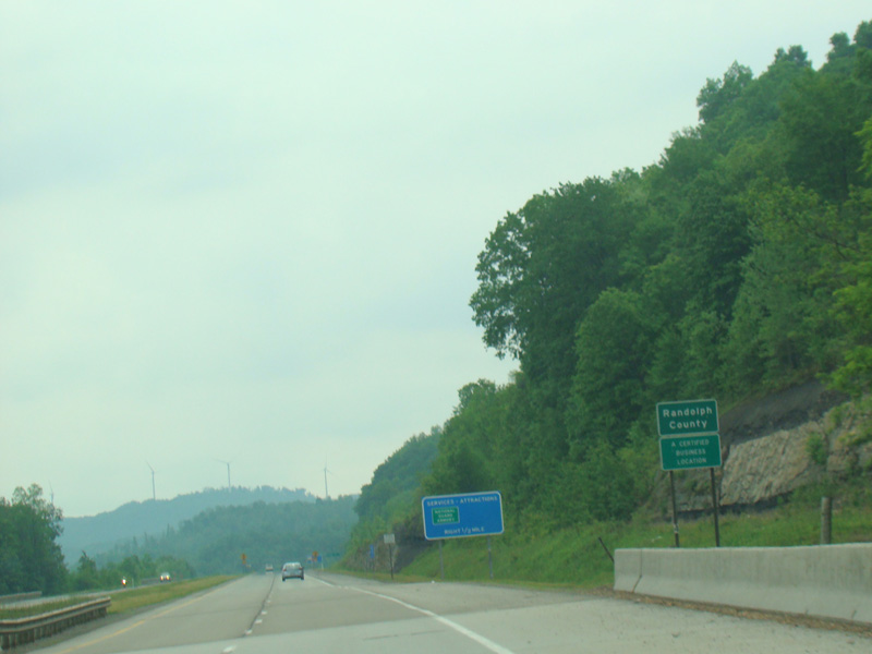
Welcome to Barbour County! There is an uncontrolled at-grade intersection at Talbott Road (CR 17) and Kingsville Road (CR 19).
Photos taken May 2016.
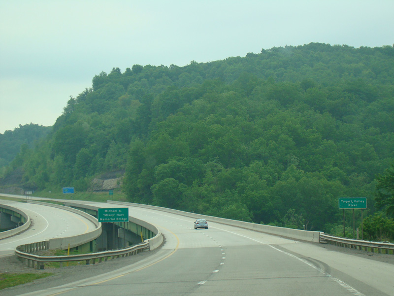
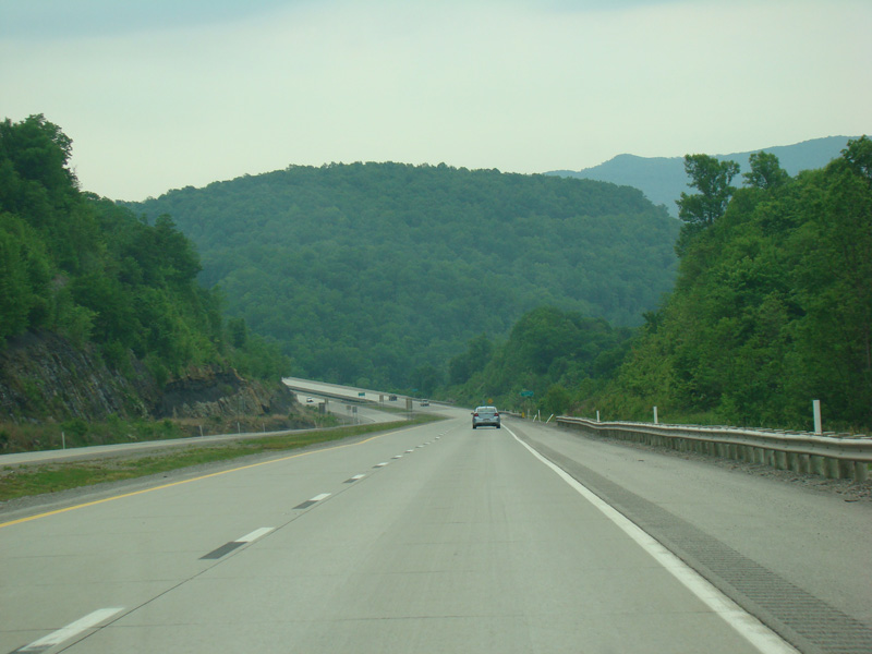
There is a bridge over the Tygart Valley River.
Photo taken May 2016.
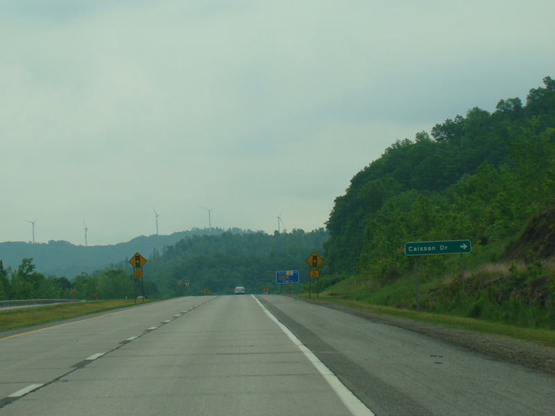
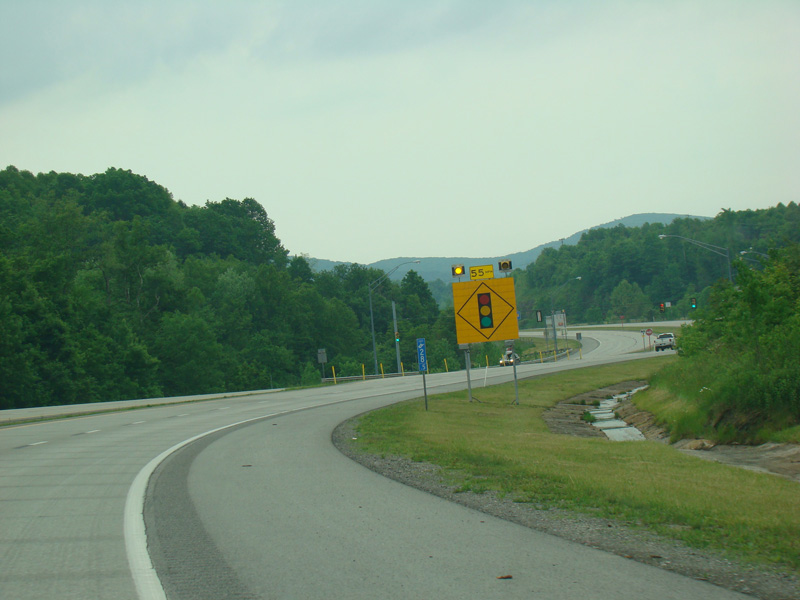
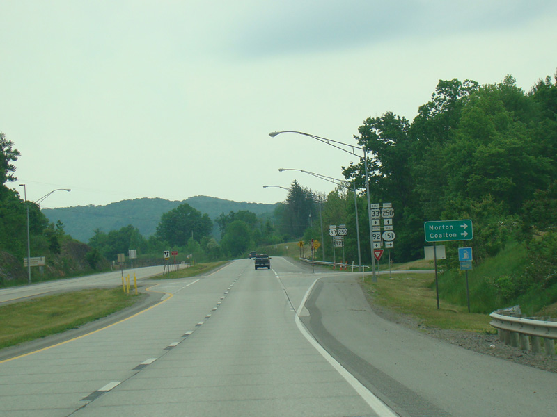
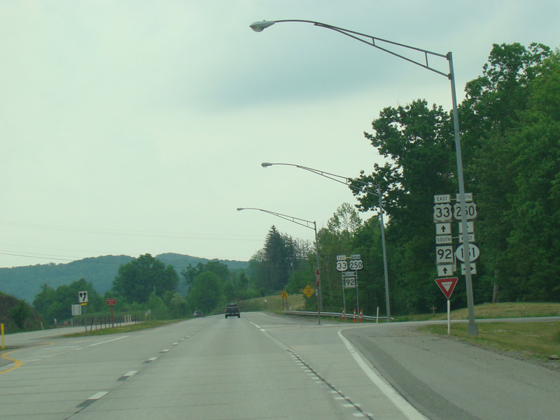
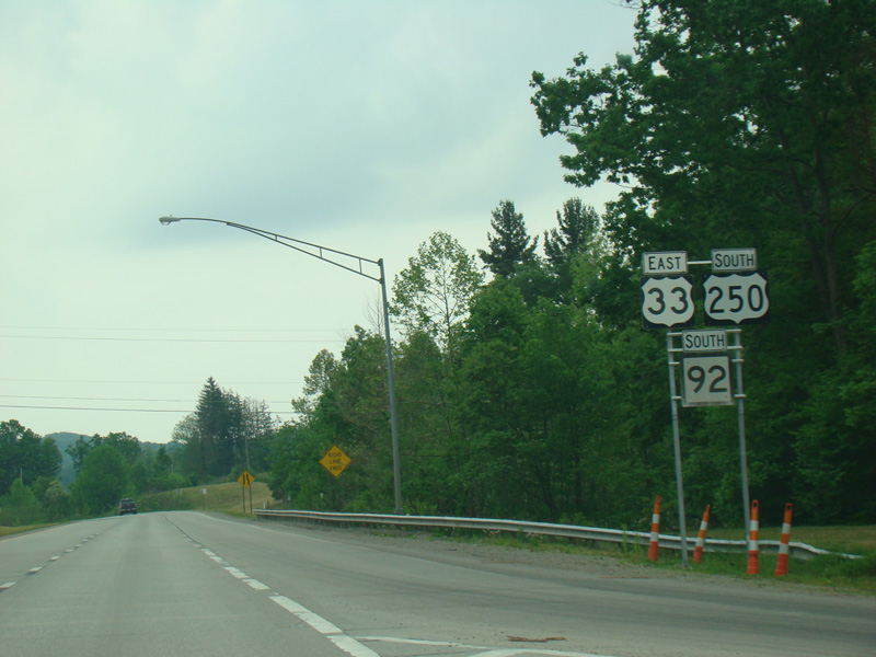
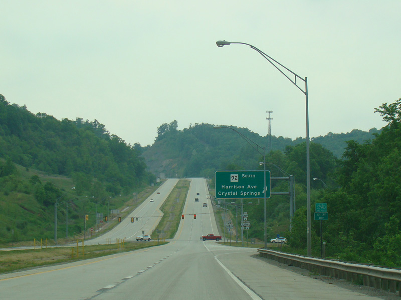
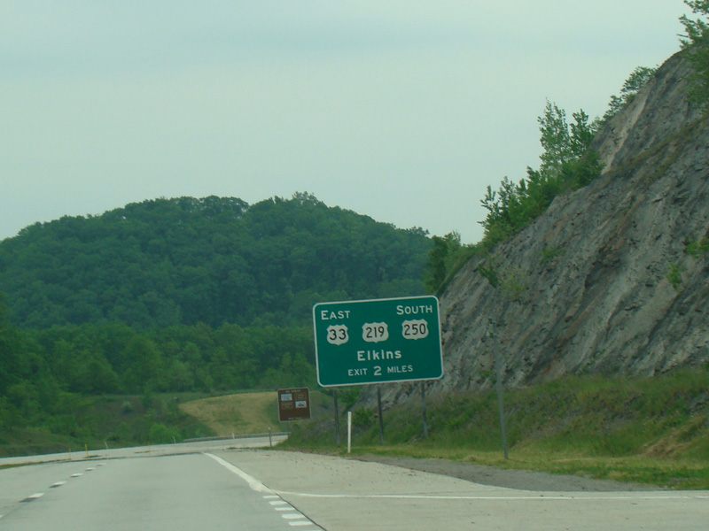
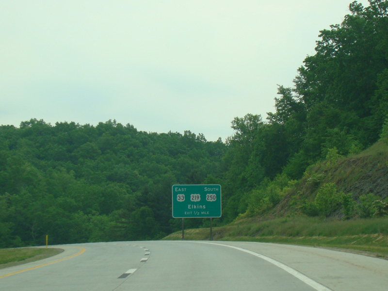
Welcome to Randolph County! Caisson Drive begins on the right at an uncontrolled at-grade intersection. There is a traffic light at US 250/WV 92. Turn left to go north. Southbound US 250/WV 92 is multiplexed with US 33 along Corridor H straight ahead.
Photos taken May 2016.
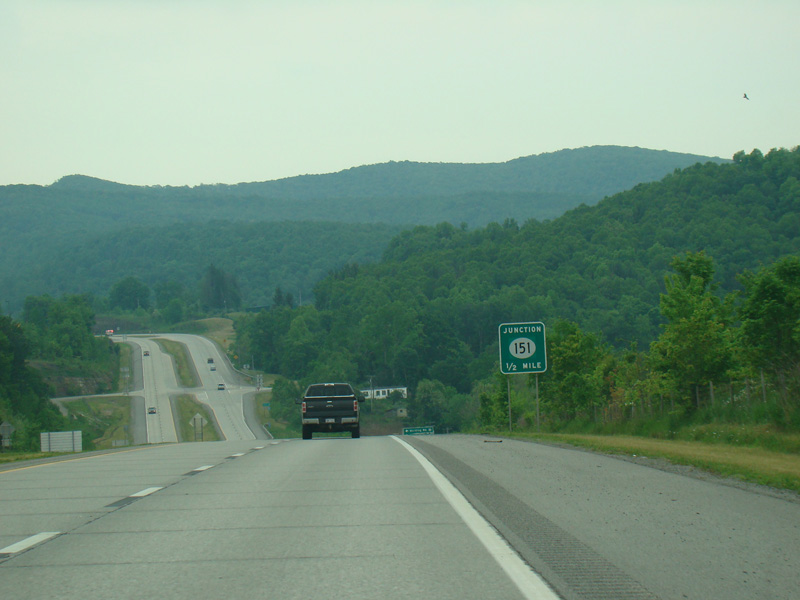
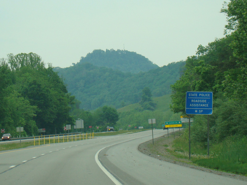
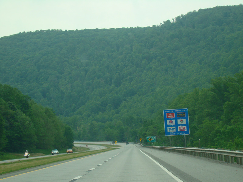
CR 151 begins on the right at an uncontrolled at-grade intersection.
Photos taken May 2016.
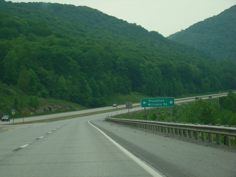
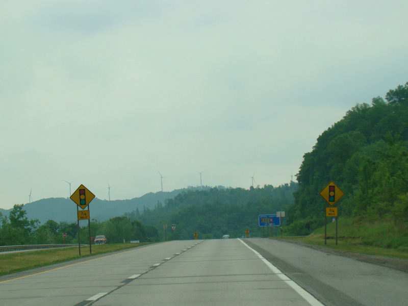
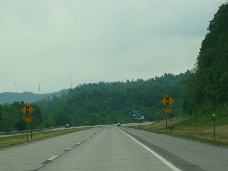
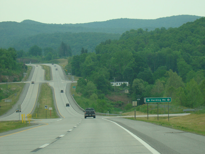
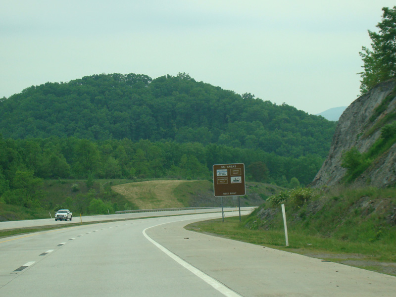
Proudfoot-Williams Road (CR 250/9) begins on the left along this stretch.
Photos taken May 2016.
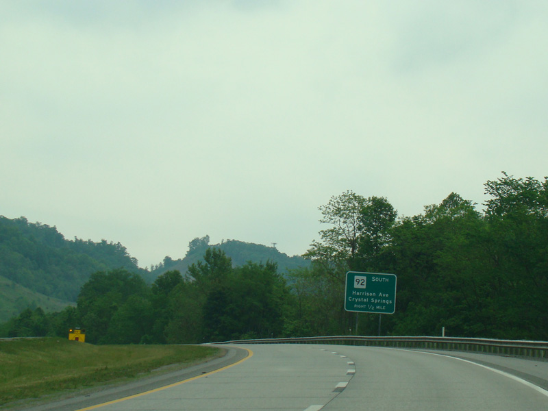
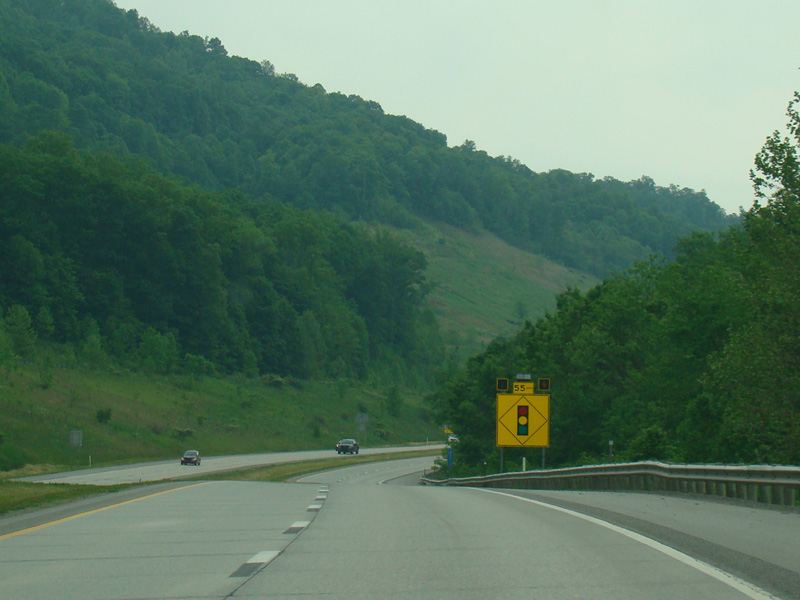
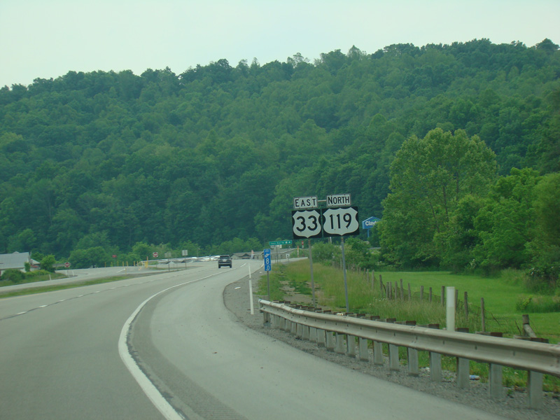
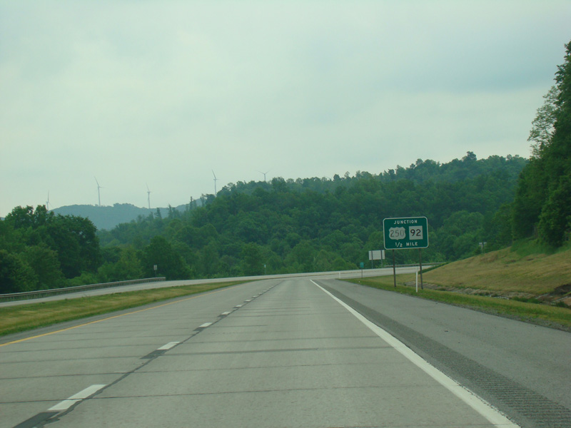
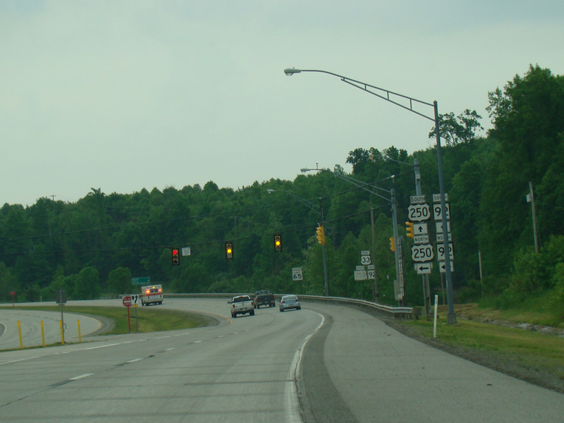
WV 92 splits off to the right at a traffic light. Continue straight ahead on Corridor H to stay on US 33/US 250.
Photos taken May 2016.

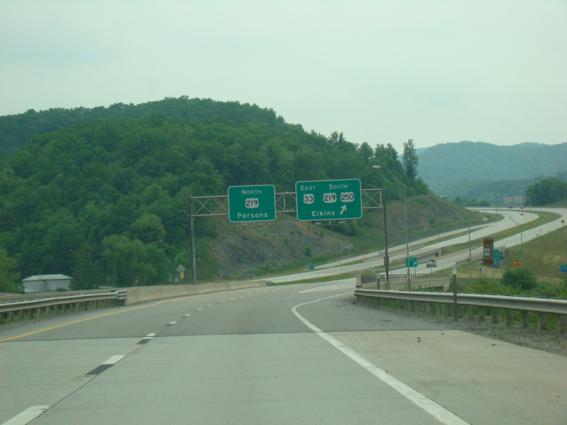
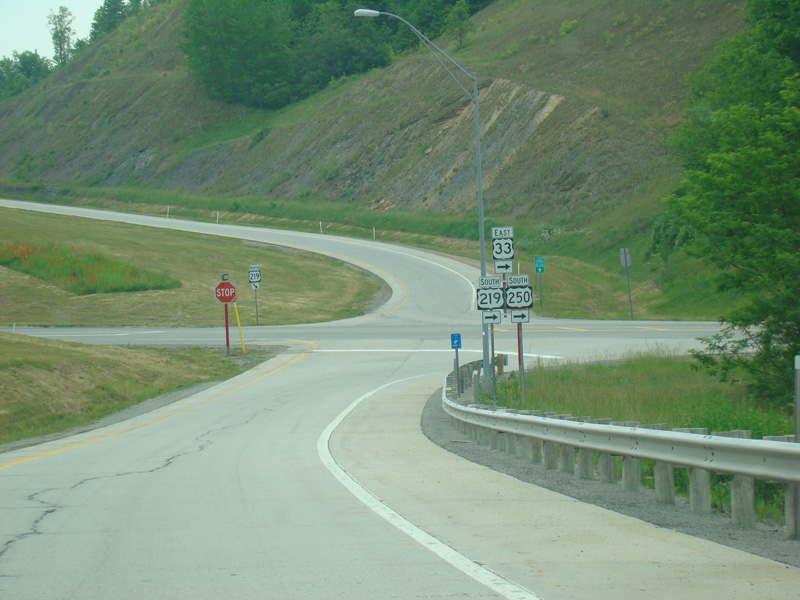
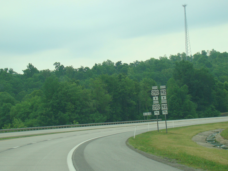
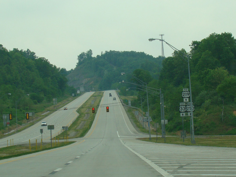
The exit ramp ends at a stop sign. Turn right to stay on US 33/US 219/US 250.
Photo taken May 2016.
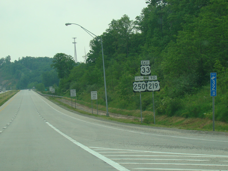
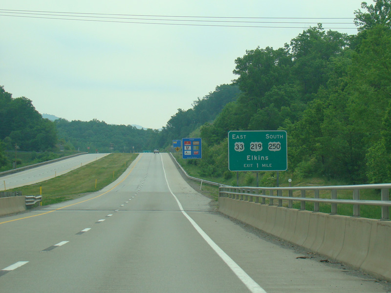
US 33 is multiplexed with US 219/US 250 along North Randolph Avenue and with US 219/US 250/WV 92 along Seneca Trail through Elkins.