- Direction:
- East/West
- Western Terminus:
- PA 434 at the New York-Pennsylvania state line
- Eastern Terminus:
- CT 55 at the New York-Connecticut state line
- Distance:
- 121.71 miles
- Counties:
- Sullivan, Ulster, Dutchess
- Signed:
- Yes
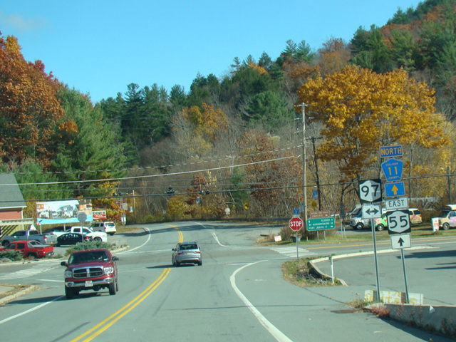
NY 55 is an east/west route crossing New York State from Pennsylvania to Connecticut. PA 434 becomes NY 55 at the bridge carrying it over the Delaware River to New York at its northern terminus. NY 55 runs north to Liberty, where it is multiplexed with NY 52 for a few blocks, and then east to US 209 in Napanoch. It is multiplexed with US 209 for a couple of miles to the northeast to Kerhonkson where US 44 begins. NY 55 follows US 44 east to Highland and then across the Mid-Hudson Bridge to Poughkeepsie. The two routes remain multiplexed through Poughkeepsie and then split, with US 44 following Dutchess Turnpike and NY 55 following Freedom Plains Road. NY 55 runs east and southeast across Dutchess County to a grade-separated interchange with NY 22 in Pawling. It follows NY 22 north for a few miles to Wingdale, where it splits off. It continues east for a little over a mile to the border with Connecticut, where it becomes CT 55.
| Photo Gallery |
|---|
| Map |