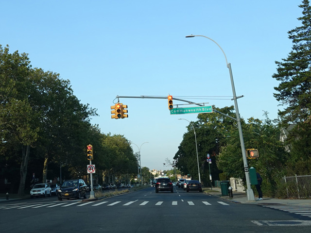
Union Turnpike
- Direction:
- East/West
- Western Terminus:
- Myrtle Avenue in Queens
- Eastern Terminus:
- Lakeville Road (Nassau CR 11) and Union Turnpike (NY 25C) at the Queens-Nassau county line
- Distance:
- 9.22 miles
- Counties:
- Queens
Union Turnpike is a major east/west route in northern Queens. It begins at Myrtle Avenue near the Jackie Robinson Parkway and runs east until Lakeville Road (Nassau CR 11) at the Queens-Nassau county line. It continues into Nassau as the unsigned NY 25C. It is a four-lane road for its entire length and most of it is divided. In the Kew Gardens section of Queens, Union Turnpike serves as a service road for the Jackie Robinson Parkway.
Many years ago, Union Turnpike was a state route for good part of its length. It was designated NY 25 from Queens Boulevard to Springfield Boulevard and NY 25C east of Springfield Boulevard. In 1970, NY 25 was moved to Hillside Avenue and NY 25C was decommissioned except for a short unsigned section in Nassau.
| Photo Gallery |
|---|
| Map |