- Direction:
- North/South
- Southern Terminus:
- Sunrise Highway (NY 27) in Queens
- Northern Terminus:
- Cross Island Parkway in Queens
- Distance:
- 9.71 miles
- Counties:
- Queens
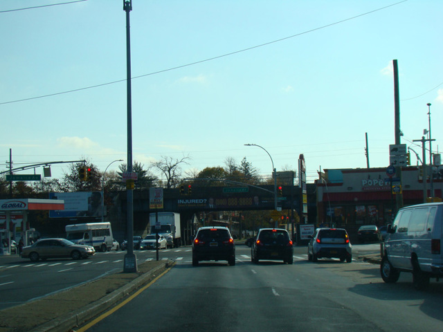
Francis Lewis Boulevard is a major north/south route in Queens. It begins as a local street at Hook Creek Boulevard and Hungry Harbor Road near the Queens-Nassau county line. A short distance to the north, it intersects Sunrise Highway (NY 27). Oversized street name signage along Francis Lewis Boulevard begins at this intersection. The southernmost section is a two-lane undivided road. There is an interchange with the Belt Parkway just north of NY 27. North of this interchange, Francis Lewis Boulevard is routed around Montefiore Cemetery along former sections of 138 Avenue, 230 Place, and 121 Avenue that have been renamed. Some portions of Francis Lewis Boulevard in this area are divided while others are not. A few blocks north of the cemetery, Francis Lewis Boulevard intersects Springfield Boulevard and widens to become a four-lane divided road. It continues north and northeast as a four- to six-lane divided road. There are interchanges with the Grand Central Parkway and the Long Island Expressway (I-495). It ends at the Cross Island Parkway near the Whitestone Bridge (I-678).
| Photo Gallery |
|---|
| Map |