Coney Island Avenue
- Direction:
- North/South
- Southern Terminus:
- Dead end in Brooklyn
- Northern Terminus:
- Park Circle in Brooklyn
- Distance:
- 5.23 miles
- Counties:
- Kings
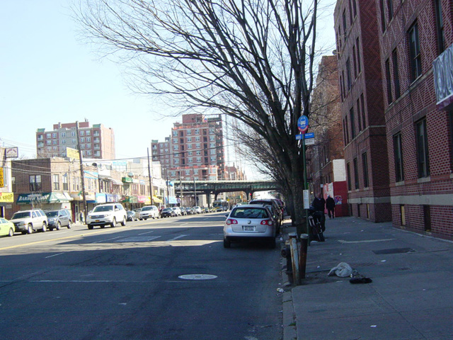
Coney Island Avenue is a major north/south route in Brooklyn. It begins at the boardwalk at Brighton Beach and extends north to Prospect Park. It ends at a traffic circle at the southwest corner of the park that is called Park Circle. There is access to Parkside Avenue, Prospect Park Southwest, and a ramp leading to the Prospect Expressway (NY 27). Coney Island Avenue is a four-lane undivided road for its entire length, except for its southernmost block, where it narrows down to two lanes. Contrary to what its name implies, Coney Island Avenue does not go to Coney Island but rather to Brighton Beach, which is to the east of Coney Island.
| Photo Gallery |
|---|
| Map |