Main Street

- Direction:
- East/West
- Western Terminus:
- Poughkeepsie city line
- Eastern Terminus:
- Taft Avenue (CR 38) in Poughkeepsie
- Distance:
- 0.48 miles
- Signed:
- Yes
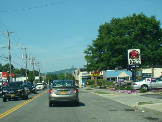
Main Street is an east/west route in Poughkeepsie. It begins as a local street at the Hudson River, just west of US 9. In the area where US 44/NY 55 follows a pair of parallel one-way streets, Main Street is between its eastbound and westbound lanes. Upon crossing the city line and leaving the City of Poughkeepsie, Main Street comes under county jurisdiction as CR 114. It continues east for about half a mile. It ends at Taft Avenue (CR 38), where it turns into ramps leading to Dutchess Turnpike (US 44) and Freedom Plains Road (NY 55) just east of the end of the US 44/NY 55 multiplex. The entire length is a two-lane undivided road.
| Photo Gallery |
|---|
| Map |