Canterbury Road, Upper King Road, Main Street, Dundee Road, Moose Lodge Road, Westville Road, Southern Boulevard, West Railroad Avenue, Wyoming Mill Road, Hazlettville Road, West North Street, South Saulsbury Road, McKee Road, West Denneys Road, Kenton Road, Seven Hickories Road, Brenford Road, Mount Friendship Road, Wheatleys Pond Road, Alley Corner Road, Millington Road, Duck Creek Road, Clayton Greenspring Road, Vandyke Greenspring Road, Dexter Corner Road, Blackbird Station Road, Dogtown Road, Levels Road, Middletown Warwick Road, Bunker Hill Road, Choptank Road, Bethel Church Road
- Direction:
- North/South
- Southern Terminus:
- Milford Harrington Highway (DE 14) in Milford
- Northern Terminus:
- Summit Bridge Road (DE 896/DE 71) in Middletown
- Distance:
- 57.05 miles
- Counties:
- Kent, New Castle
- Signed:
- Yes
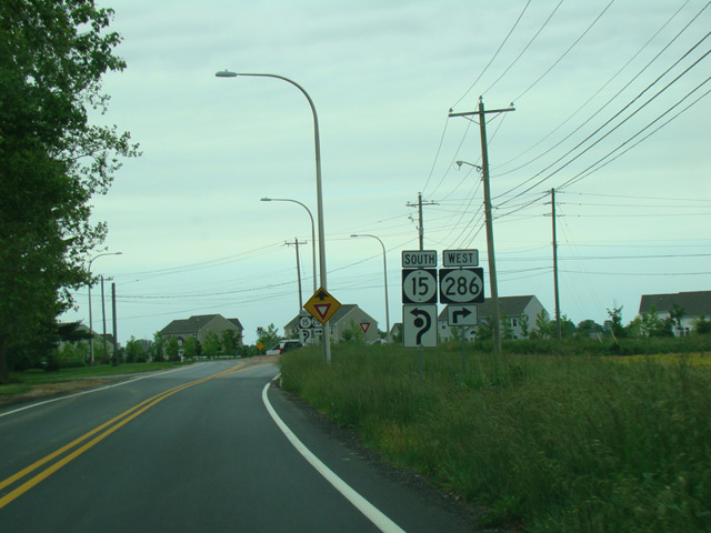
DE 15 is a north/south route through the northern half of Delaware. It begins at Milford Harrington Highway (DE 14) in Milford and runs north, zigzagging its way through the state. In most places, it is a two-lane undivided road, and it has a number of multiplexes along the way. It eventually ends at Summit Bridge Road (DE 896/DE 71) just south of the Summit Bridge.
| Photo Gallery |
|---|
| Map |