- Direction:
- North/South
- Southern Terminus:
- New York-Connecticut state line
- Northern Terminus:
- Connecticut-Rhode Island state line
- Distance:
- 111.57 miles
- Counties:
- Fairfield, New Haven, Middlesex, New London
- Signed:
- Yes
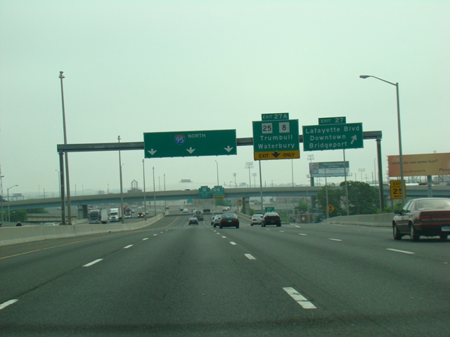
The Connecticut Turnpike is the main highway in southern Connecticut. It is part of I-95, which runs from Florida to Maine. The New England Thruway becomes the Connecticut Turnpike at the New York-Connecticut state line. It runs northeast to New Haven, and then east along the shore. At exit 76 in East Lyme, the Connecticut Turnpike leaves I-95 and runs north as I-395. I-95 continues east to the Rhode Island border. It is a six-lane highway from the New York border to exit 54 in Branford. It is then a four-lane highway for the remainder of its length, except for section between exits 83 and 88 in New London and Groton, where it is six lanes wide again for a short distance. Although the section of I-95 in Connecticut runs primarily east and west, it is signed as a north/south road for consistency with the rest of I-95.
| Photo Gallery | Exit List |
|---|---|
| Map | |